Montezuma Castle Ruins Map
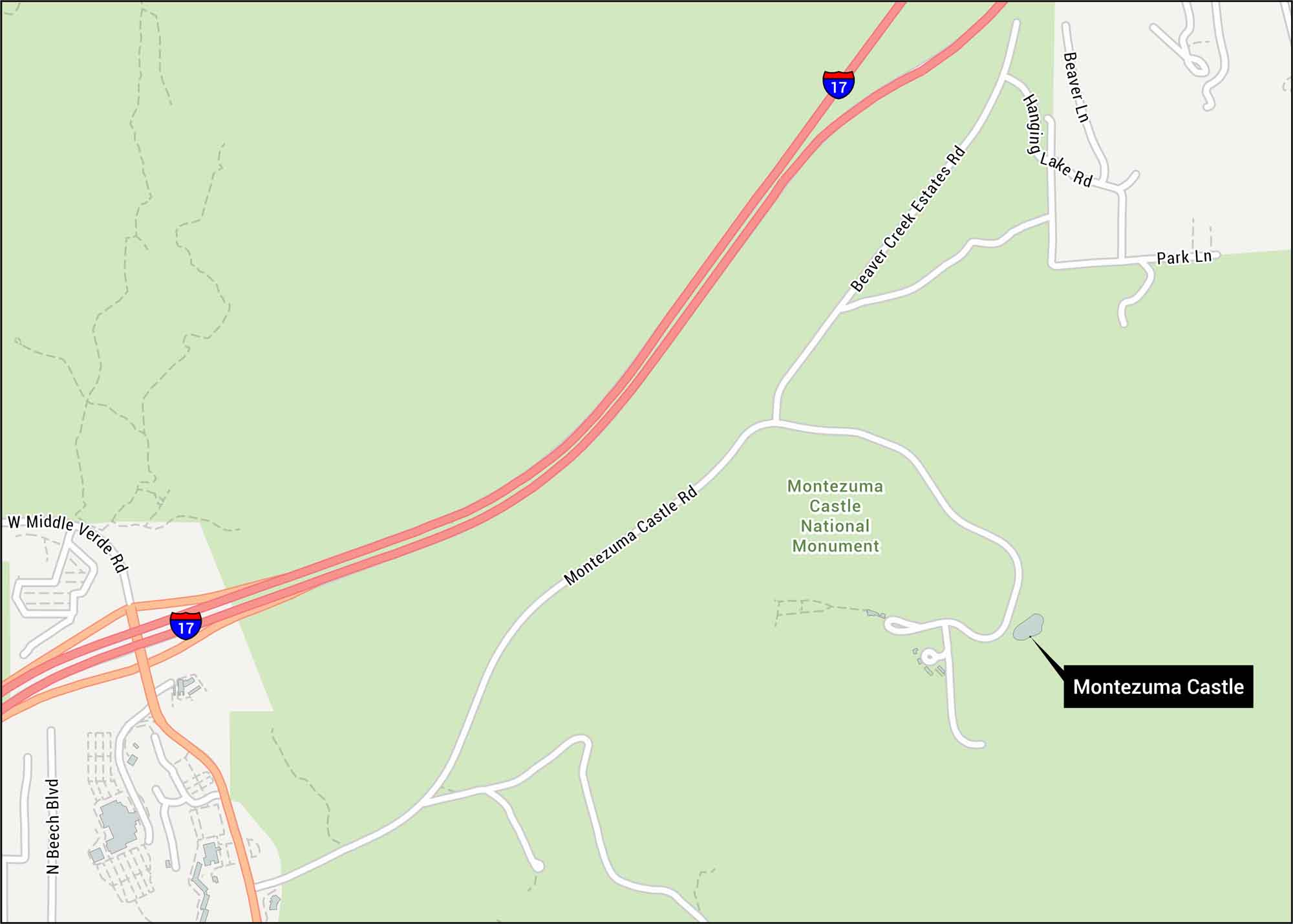
Seize the moment to see the Montezuma Castle Ruins. Our map shows this iconic cliff off I-17 near Camp Verde. You’ll see Montezuma Castle Road and trails leading to the castle ruins.
Map Information
On the Map
Interstates/Highways: I-17
Major Roads: Montezuma Castle Rd, Middle Verde Rd, Beaver Creek Estates Rd, Lake Rd, Hanging Rock Rd, Park Ln, Beech Blvd, Beaver Ln
Parks/Forests: Montezuma Castle National Monument
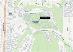
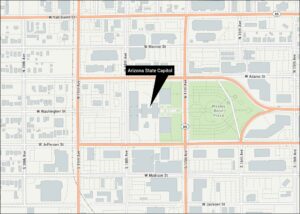
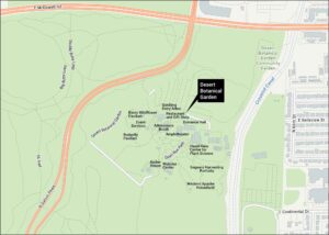
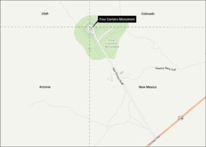
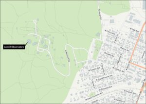
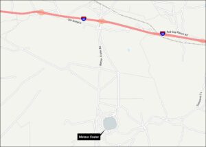
Tourist Maps in Arizona
Discover all the prime locations with our tourist maps.