Map of Montana
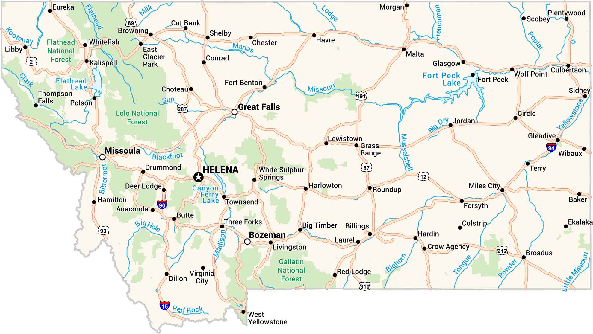
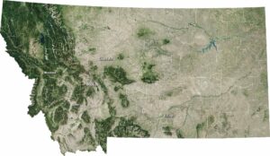
Our map of Montana stretches wide. Rivers carve through the land, from the Missouri to the Yellowstone. You can see small towns located between forests and open plains. It’s big, quiet country, built for the long drive.
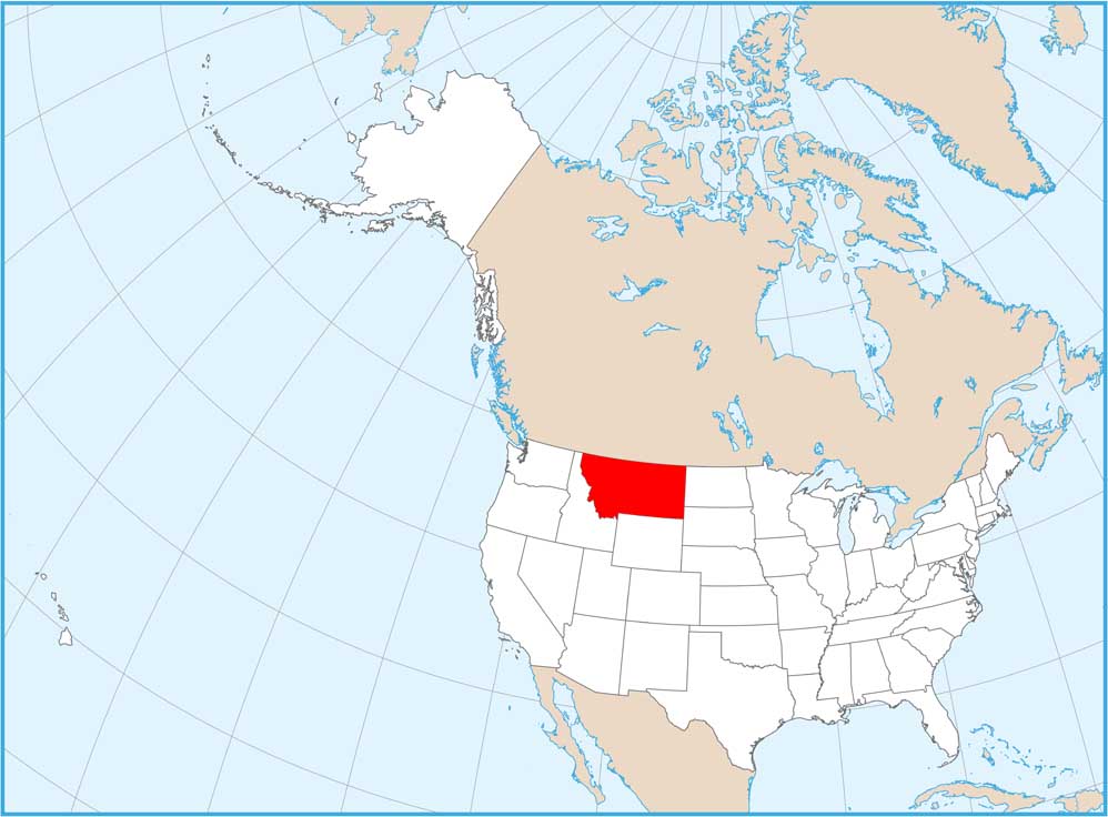
Montana State Maps
Wander through this wide-open state with our map collection.


Map Information
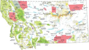
On the Map
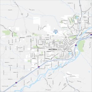
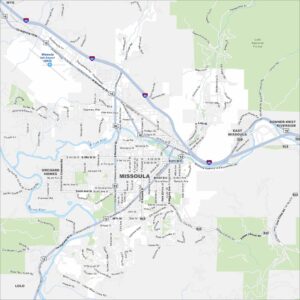
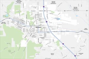
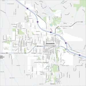
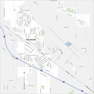
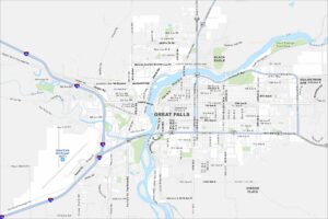
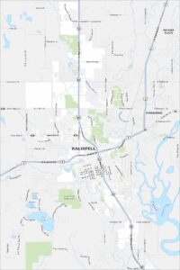
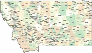
Montana City Maps
See our map collection of Billings and Montana cities