Map of Mission, Texas
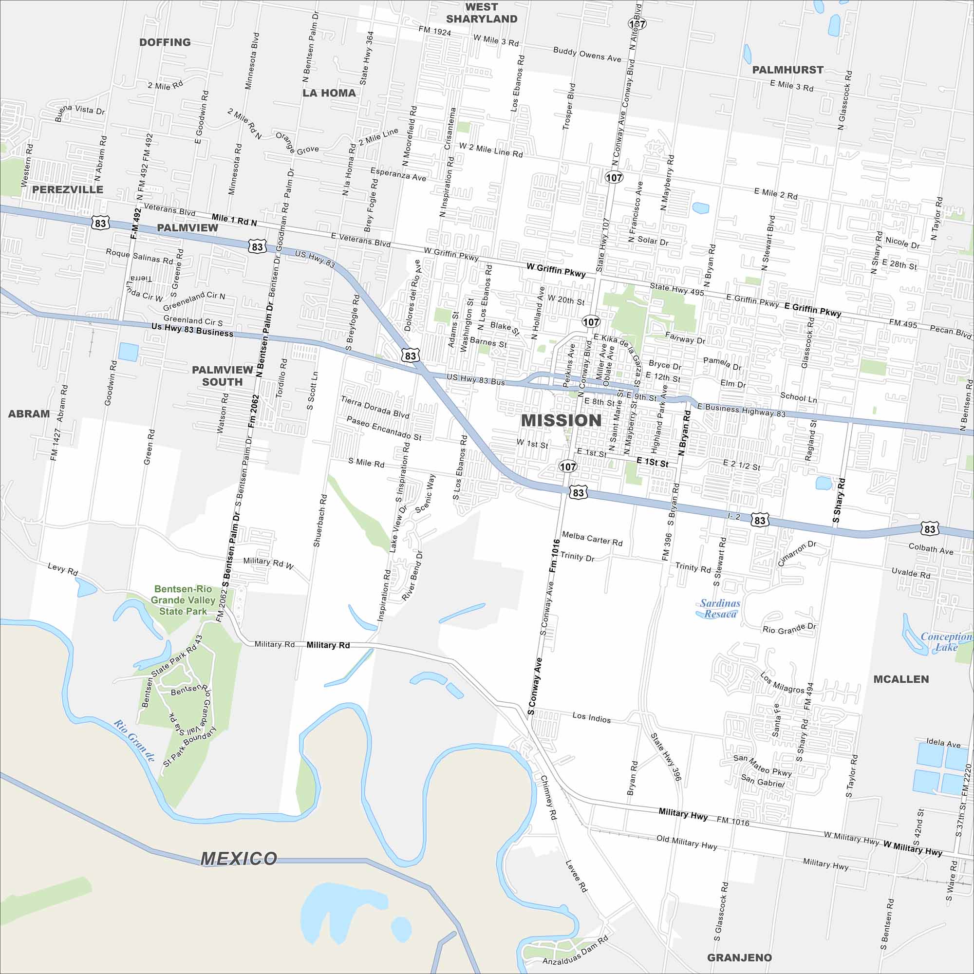
Our map of Mission shows a border city in the Rio Grande Valley. Neighborhoods spread across flat farmland, with citrus orchards nearby. The Rio Grande River marks its southern edge.
Map Information
On the Map
Interstates/Highways: I-2, US Hwy 83, State Rte 107 Major Roads: Conway Ave, Griffin Pkwy, Bentsen Palm Dr, Inspiration Rd, Stewart Rd, Shary Rd, Business 83, Military Hwy, 2 Mile Rd, Mile 1 Rd, Glasscock Rd, Bryan Rd, Los Ebanos Rd, Taylor Rd, Main St, 1st St, 24th St, Holland Rd, Moorefield Rd, Tordillo Rd Lakes and Reservoirs: Sardinas Resaca, Conception Lake Major Rivers: Rio Grande Nearby Communities: McAllen, Palmview, Alton, Granjeno, La Homa, Perezville, Abram, Doffing, MexicoTexas State Maps
Scan our maps of the massive southern state of Texas.


City Maps of Texas
Explore our map collection of Texas cities.


