Map of Midland, Texas
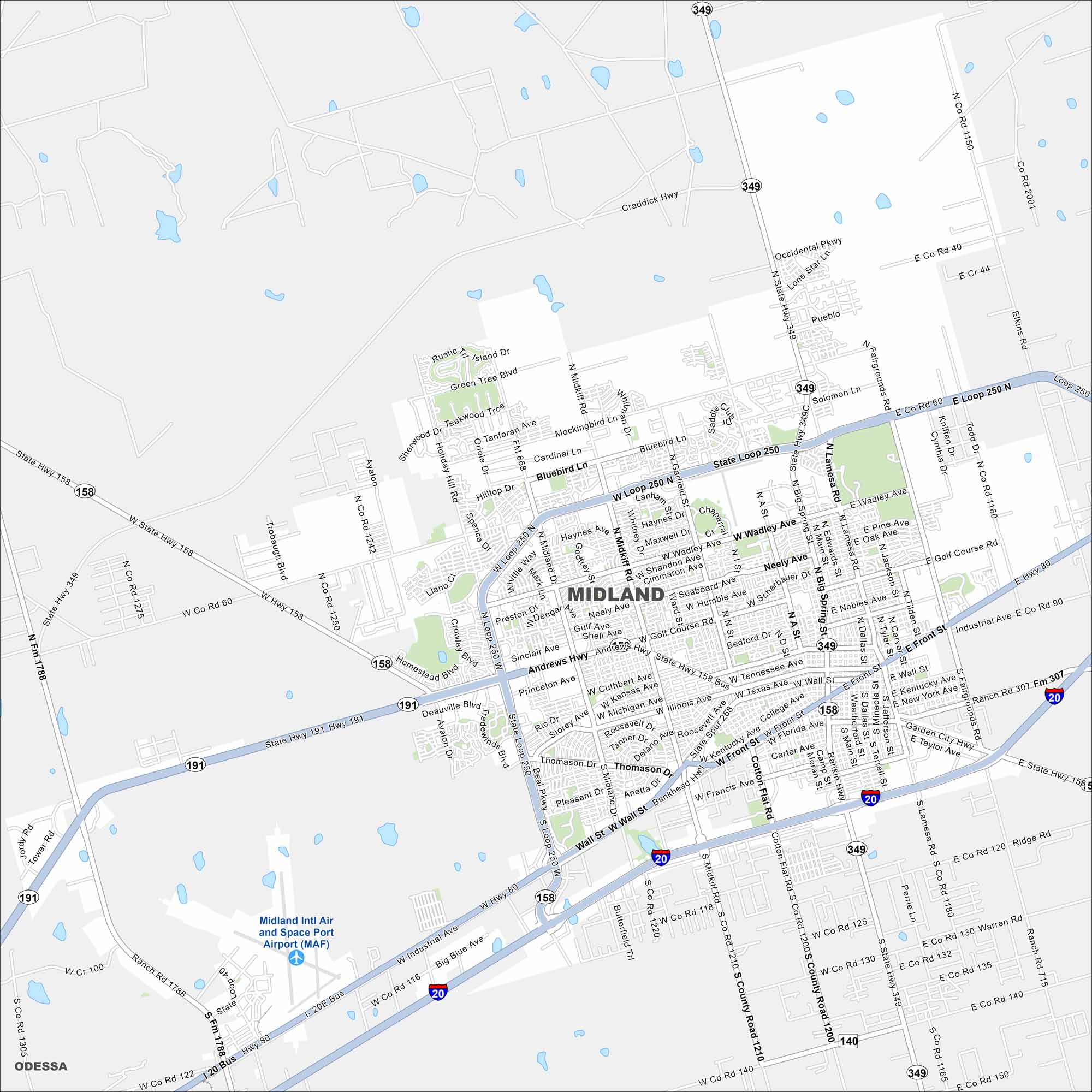
Explore our map of Midland, located in West Texas. Wide streets, oil industry landmarks, and residential areas define the city. It’s a hub of the Permian Basin.
Map Information
On the Map
Interstates/Highways: I-20, Loop 250, State Rte 158, State Rte 191, State Rte 349 Major Roads: Andrews Hwy, Wadley Ave, Midkiff Rd, Big Spring St, Wall St, Texas Ave, Florida Ave, Front St, Garfield St, Neely Ave, Lamesa Rd, Cuthbert Ave, Illinois Ave, Michigan Ave, Longview Ave, Scharbauer Dr, Briarwood Ave, Mockingbird Ln, Industrial Ave, Garden City Hwy Airports: Midland Intl Air and Space Port (MAF) Nearby Communities: OdessaTexas State Maps
Scan our maps of the massive southern state of Texas.


City Maps of Texas
Explore our map collection of Texas cities.


