Map of Melrose, Massachusetts
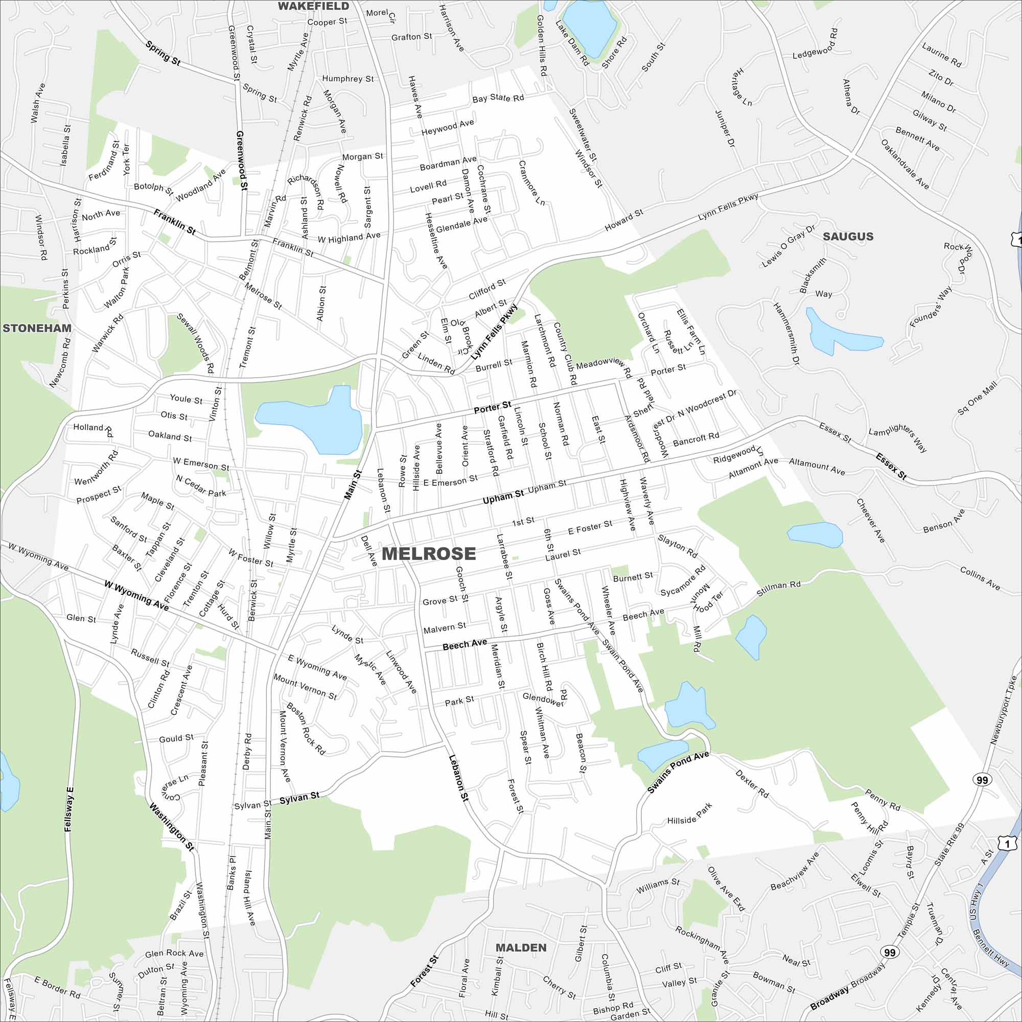
Use our map of Melrose to see its location north of Boston. The city is filled with tree-lined streets and commuter rail links. Its location makes it a classic New England suburb.
Map Information
On the Map
Interstates/Highways: US Hwy 1, State Rte 99 Major Roads: Lynn Fells Pkwy, Main St, Wyoming Ave, Upham St, Howard St, Green St, Lebanon St, West St, Porter St, Essex St, Washington St, Fellway E, Vinton St, Tremont St, Melrose St, Franklin St, Forest St, Grove St, Swain Pond Ave Lakes and Reservoirs: Swains Pond, Ell Pond Nearby Communities: Wakefield, Saugus, Malden, StonehamMassachusetts State Maps
Here’s our state maps of Massachusetts


City Maps of Massachusetts
Explore Boston and other urban areas in Massachusetts


