Map of Medford, Massachusetts
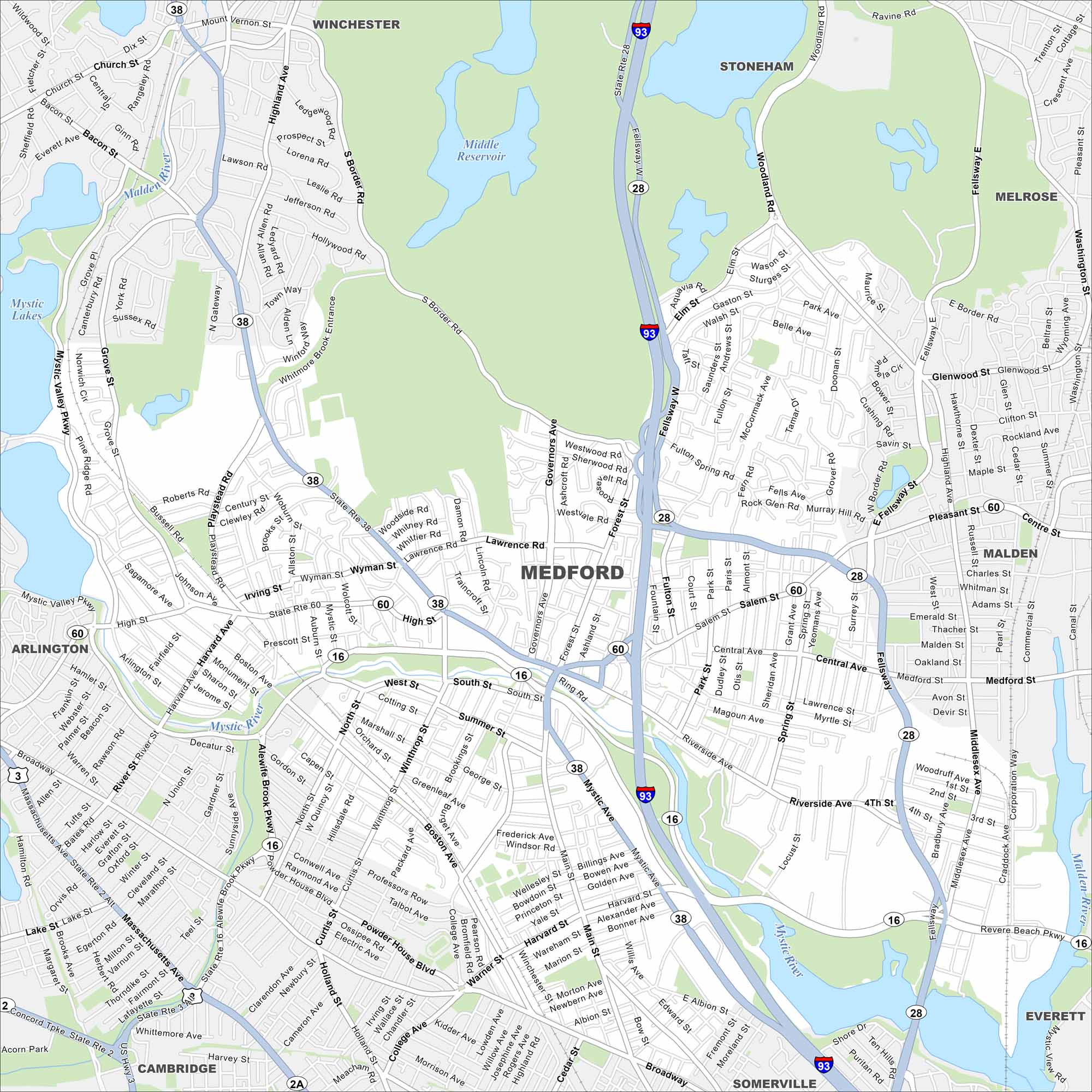
Explore Medford, Massachusetts with our map. This city is situated along the Mystic River. This map includes roads, lakes and rivers. Here, you can find Tufts University with easy access to Boston.
Map Information
On the Map
Interstates/Highways: I-93, State Rte 28, State Rte 60, State Rte 16, State Rte 38 Major Roads: Fellway W, Mystic Valley Pkwy, Salem St, High St, Main St, Central Ave, Riverside Ave, Harvard St, Winthrop St, Playstead Rd, Woburn St, Grove St, Spring St, Fulton St, Forest St, Governors Ave Lakes and Reservoirs: Middle Reservoir, Mystic Lakes Major Rivers: Mystic River, Malden River Nearby Communities: Winchester, Stoneham, Melrose, Malden, Everett, Somerville, Cambridge, ArlingtonMassachusetts State Maps
Here’s our state maps of Massachusetts


City Maps of Massachusetts
Explore Boston and other urban areas in Massachusetts


