Maryland National Parks and Forests Map
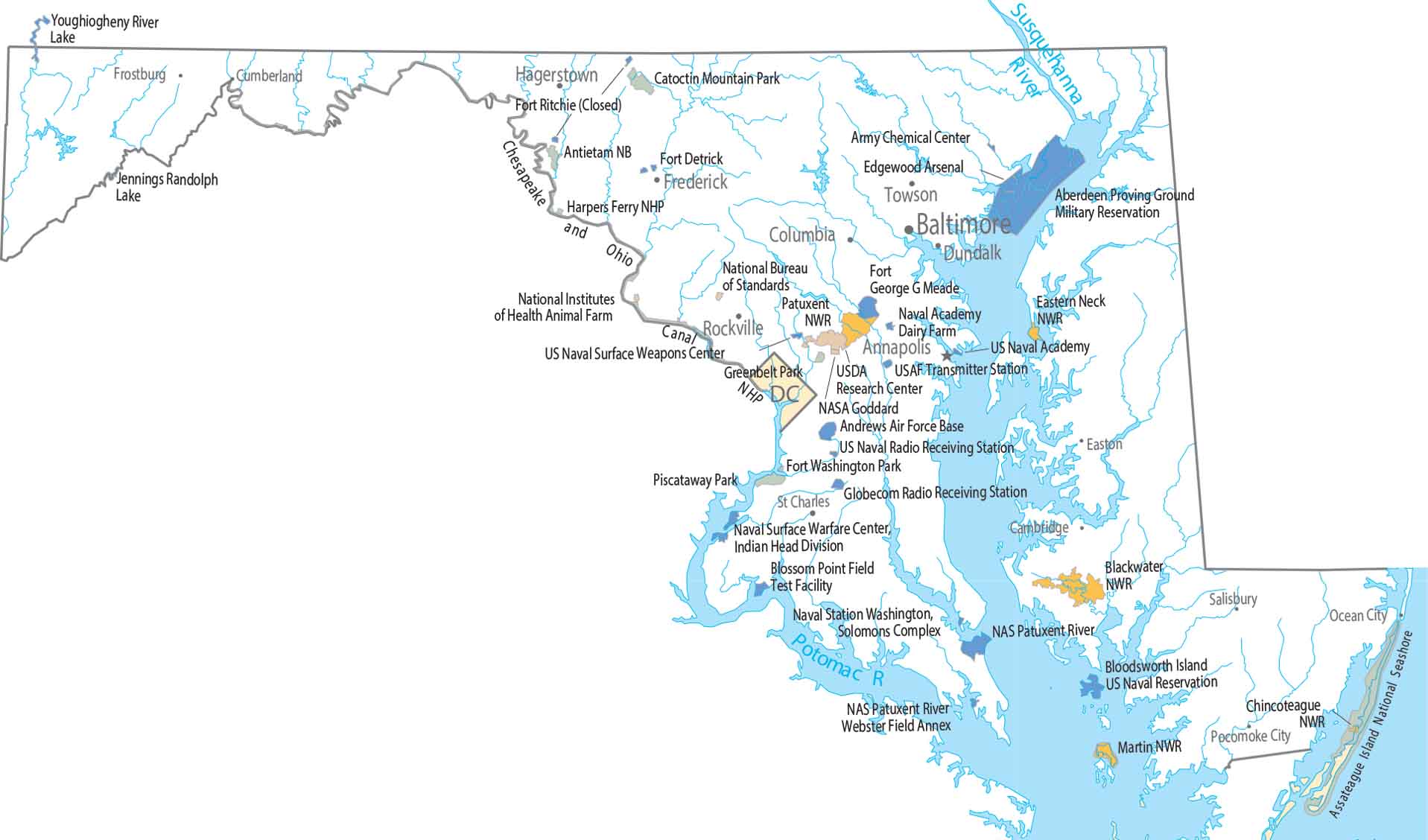
Our map shows federal lands in Maryland. Most open land clings to the western edge, while development presses in from the east. We also include national wildlife refuges and other types of protected land.
Map Information
On the Map
Parks, Forests and Federal Lands
National Seashores and Parks: Assateague Island National Seashore, Fort Washington Park, Greenbelt Park, Piscataway Park National Wildlife Refuges (NWR): Blackwater NWR, Chincoteague NWR, Eastern Neck NWR, Martin NWR, Patuxent NWR Other Landmarks: Chesapeake and Ohio Canal NHP, Harpers Ferry NHP, NASA Goddard, National Bureau of Standards, National Institutes of Health Animal Farm, USDA Research Center Army, Naval and Military: Aberdeen Proving Ground Military Reservation, Andrews Air Force Base, Antietam National Battlefield, Bloodsworth Island US Naval Reservation, Blossom Point Field Test Facility, Catoctin Mountain Park Army Chemical Center, Edgewood Arsenal, Fort Detrick, Fort George G Meade, NAS Patuxent River, Naval Academy Dairy Farm, Naval Air Station Patuxent River, Naval Station Washington, Solomons Complex, Naval Surface Warfare Center, Indian Head Division, US Naval Academy, US Naval Radio Receiving Station, US Naval Surface Weapons Center, USAF Transmitter Station, Webster Field AnnexLand Information
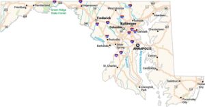
State Capital: Annapolis Major Cities: Baltimore Cities and Towns: Cambridge, Columbia, Cumberland, Dundalk, Easton, Frederick, Frostburg, Hagerstown, Ocean City, Pocomoke City, Rockville, Salisbury, St Charles, Towson Rivers and Streams: Patuxent River, Potomac River, Susquehanna RiverMaryland State Maps
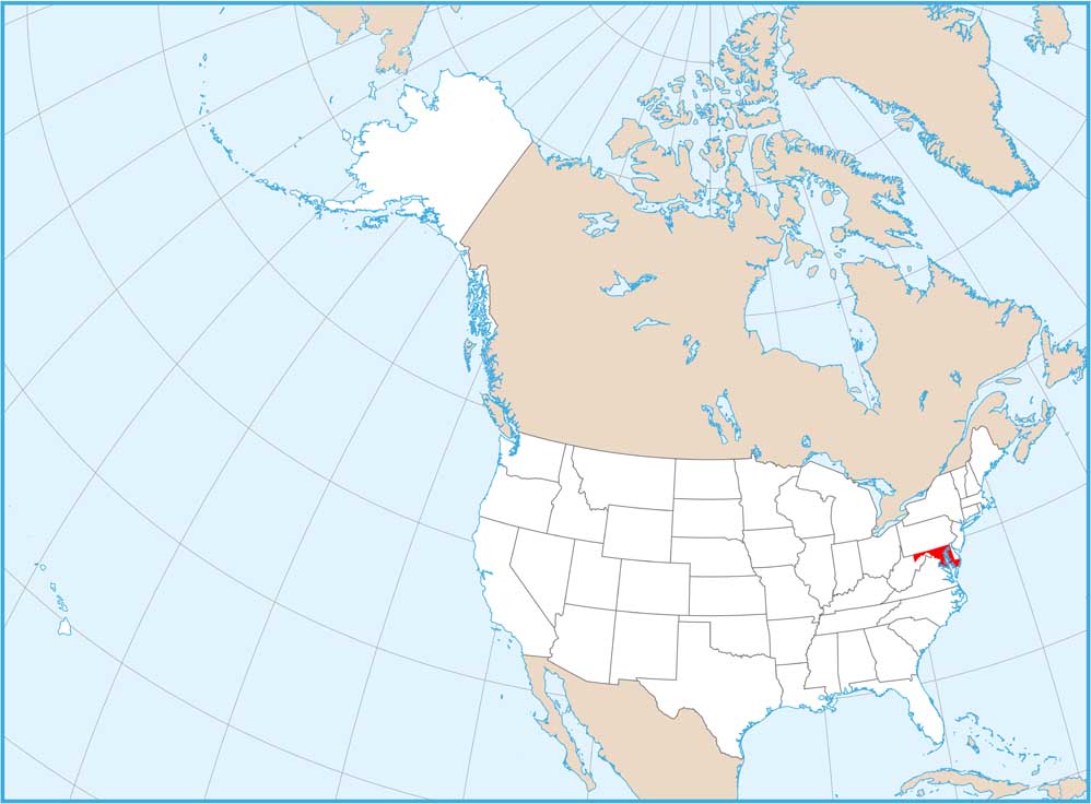
See the geography of Maryland with our state maps