Map of Marshall, Texas
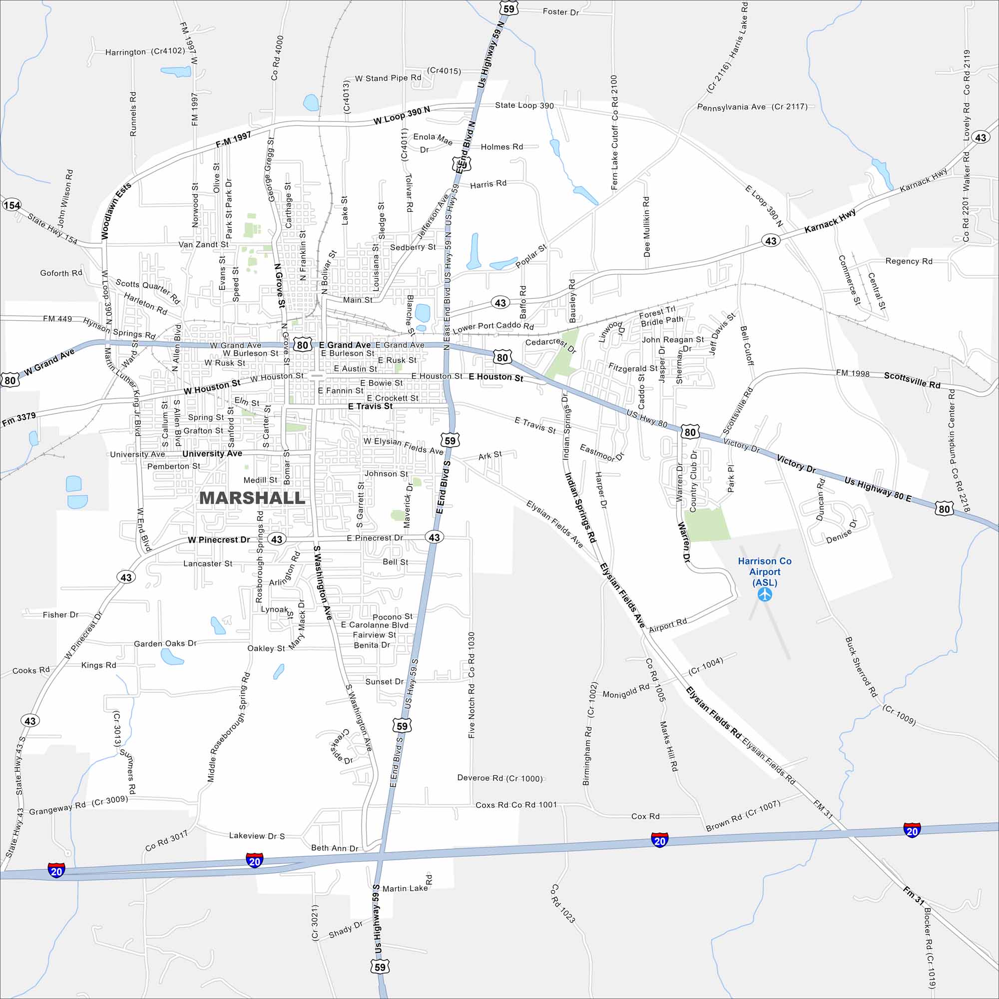
Marshall lies in northeast Texas near the Louisiana border. Our map shows its highways meeting around the downtown grid. Forested land and small lakes surround the city.
Map Information
On the Map
Interstates/Highways: I-20, US Hwy 59, US Hwy 80, State Rte 43, State Rte 154 Major Roads: Grand Ave, Pinecrest Dr, Washington Ave, Houston St, Victory Dr, Elysian Fields Rd, Loop 390, Grove St, Bolivar St, Lafayette St, Travis St, Rusk St, Burleson St, Fannin St, Crockett St, University Ave, Medill St, South St, Sunset Dr, Poplar St Airports: Harrison Co Airport (ASL) Nearby Communities: Marshall City ParkTexas State Maps
Scan our maps of the massive southern state of Texas.


City Maps of Texas
Explore our map collection of Texas cities.


