Map of Clemson, South Carolina
Our map of Clemson shows the city’s streets, highways, and lakefront. Home to Clemson University, it sits on the shores of Lake Hartwell.
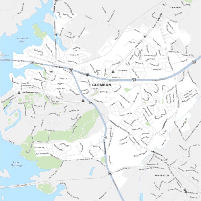
Our map of Clemson shows the city’s streets, highways, and lakefront. Home to Clemson University, it sits on the shores of Lake Hartwell.
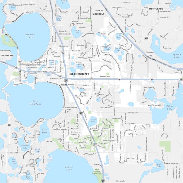
Clermont is mapped with its roads, highways, and nearby lakes. Located west of Orlando, the city is known for its Lake Minneola.
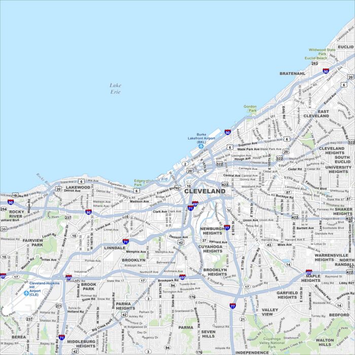
Our map of Cleveland follows the Cuyahoga River as it snakes into Lake Erie. On the south shore of Lake Erie, it has a waterfront setting.
Our map of Cleveland displays its roads, streams, and green areas. It’s nestled in the foothills of the Appalachians.
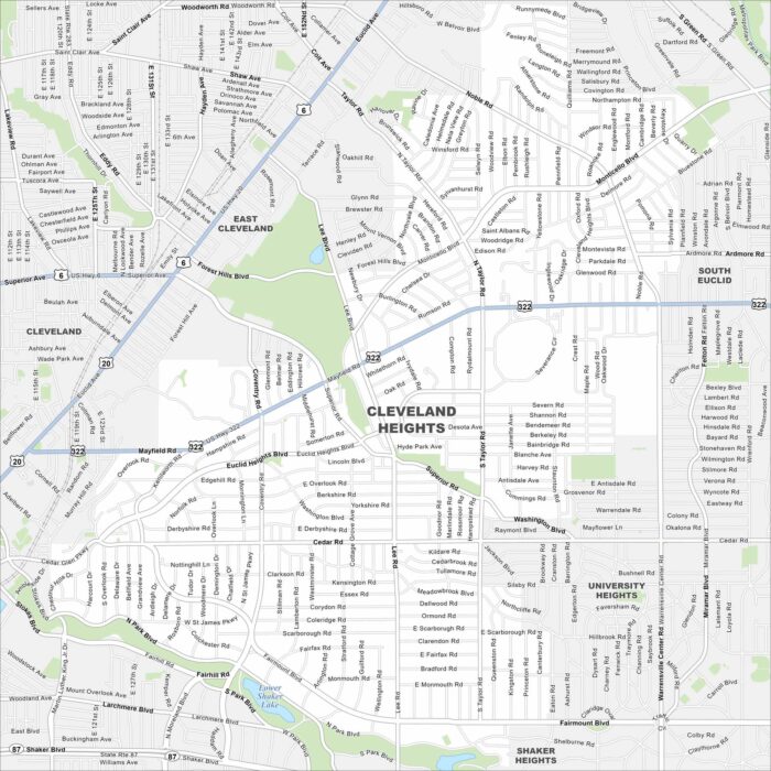
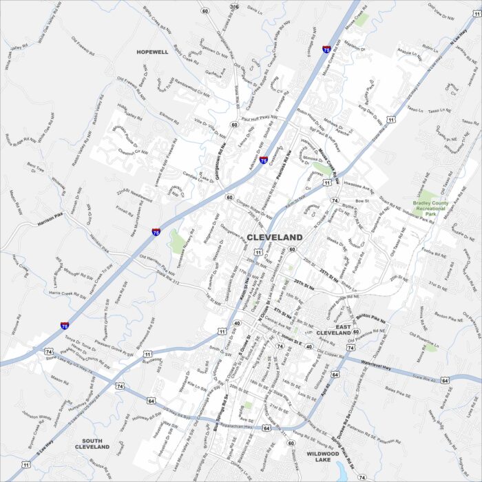
Cleveland Heights spreads east of downtown. Its elevation changes give the city its name. See it on our map of Cleveland Heights.
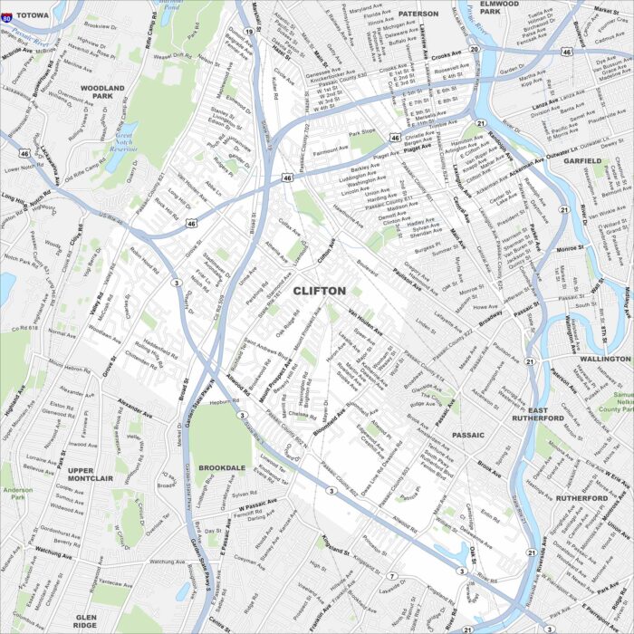
Clifton is shown with its streets, parks, and rivers. It’s just west of New York City and contains both residential areas and industry.
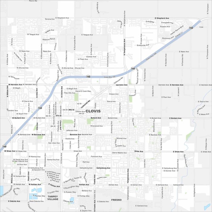
Our map of Clovis stretches from Highway 168 toward the Sierra Nevada foothills. The city is located northeast of Fresno.
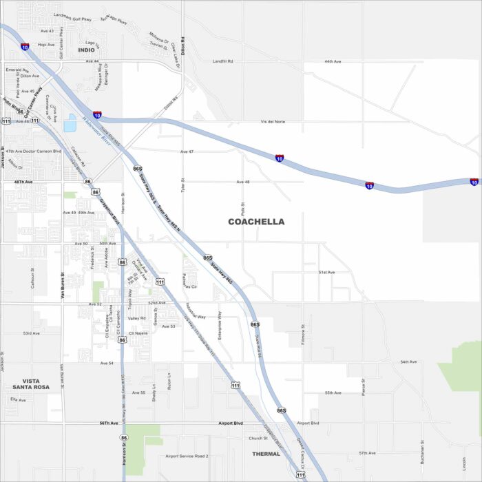
Coachella sits in the flat Coachella Valley with streets running straight across farmland. The city is famous for music festivals.
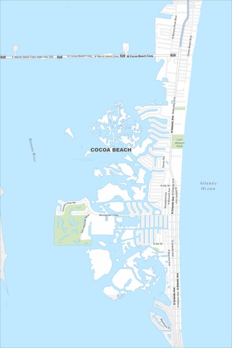
We’ve mapped out Cocoa Beach, which sits along Florida’s Space Coast. The Atlantic shoreline stretches the length of the city.
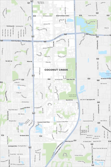
See our map of Coconut Creek with its roads and lakes. It’s north of Fort Lauderdale and called the “Butterfly Capital of the World”.
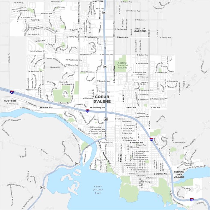
Our map of Coeur d’Alene shows the city’s streets, highways, and lakefront. Nestled in northern Idaho, it’s famous for its namesake lake.
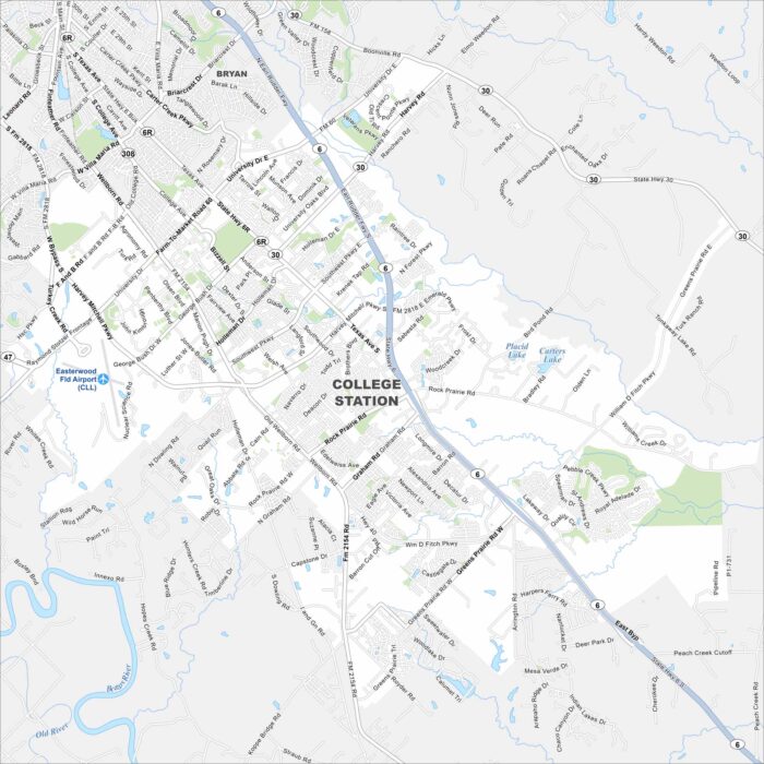
College Station centers on Texas A&M University. The city grew around the campus and spreads across the flat Brazos Valley.
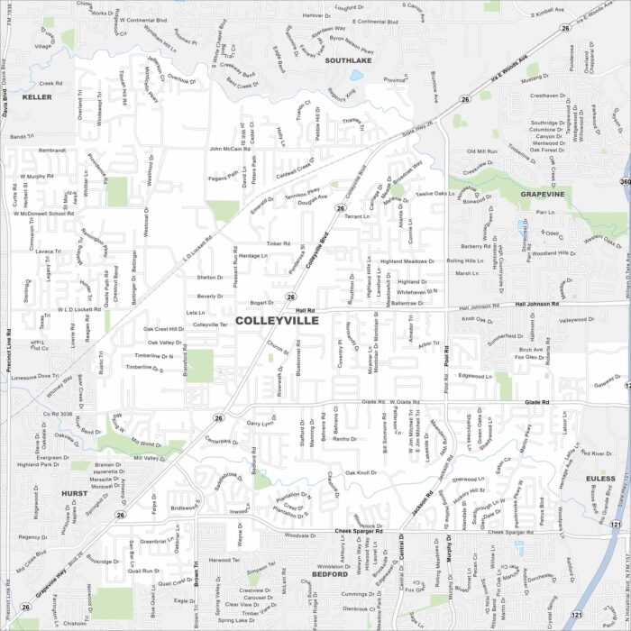
Colleyville is mapped with its streets, highways, and parks. You can find this city between Dallas and Fort Worth with lots of open space.
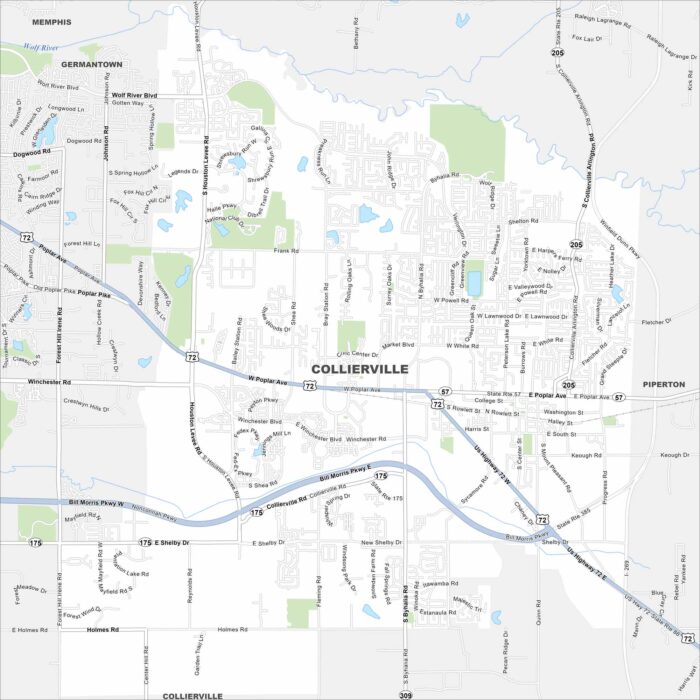
Our map of Collierville highlights its roads, highways, and historic square. It’s located east of Memphis with farmland stretching out.
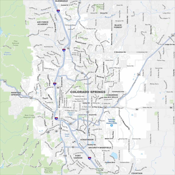
Colorado Springs is situated at the foot of Pikes Peak so the city is surrounded by nice scenery. The Garden of the Gods is west of downtown.