Map of Magnolia, Arkansas
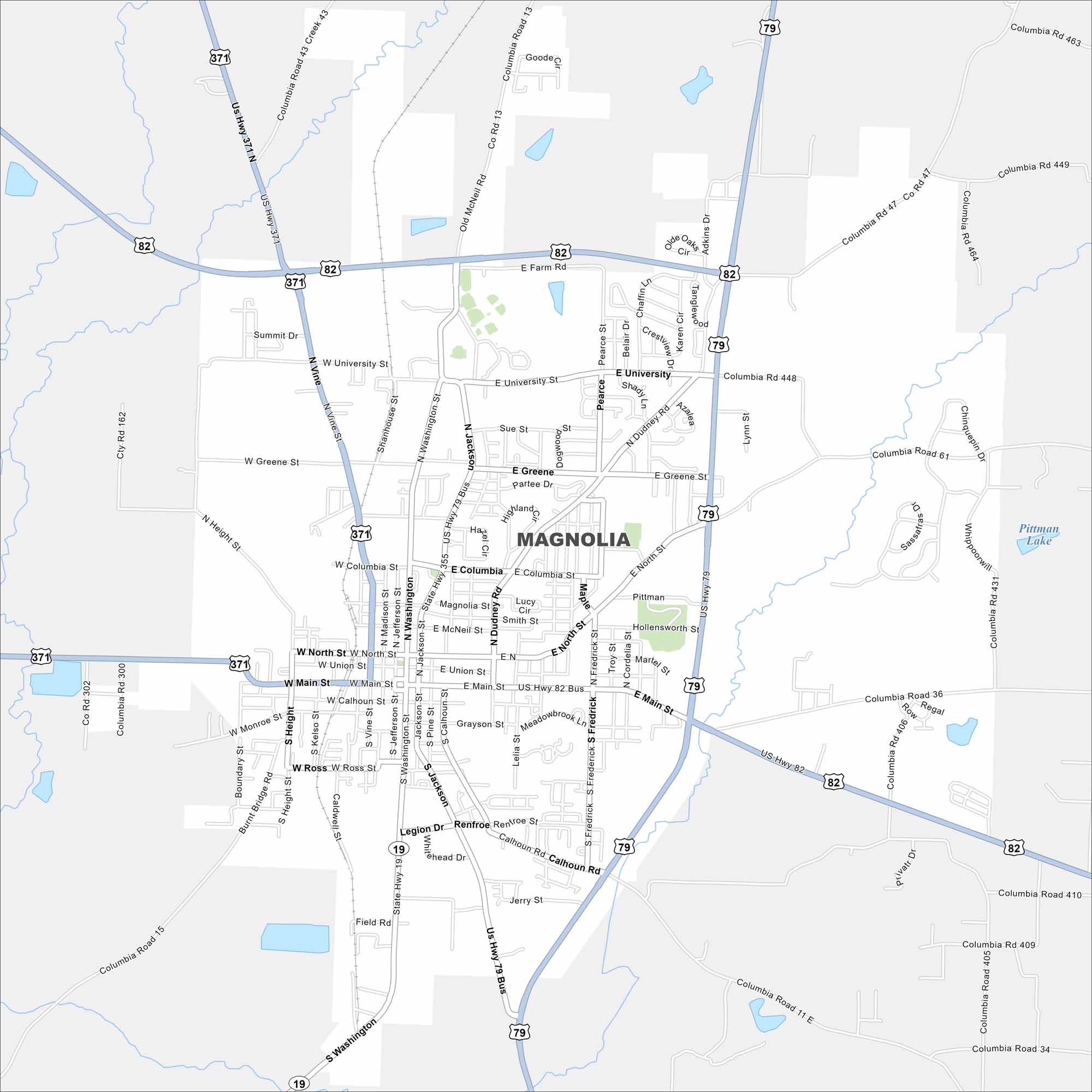
Explore Magnolia, located in southern Arkansas. Our map shows its highways that connect the town to forests and farmland. The city sits near the Louisiana border.
Arkansas State Maps
Check out our Arkansas maps here


Map Information
On the Map
Interstates/Highways: US Hwy 82, US Hwy 79, US Hwy 371, US Hwy 79 Bus, US Hwy 82 Bus, State Hwy 19 Major Roads: Main St, University St, Greene St, Columbia St, North St, Washington St, Jackson St, Dudney Rd, Frederick St, Union St, Calhoun Rd, Ross St, Madison St, Jefferson St, Pine St, Vine St, Smith St, McNeil Rd, Farm Rd, Legion Dr Lakes and Reservoirs: Pittman LakeArkansas City Maps
Discover Arkansas through our city maps


