Map of Lubbock, Texas
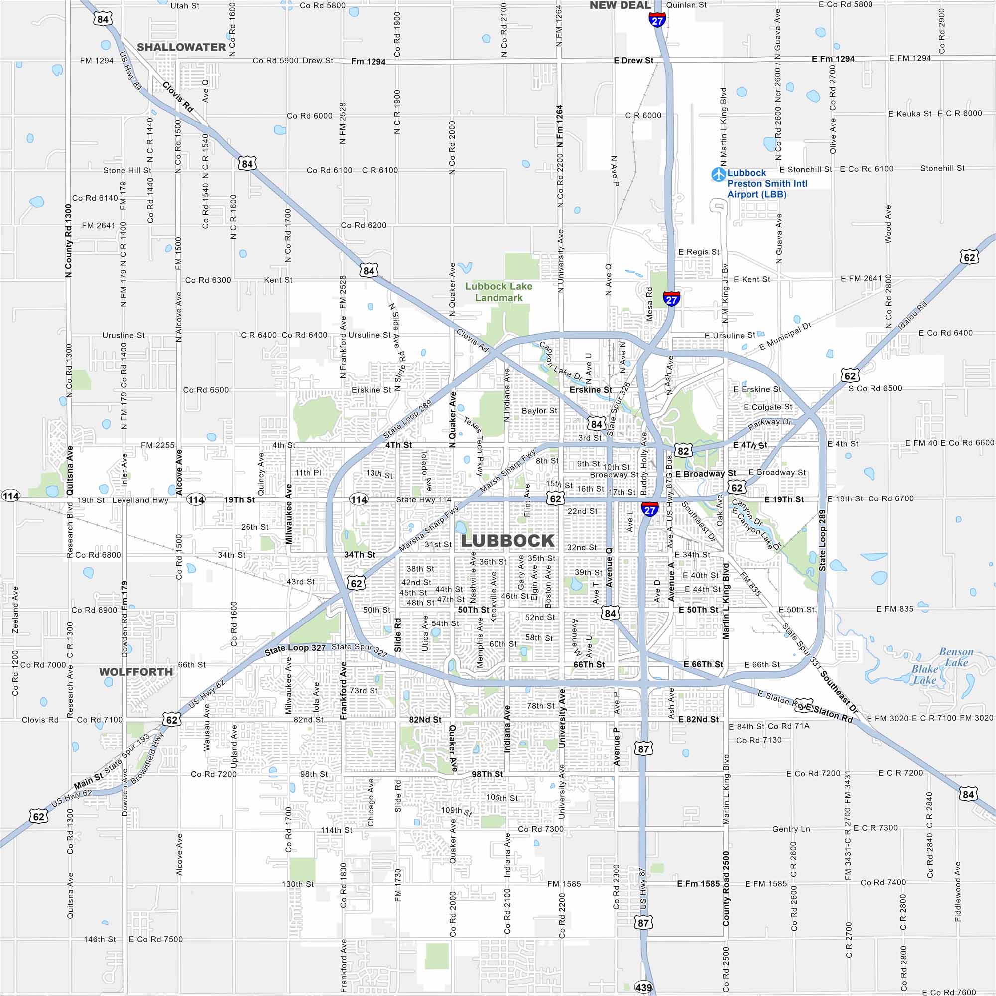
Our map of Lubbock shows highways fanning out across the South Plains. The city sits in northwest Texas cotton country. Its streets form a wide grid with State Loop 289 circling the inner city.
Map Information
On the Map
Interstates/Highways: I-27, US Hwy 84, US Hwy 82, US Hwy 62, US Hwy 114, US Hwy 87, State Loop 289, State Loop 327 Major Roads: Broadway St, Main St, 19th St, 34th St, 50th St, 66th St, 82nd St, 98th St, 114th St, 130th St, University Ave, Indiana Ave, Quaker Ave, Slide Rd, Frankford Ave, Milwaukee Ave, Inler Ave, Alcove Ave, Upland Ave, Research Blvd Airports: Lubbock Preston Smith Intl Airport (LBB) Lakes and Reservoirs: Benson Lake, Blake Lake Nearby Communities: Shallowater, New Deal, WolfforthTexas State Maps
Scan our maps of the massive southern state of Texas.


City Maps of Texas
Explore our map collection of Texas cities.


