Map of Lowell, Massachusetts
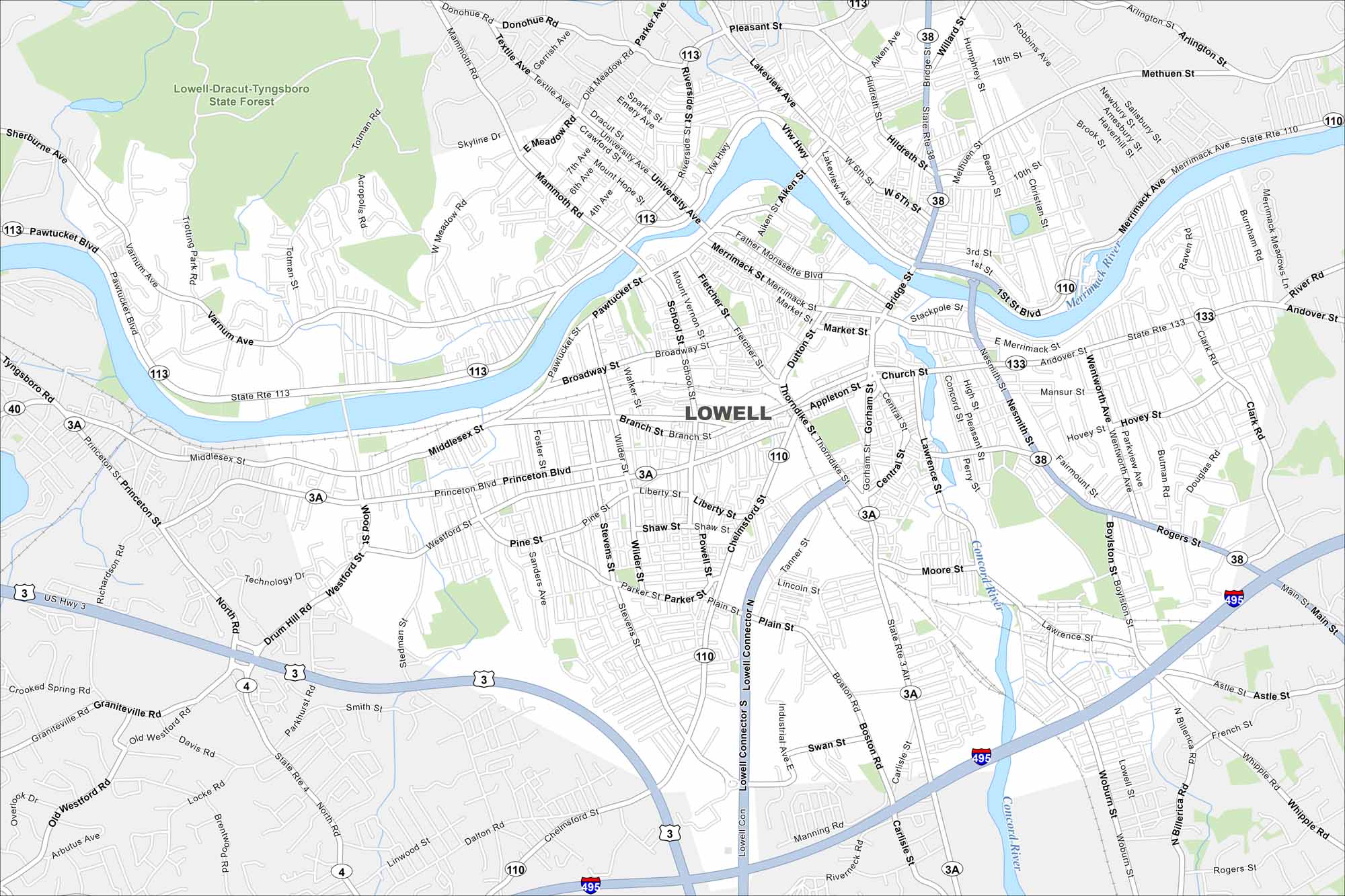
See Lowell on our map where the Merrimack River runs through town. The city’s canals still mark its industrial past. Highways link it into the Boston metro.
Map Information
On the Map
Interstates/Highways: I-495, US Hwy 3, State Rte 110, State Rte 113, State Rte 38, State Rte 133, State Rte 3A, State Rte 4 Major Roads: Middlesex St, Chelmsford St, Rogers St, Gorham St, Thorndike St, Church St, Appleton St, Westford St, Princeton Blvd, Pawtucket Blvd, Mammouth Rd, Varnum Ave, University Ave, Bridge St, Broadway St, Fletcher St, Dutton St, Central St, Lawrence St, Nesmith St Major Rivers: Merrimack River, Concord River Parks and Preserves: Lowell-Dracut-Tyngsboro State Forest Nearby Communities: Methuen TownMassachusetts State Maps
Here’s our state maps of Massachusetts


City Maps of Massachusetts
Explore Boston and other urban areas in Massachusetts


