Louisiana National Parks and Forests Map
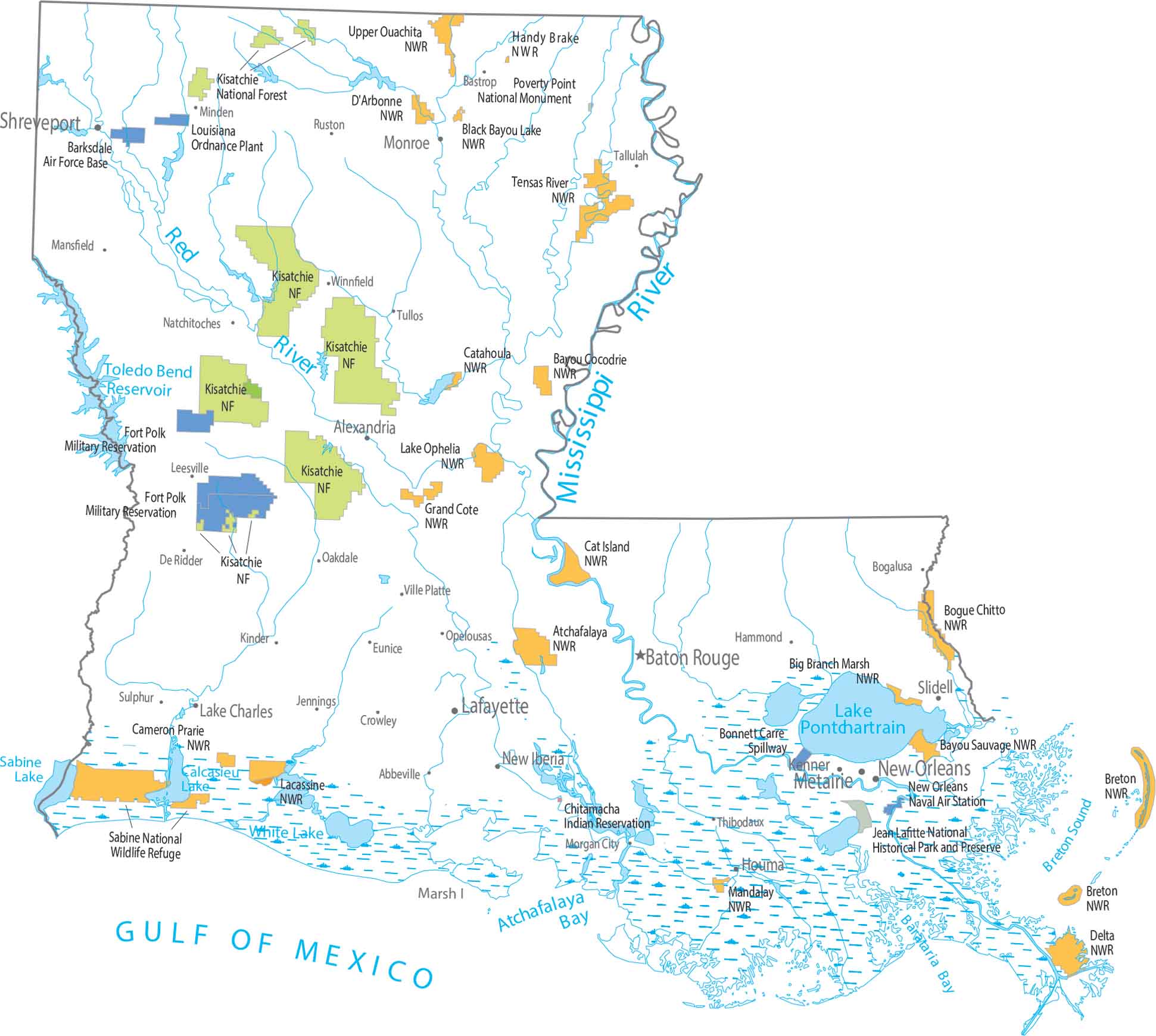
Water shapes nearly every preserved area in the south as wetlands spread wide near the coast. Our map shows Kisatchie National Forest sitting inland, away from the marshes. The contrast is sharp from the coast to up north.
Map Information
On the Map
Parks, Forests and Federal Lands
National Forests: Kisatchie National Forest National Wildlife Refuges (NWR): Atchafalaya NWR, Bayou Cocodrie NWR, Bayou Sauvage NWR, Big Branch Marsh NWR, Black Bayou Lake NWR, Bogue Chitto NWR, Breton NWR, Cameron Prairie NWR, Cameron Prairie NWR, Cat Island NWR, Catahoula NWR, D’Arbonne NWR, Delta NWR, Grand Cote NWR, Handy Brake NWR, Lacassine NWR, Lake Ophelia NWR, Mandalay NWR, Sabine NWR, Tensas River NWR, Upper Ouachita NWR National Monuments: Poverty Point National Monument Other Landmarks: Bonnet Carre Spillway, Jean Lafitte National Historical Park and Preserve Indian Reserves (IR): Chitamacha Indian Reservation Army, Naval and Military: Barksdale Air Force Base, Fort Polk Military Reservation, Louisiana Ordnance Plant Army Ammunition, New Orleans Naval Air StationLand Information
State Capital: Baton Rouge Major Cities: New Orleans, Shreveport Cities and Towns: Abbeville, Alexandria, Bastrop, Bogalusa, Crowley, De Ridder, Eunice, Hammond, Houma, Jennings, Kenner, Kinder, Lafayette, Lake Charles, Leesville, Mansfield, Metairie, Minden, Monroe, Morgan City, Natchitoches, New Iberia, Oakdale, Opelousas, Ruston, Slidell, Sulphur, Tallulah, Thibodaux, Tullos, Ville Platte, Winnfield Lakes and Reservoirs: Bayou D’Arbonne Lake, Calcasieu Lake, Catahoula Lake, Grand Lake, Lake Maurepas, Lake Pontchartrain, Toledo Bend Reservoir, White Lake Rivers and Streams: Mississippi River, Red RiverLouisiana State Maps
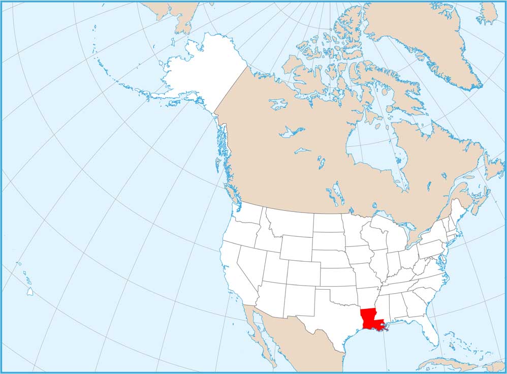
Here are maps showcasing the state of Louisiana


