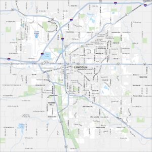
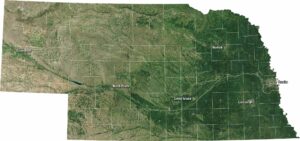
Map of Lincoln, Nebraska
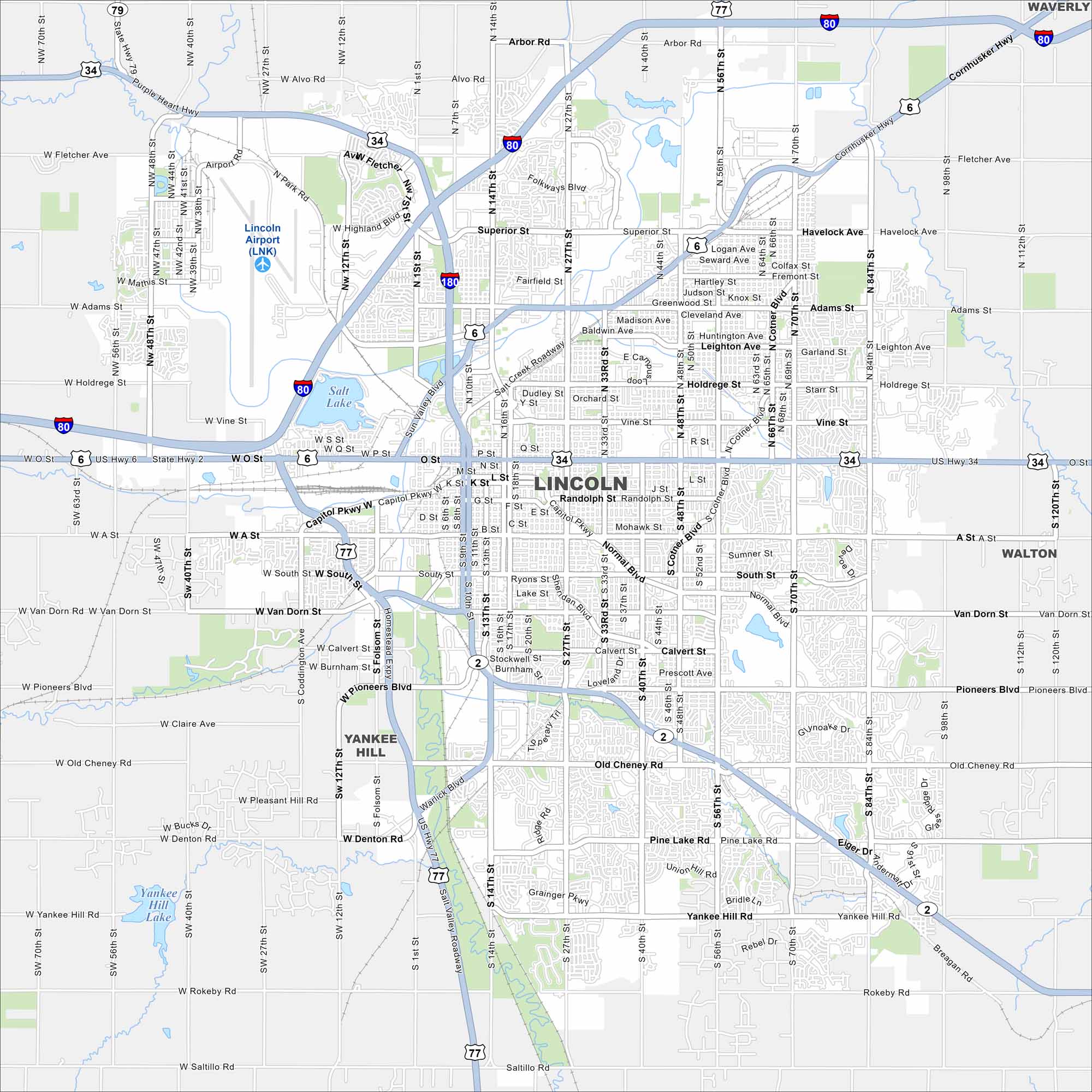
Here’s our map of Lincoln rising from the plains of eastern Nebraska. The state capitol dome anchors the downtown region. Surrounding the city, farmland stretches in every direction.
Map Information
On the Map
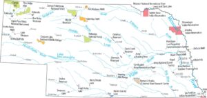
Interstates/Highways: I-80, I-180, US Hwy 77, US Hwy 34, US Hwy 6, State Rte 2 Major Roads: 27th St, 48th St, 70th St, 84th St, 14th St, 10th St, 9th St, O St, Cornhusker Hwy, Capitol Pkwy, Van Dorn St, Pioneers Blvd, Old Cheney Rd, Pine Lake Rd, Yankee Hill Rd, Rokeby Rd, Saltillo Rd, Superior St, Holdrege St, A St Airports: Lincoln Airport (LNK) Lakes and Reservoirs: Salt Lake, Yankee Hill Lake Nearby Communities: Waverly, Walton, Yankee HillNebraska State Maps
Examine maps showing prairies and cities in Nebraska.


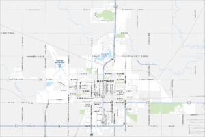
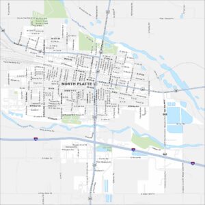
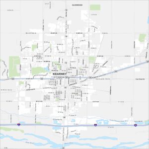
City Maps of Nebraska
Nebraska city maps are here