Map of League City, Texas
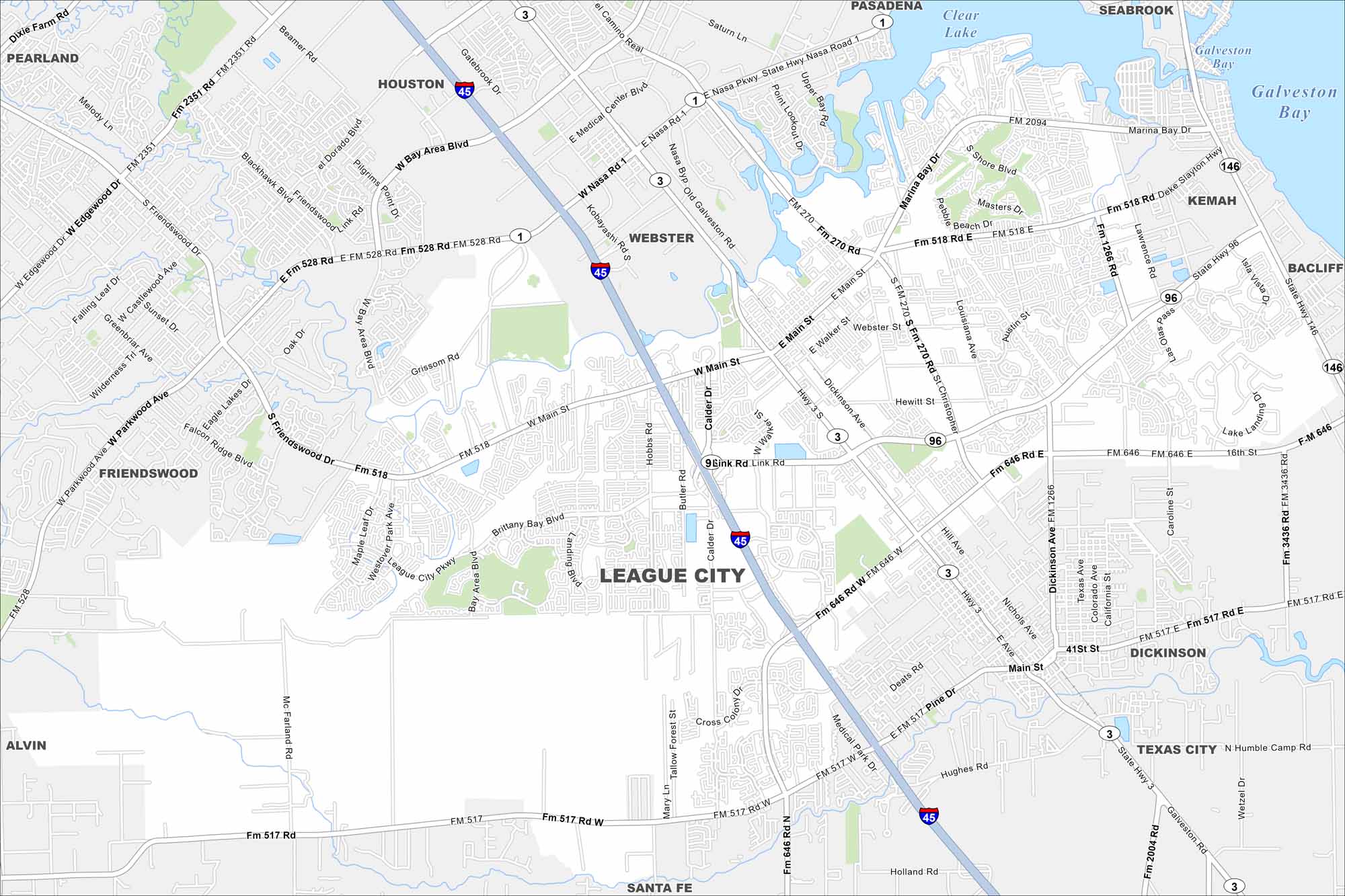
Our map of League City shows it stretched between Clear Lake and Galveston Bay. Waterways wind through its neighborhoods. The city has coastal living with fast growth.
Map Information
On the Map
Interstates/Highways: I-45, State Rte 3, State Rte 146, State Rte 96, State Rte 270, State Rte 2094, State Rte 518, State Rte 517, State Rte 646, State Rte 528 Major Roads: Main St, NASA Pkwy, Marina Bay Dr, League City Pkwy, Calder Rd, Link Rd, Hobbs Rd, Butler Rd, Egret Bay Blvd, Medical Center Blvd, Abilene St, Austin St, Louisiana St, Pebble Beach Dr, Masters Dr, South Shore Blvd, Enterprise Ave, Landing Blvd, Westover Park Ave, Brittany Bay Blvd Lakes and Reservoirs: Clear Lake, Galveston Bay Nearby Communities: Houston, Webster, Pasadena, Seabrook, Kemah, Bacliff, Dickinson, Texas City, Santa Fe, Alvin, Friendswood, PearlandTexas State Maps
Scan our maps of the massive southern state of Texas.


City Maps of Texas
Explore our map collection of Texas cities.


