Map of Lawrence, Massachusetts
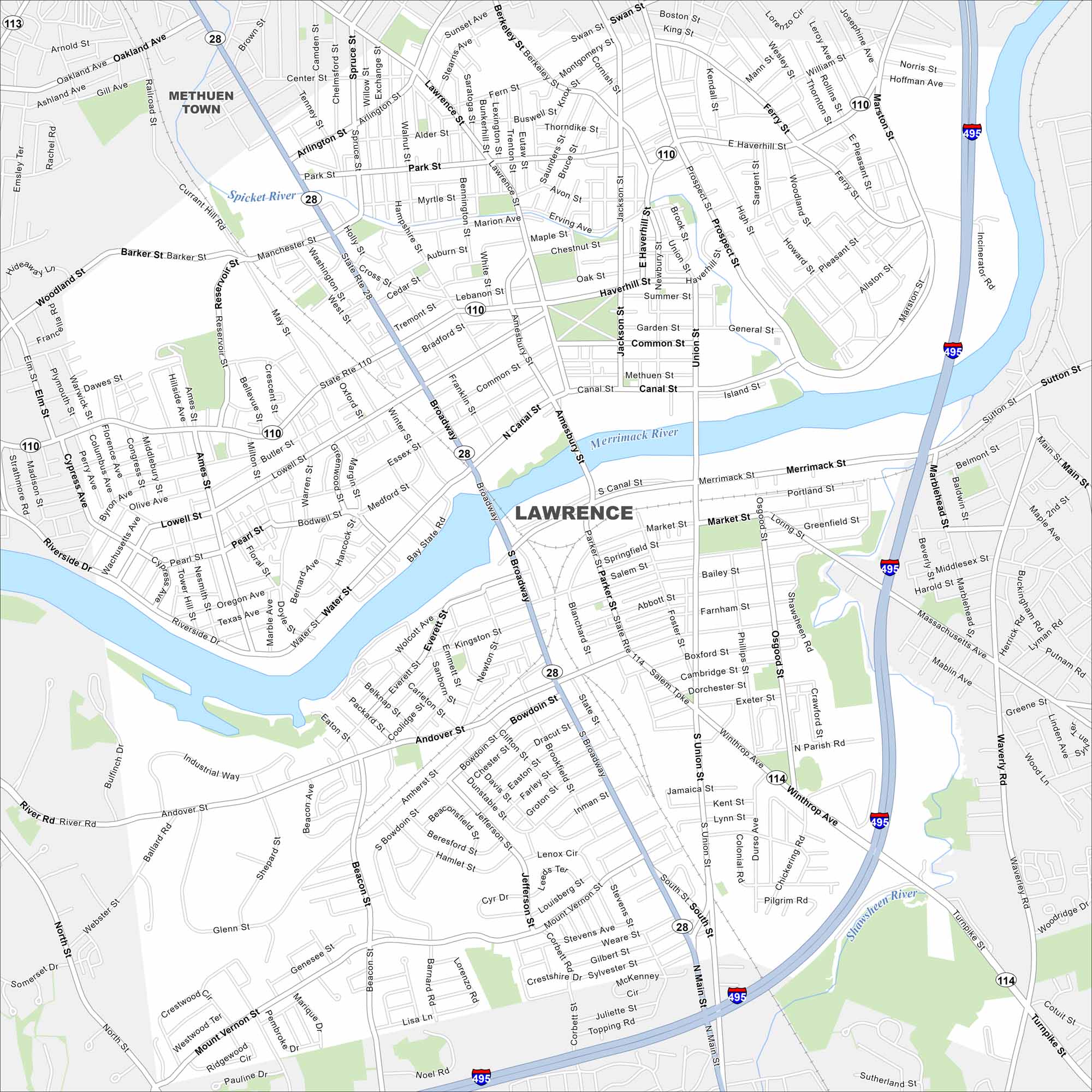
Lawrence sits on the Merrimack River in northeast Massachusetts. This map shows its mill buildings and tight urban road network. Bridges cross into neighboring communities.
Map Information
On the Map
Interstates/Highways: I-495, State Rte 114, State Rte 110, State Rte 28 Major Roads: Broadway, Winthrop Ave, Merrimack St, Common St, Haverhill St, Essex St, Prospect St, Marston St, Andover St, Salem St, S Union St, Parker St, Mount Vernon St, Water St, Canal St, Riverside Dr, Amesbury St, Jackson St, Lawrence St, Lowell St Major Rivers: Merrimack River, Spicket River, Shawsheen River Nearby Communities: Methuen TownMassachusetts State Maps
Here’s our state maps of Massachusetts


City Maps of Massachusetts
Explore Boston and other urban areas in Massachusetts


