Map of Laurel, Maryland
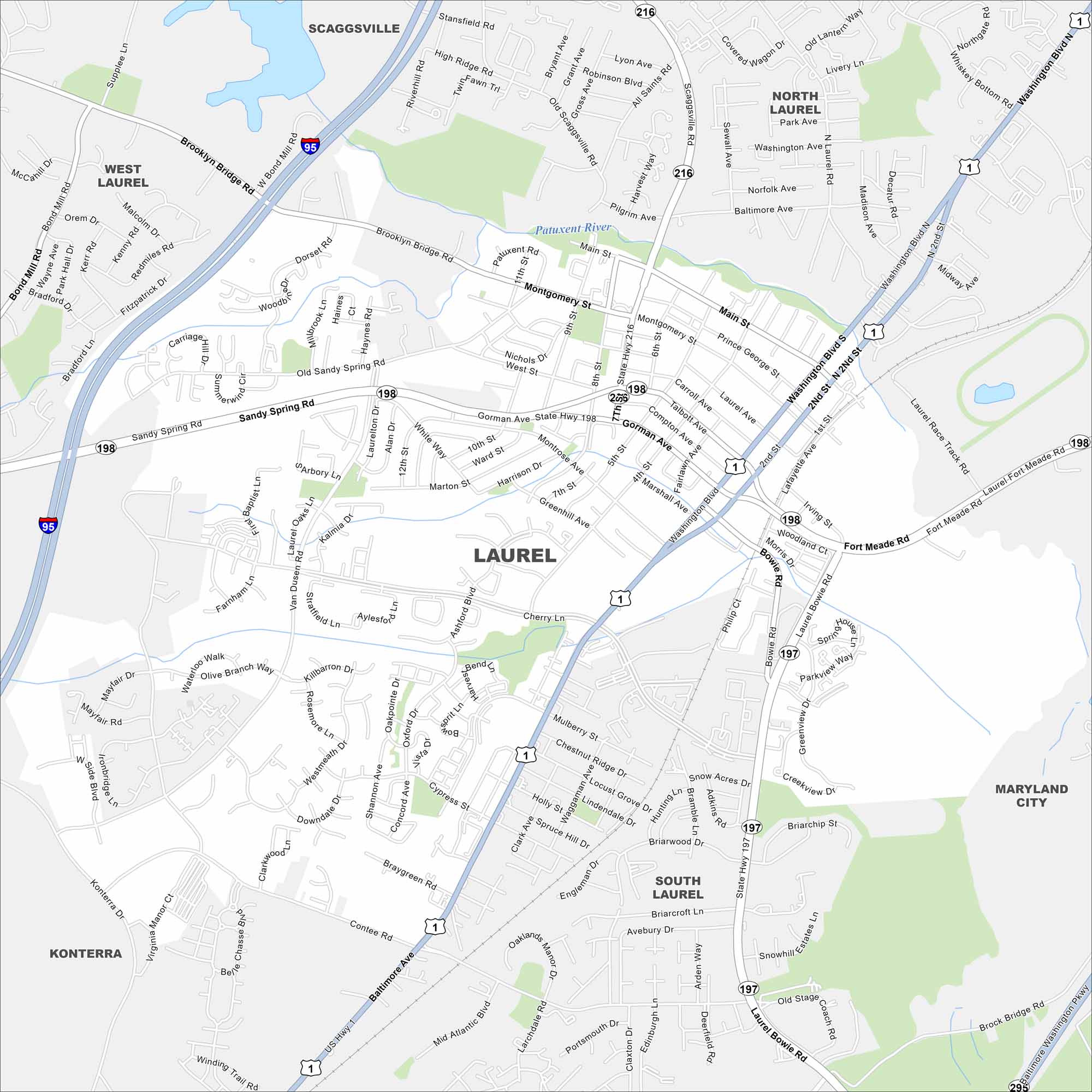
Laurel lies between Washington, D.C. and Baltimore. Our map highlights the Patuxent River running along its edge. Rail lines and highways keep it well connected.
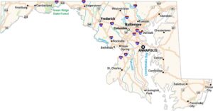
Maryland State Maps
See the geography of Maryland with our state maps


Map Information
On the Map
Interstates/Highways: I-95, US Hwy 1, State Hwy 197, State Hwy 198, State Hwy 216 Major Roads: Baltimore Ave, Washington Blvd, Fort Meade Rd, Laurel Bowie Rd, Gorman Ave, Sandy Spring Rd, Contee Rd, Montgomery St, Main St, Prince George St, Cherry Ln, Van Dusen Rd, Old Sandy Spring Rd, Brooklyn Bridge Rd, Scaggsville Rd, All Saints Rd, Mulberry St, Cypress St, Larchdale Rd, Mid Atlantic Blvd Major Rivers: Patuxent River Nearby Communities: Scaggsville, North Laurel, South Laurel, West Laurel, Konterra, Maryland CityCity Maps of Maryland
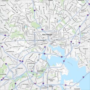
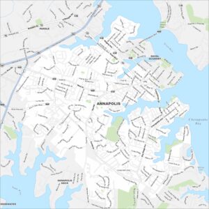
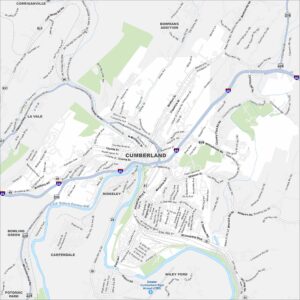
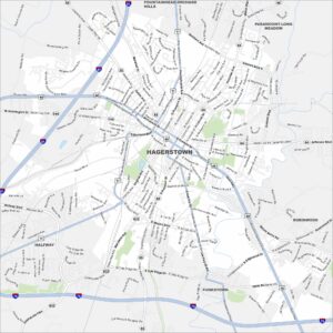
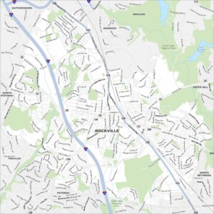
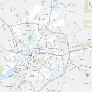
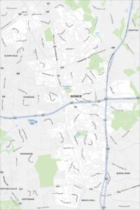
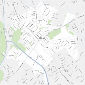
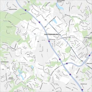
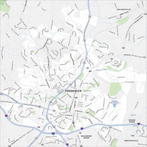
Here are our city maps of Maryland