Map of Kyle, Texas
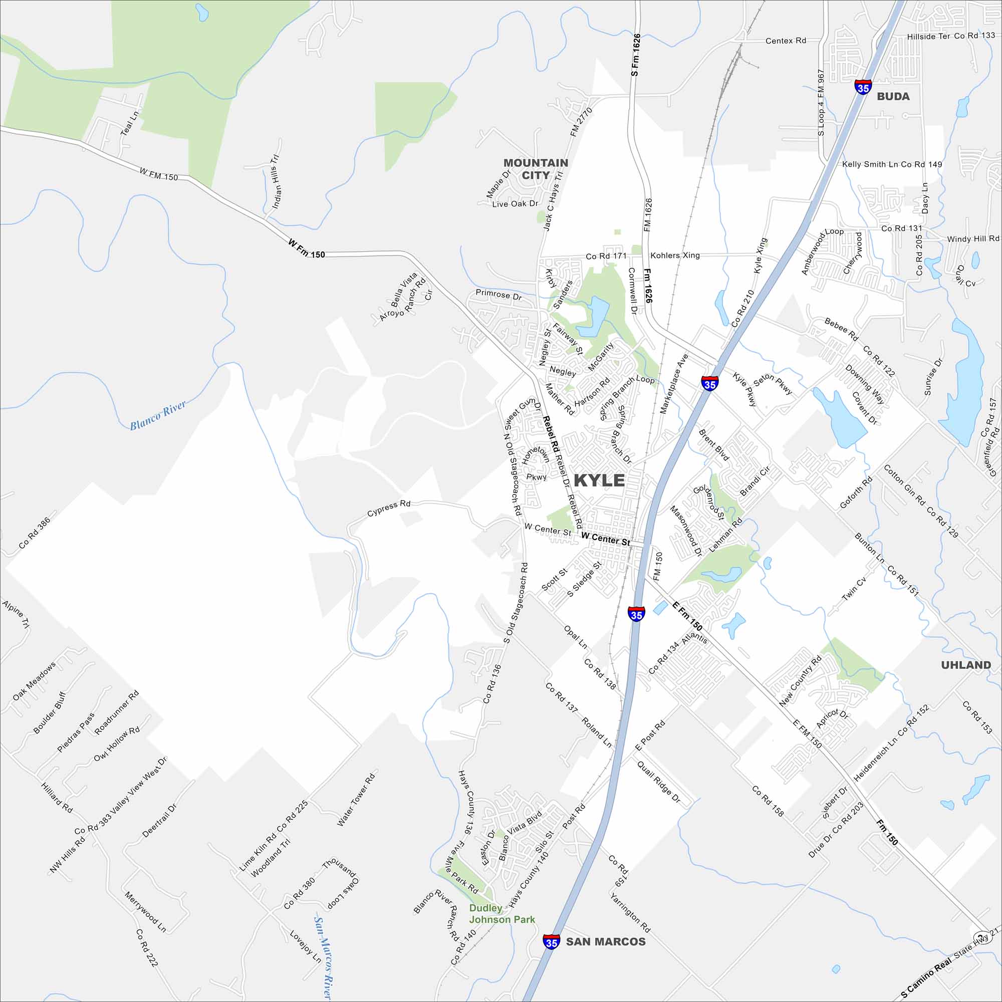
Kyle, Texas is just south of Austin. Our map shows the Blanco River running nearby. Residential neighborhoods stretch across the flat Texas landscape.
Map Information
On the Map
Interstates/Highways: I-35 Major Roads: Center St, Rebel Rd, Kohlers Xing, Marketplace Ave, Lehman Rd, Goforth Rd, Bunton Ln, Post Rd, Roland Ln, Yarrington Rd, Bebee Rd, Windy Hill Rd, Dacy Ln, Cherrywood Loop, Amberwood Loop, Seton Pkwy, Brent Blvd, Masonwood Dr, Philomena Dr, Brandi Cir Major Rivers: Blanco River, San Marcos River Parks and Preserves: Dudley Johnson Park Nearby Communities: Mountain City, Buda, Uhland, San MarcosTexas State Maps
Scan our maps of the massive southern state of Texas.


City Maps of Texas
Explore our map collection of Texas cities.


