Kentucky National Parks and Forests Map
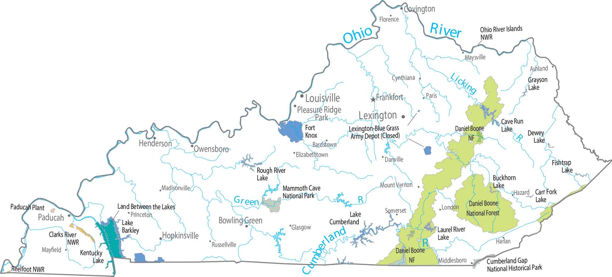
The eastern third of the state looks rougher and darker on the map. Forests fill narrow ridges and deep valleys. Our map highlights Daniel Boone National Forest threading through that terrain. The west opens up quickly without much for federal land.
Map Information
On the Map
Parks, Forests and Federal Lands
National Parks (NP): Mammoth Cave National Park National Forests (NF): Daniel Boone National Forest, Jefferson National Forest National Wildlife Refuges (NWR): Clarks River NWR, Ohio River Islands NWR, Reelfoot NWR, Reelfoot NWR National Recreation Areas (NRA): Big South Fork National River and Recreation Area Other Federal Lands: Cumberland Gap National Historical Park, Lexington-Blue Grass Army, Naval and Military: Fort Campbell, Fort KnoxLand Information
State Capital: Frankfort Major Cities: Bowling Green, Lexington, Louisville Cities and Towns: Ashland, Bardstown, Covington, Cynthiana, Danville, Elizabethtown, Florence, Glasgow, Harlan, Hazard, Henderson, London, Madisonville, Maysville, Middlesboro, Mount Vernon, Owensboro, Paducah, Paris, Princeton, Radcliff, Richmond, Russellville, Somerset Lakes and Reservoirs: Buckhorn Lake, Cave Run Lake, Dale Hollow Reservoir, Dewey Lake, Fishtrap Lake, Grayson Lake, Kentucky Lake, Lake Barkley, Lake Carr, Lake Cumberland, Land Between the Lakes, Laurel River, Licking River, Martin’s Fork Lake, Rough River Lake Rivers and Streams: Cumberland River, Green River, Kentucky River, Licking River, Ohio River, Tennessee RiverKentucky State Maps
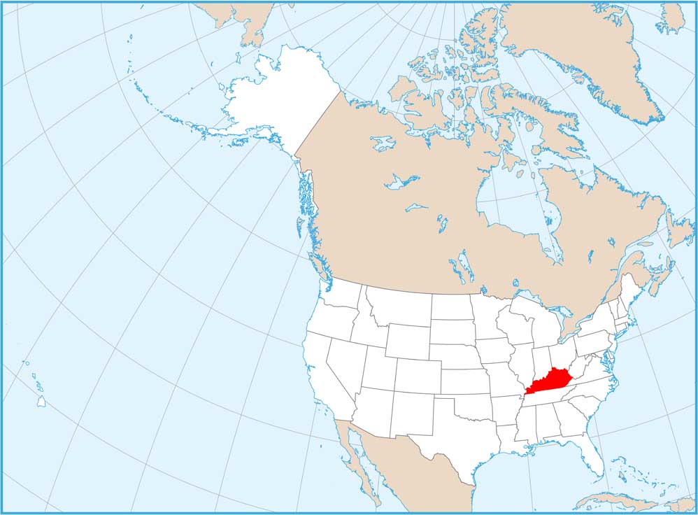
Our Kentucky maps reveal the Bluegrass State


