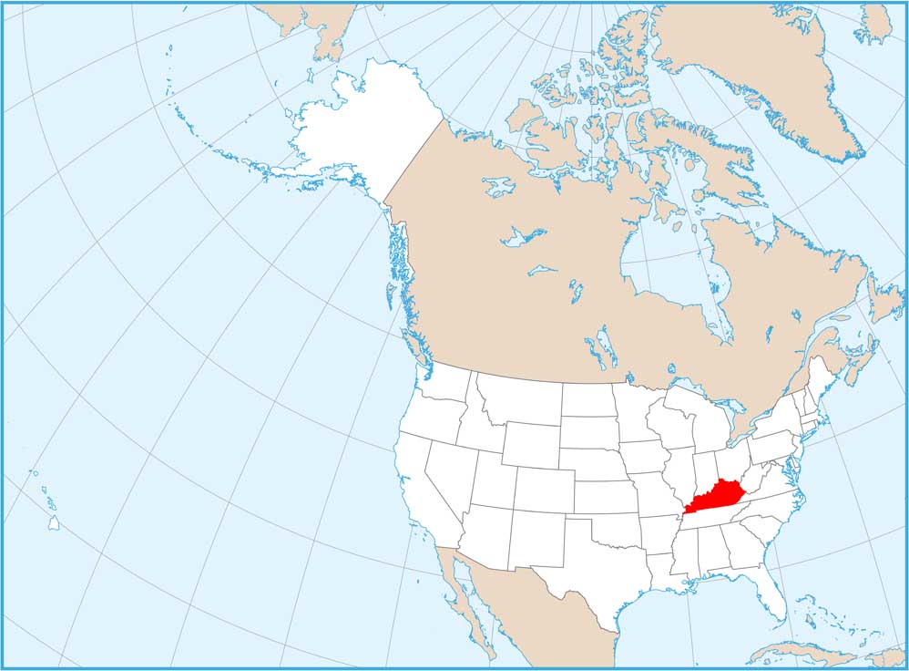
Home » State Maps » Map of Kentucky

Map of Kentucky

Kentucky Map

Our Kentucky map shows its rivers, forests, and stretches of highways. From Louisville to Lexington, you can find the Ohio River along the western border. Highways go deep into the Bluegrass on our Kentucky map.

Map Information

  • State of Kentucky
  • Road Map of Kentucky
  • Free for personal and commercial purpose. Attribution is required. How to attribute?

On the Map

Kentucky Location Map
State Capital: Frankfort Major Cities: Lexington, Louisville Cities and Towns: Ashland, Bardstown, Berea, Bowling Green, Campbellsville, Corbin, Covington, Cynthiana, Danville, Elizabethtown, Florence, Fulton, Glasgow, Harlan, Hazard, Henderson, Hopkinsville, Independence, Jackson, Jenkins, La Grange, Lebanon, Leitchfield, London, Madisonville, Marion, Maysville, Middlesborough, Morehead, Mount Sterling, Mount Vernon, Owensboro, Paducah, Paris, Pikeville, Pleasure Ridge Park, Princeton, Radcliff, Richmond, Russellville, Scottsville, Somerset Interstate Highways: I-24, I-64, I-65, I-71, I-75, I-265 US Routes: US-23, US-25, US-27, US-31, US-41, US-41A, US-42, US-45, US-51, US-52, US-60, US-62, US-68, US-79, US-119, US-127, US-150, US-231, US-421, US-431, US-460 Lakes and Reservoirs: Cave Run Lake, Dale Hollow Reservoir, Kentucky Lake, Lake Barkley, Lake Cumberland Rivers and Streams: Cumberland River, Green River, Kentucky River, Licking River, Ohio River, Tennessee River National Parks and Forests: Daniel Boone National Forest, Jefferson National Forest, Mammoth Cave National Park

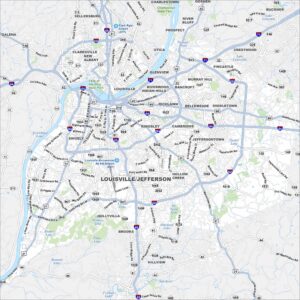
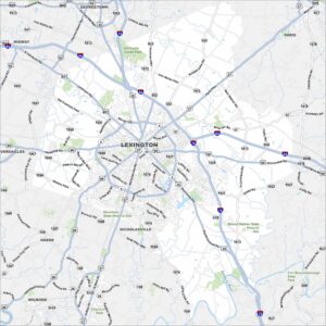
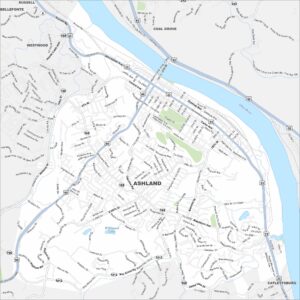
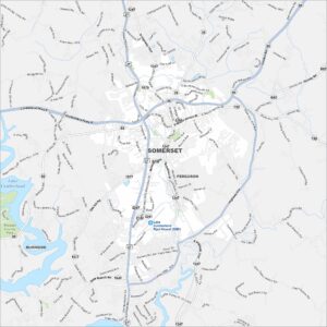
City Maps of Kentucky

Here are Kentucky’s cities in full detail

References

  1. Government Website of Kentucky
  2. Kentucky in Google Maps

Leave a Reply

Your email address will not be published. Required fields are marked *