Map of Keller, Texas
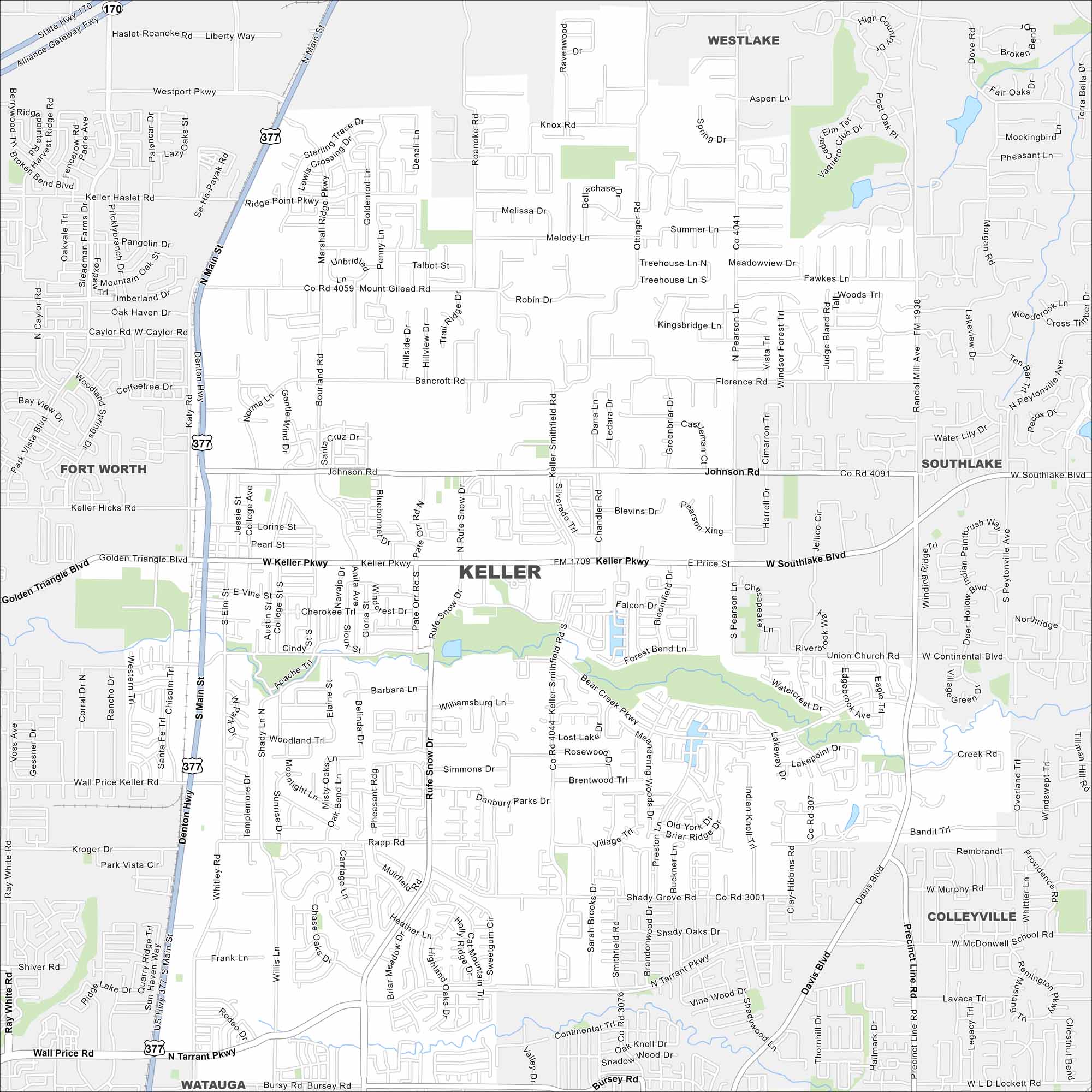
Keller sits in the Dallas-Fort Worth area. Our map shows residential streets spreading across rolling land. Roads tie it closely to Fort Worth.
Map Information
On the Map
Interstates/Highways: US Hwy 377, State Hwy 170 Major Roads: Keller Pkwy, Main St, Ridge Point Pkwy, Mount Gilead Rd, Johnson Rd, Rufe Snow Dr, Keller Smithfield Rd, Pearson Ln, Bourland Rd, Whitley Rd, Rapp Rd, Shady Grove Rd, Continental Blvd, Ottinger Rd, Bancroft Rd, Willis Ln, Ray White Rd, Golden Triangle Blvd, Ridge Rd, Davis Blvd Nearby Communities: Westlake, Southlake, Colleyville, Watauga, Fort WorthTexas State Maps
Scan our maps of the massive southern state of Texas.


City Maps of Texas
Explore our map collection of Texas cities.


