Map of Katy, Texas
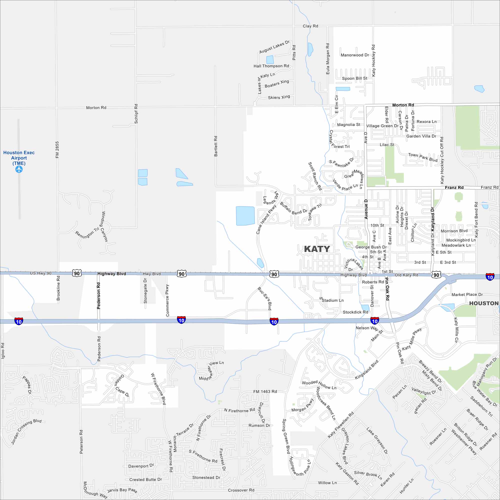
Katy is just west of Houston. Our map shows new subdivisions spreading quickly across former farmland. Interstate 10 runs straight through the city with US Highway 90 running parallel.
Map Information
On the Map
Interstates/Highways: I-10, US Hwy 90 Major Roads: Highway Blvd, Katy Mills Cir, Katy Fort Bend Rd, Pin Oak Rd, Kingsland Blvd, Avenue D, Franz Rd, Morton Rd, Cane Island Pkwy, Westheimer Pkwy, Roesner Rd, Greenbusch Rd, Spring Green Blvd, Falcon Landing Blvd, Gaston Rd, Pederson Rd, Igloo Rd, Brookline Rd, Schlipf Rd, Bartlett Rd Airports: Houston Exec Airport (TME) Nearby Communities: HoustonTexas State Maps
Scan our maps of the massive southern state of Texas.


City Maps of Texas
Explore our map collection of Texas cities.


