Map of Johnston, Iowa
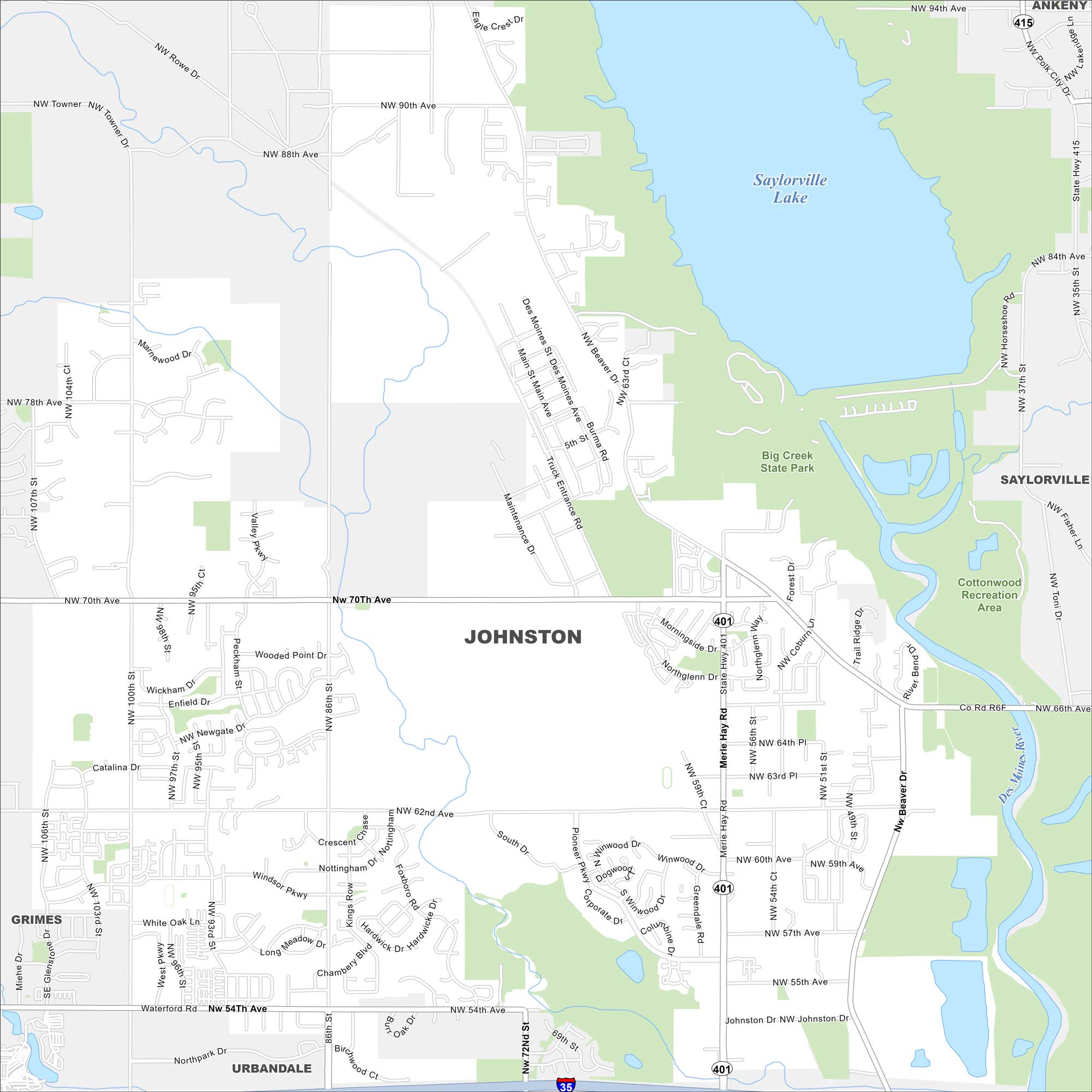
Johnston is a northern suburb of Des Moines. Our map highlights Saylorville Lake and the Des Moines River nearby. Subdivisions and green space fill much of the area.


Map Information
On the Map
Interstates/Highways: I-35, State Rte 401, State Rte 415 Major Roads: Merle Hay Rd, Beaver Dr, 86th St, 70th Ave, 62nd Ave, 54th Ave, NW 100th St, NW 86th St, NW 70th Ave, NW 62nd Ave, NW 54th Ave, Morningside Dr, Winwood Dr, Pioneer Pkwy, Corporate Dr, Windsor Pkwy, NW 64th Pl, NW 59th Ct, 100th St, 86th St Lakes and Reservoirs: Saylorville Lake Major Rivers: Des Moines River Parks and Preserves: Big Creek State Park, Cottonwood Recreation Area Nearby Communities: Saylorville, Ankeny, Urbandale, GrimesIowa City Maps
Browse city maps in the state of Iowa


