Map of Huntington, West Virginia
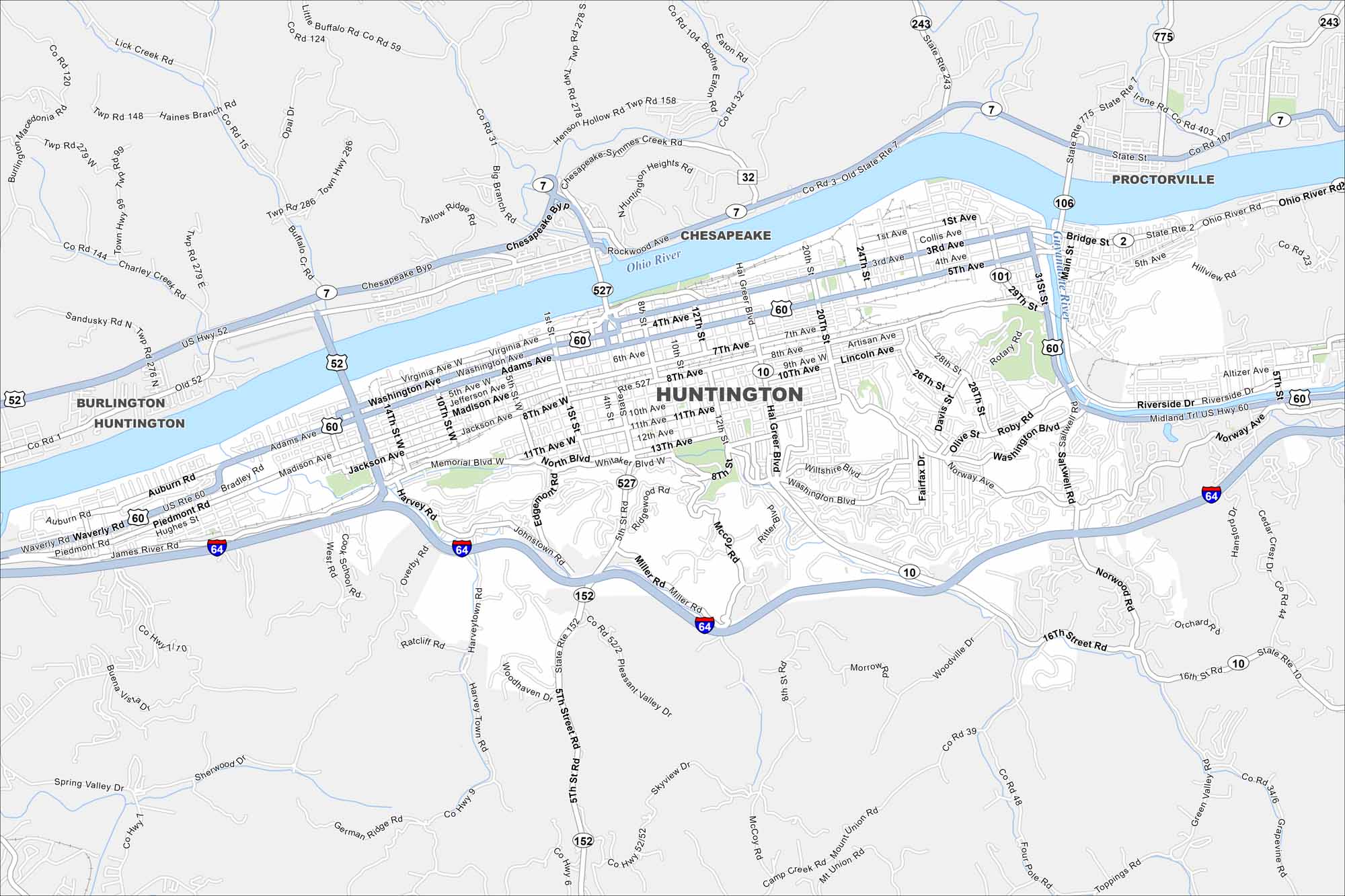
Explore our map of Huntington on the Ohio River. Marshall University anchors the downtown. Bridges connect the city across state lines.
Map Information
On the Map
Interstates/Highways: I-64, US Hwy 52, US Hwy 60, State Rte 2, State Rte 7, State Rte 10, State Rte 31, State Rte 101, State Rte 106, State Rte 152, State Rte 243, State Rte 527, State Rte 775 Major Roads: 5th Ave, 3rd Ave, 1st Ave, Hal Greer Blvd, Memorial Blvd, Washington Ave, Madison Ave, Adams Ave, Virginia Ave, Norway Ave, Riverside Dr, Piedmont Rd, Auburn Rd, Bradley Rd, Harvey Rd, Whitaker Blvd, 8th Ave, 10th Ave, 12th Ave, 13th Ave Major Rivers: Ohio River, Guyandotte River Nearby Communities: Burlington, Chesapeake, ProctorvilleWest Virginia State Maps
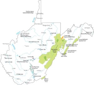
Browse our maps of the state of West Virginia.
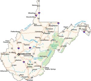
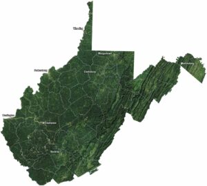


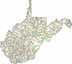
City Maps of West Virginia
Explore the geography of West Virginia