Map of Hot Springs, Arkansas
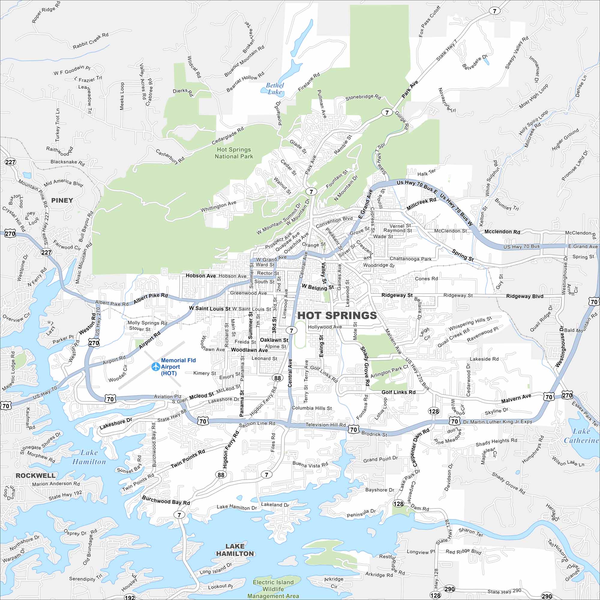
Hot Springs is situated next the Ouachita Mountains. Bathhouse Row sits near the center. Lakes and national parkland surround the city, including Hot Springs National Park.
Arkansas State Maps
Check out our Arkansas maps here


Map Information
On the Map
Interstates/Highways: US Hwy 70, US Hwy 270, US Hwy 70 Bus, US Hwy 270 Bus, State Hwy 7, State Hwy 88, State Hwy 128, State Hwy 227, State Hwy 192, State Hwy 290 Major Roads: Central Ave, Martin Luther King Jr Expy, Albert Pike Rd, Grand Ave, Airport Rd, Malvern Ave, Higdon Ferry Rd, Lakeshore Dr, Section Line Rd, Hollywood Ave, Golf Links Rd, Ridgeway Blvd, Main St, Ouachita Ave, Convention Blvd, Fountain St, Whittington Ave, Hobson Ave, Woodlawn Ave, Twin Points Rd Airports: Memorial Fld Airport (HOT) Lakes and Reservoirs: Lake Hamilton, Lake Catherine, Bethel Lake Parks/Preserves/Forests: Hot Springs National Park, Electric Island Wildlife Management Area Nearby Communities: Piney, RockwellArkansas City Maps
Discover Arkansas through our city maps


