Map of Hopkins, Minnesota
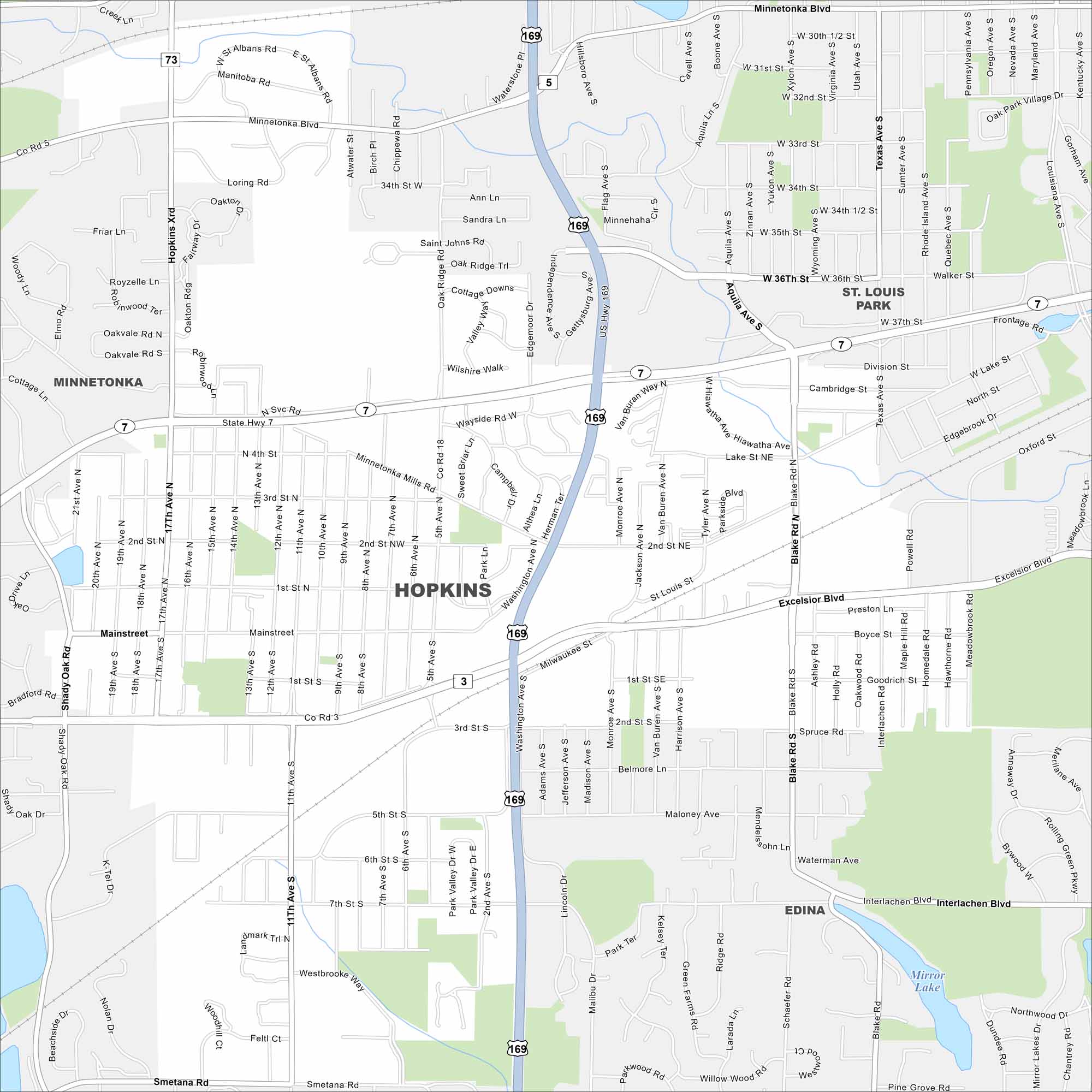
Explore our map of Hopkins just west of Minneapolis. Its compact downtown hugs the rail line. Residential neighborhoods fill in around the city core.
Map Information
On the Map
Interstates/Highways: US Hwy 169, State Rte 7, State Rte 62 Major Roads: Mainstreet, Excelsior Blvd, 11th Ave, Blake Rd, Minnetonka Blvd, Shady Oak Rd, Interlachen Blvd, State Hwy 7, 7th St, 5th St, 2nd St, Washington Ave, Baker Rd, 17th Ave, Texas Ave, Louisiana Ave, Aquila Ave, 36th St, Division St, Lake St Lakes and Reservoirs: Mirror Lake Nearby Communities: Minnetonka, St. Louis Park, EdinaMinnesota State Maps
Explore every lake in our state maps of Minnesota


Minnesota City Maps
Browse through our city maps of Minnesota


