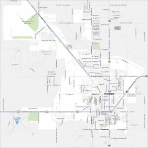
Map of Hobbs, New Mexico
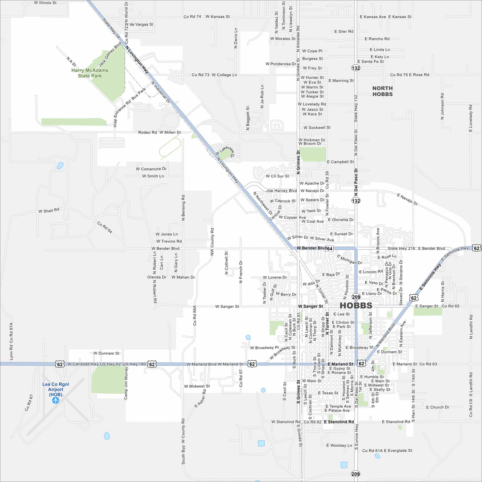
Check out our map of Hobbs near the Texas border. The grid of roads spreads into open plains and oil fields. It’s the largest city in southeastern New Mexico.
Map Information
On the Map
Interstates/Highways: US Hwy 62, US Hwy 180, State Rte 18, State Rte 132, State Rte 209 Major Roads: Marland Blvd, Bender Blvd, Lovington Hwy, Grimes St, Dal Paso St, Sanger St, Broadway St, Dal Paso St, Joe Harvey Blvd, Turner St, Navajo Dr, Kansas Ave, College Ln, Millen Dr, Fowler St, Brazos Ave, Jefferson St, Houston St, Cochran St, Stanolind Rd Airports: Lea Co Rgnl Airport (HOB) Parks and Preserves: Harry McAdams State Park Nearby Communities: North HobbsNew Mexico State Maps
See maps across deserts, peaks, and towns of New Mexico.


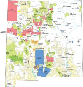


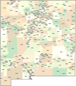
City Maps of New Mexico
Traverse New Mexico with our city maps.