Map of Hidalgo, Texas
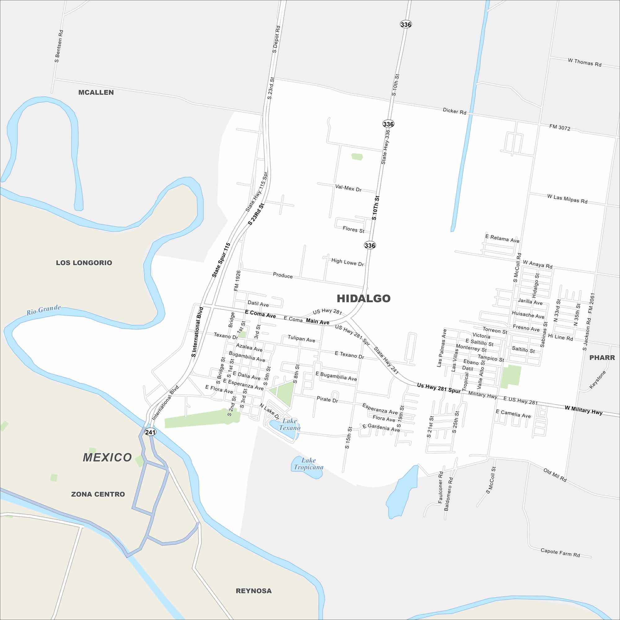
Check out our map of Hidalgo right on the US-Mexico border. The Rio Grande runs along its edge. Bridges link it directly to Reynosa, Mexico.
Map Information
On the Map
Interstates/Highways: US Hwy 281, State Hwy 241, State Spur 115, State Spur 115 Spr Major Roads: Military Hwy, International Blvd, 23rd St, 10th St, Dicker Rd, 2nd St, Coma Ave, Texano Dr, Bridge St, Depot Rd, Produce Rd, 5th St, 8th St, 15th St, 19th St, 21st St, 25th St, 33rd St, 35th St, McColl Rd Lakes and Reservoirs: Lake Texano, Lake Tropicana Major Rivers: Rio Grande Nearby Communities: McAllen, Los Longorio, Pharr, ReynosaTexas State Maps
Scan our maps of the massive southern state of Texas.


City Maps of Texas
Explore our map collection of Texas cities.


