Map of Hereford, Texas
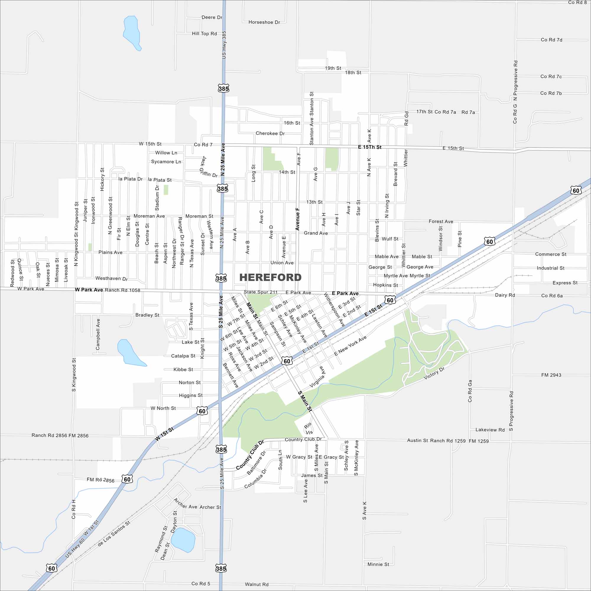
Our map of Hereford highlights its spot in the Texas Panhandle. Flat farmland spreads in all directions. Highways connect it west toward New Mexico.
Map Information
On the Map
Interstates/Highways: US Hwy 60, US Hwy 385, State Spur 211 Major Roads: 1st St, Park Ave, 15th St, Main St, Progressive Rd, 25 Mile Ave, Avenue F, Avenue N, Lee Ave, 2nd St, 5th St, Miles Ave, New York Ave, San Jose St, Country Club Dr, Hollywood Rd, Star St, Irving St, Brevard St, Union Ave Nearby Communities: DimmittTexas State Maps
Scan our maps of the massive southern state of Texas.


City Maps of Texas
Explore our map collection of Texas cities.


