Map of Havre de Grace, Maryland
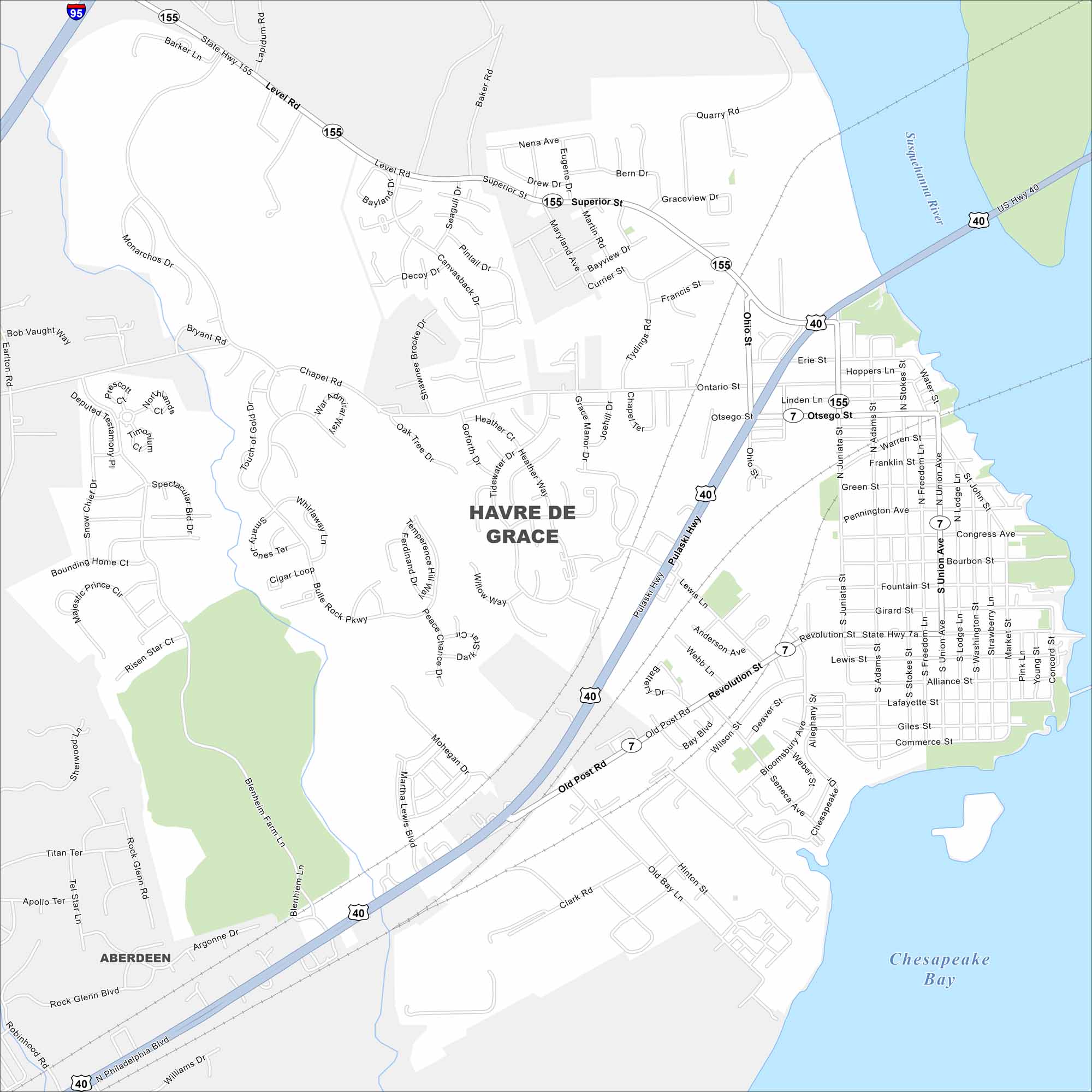
Havre de Grace sits at the head of the Chesapeake Bay where the Susquehanna River meets the bay. Our map shows plenty of water nearby. But you’ll also get to see highways, roads, railways and more.
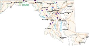
Maryland State Maps
See the geography of Maryland with our state maps


Map Information
On the Map
Interstates/Highways: I-95, US Hwy 40, State Hwy 7, State Hwy 155, Pulaski Hwy Major Roads: Philadelphia Blvd, Level Rd, Revolution St, Superior St, Otsego St, Old Post Rd, Juniata St, Union Ave, Washington St, Freedom Ln, Lodge Ln, Market St, Concord St, Bourbon St, Congress Ave, Pennington Ave, Green St, Franklin St, Erie St Lakes and Reservoirs: Chesapeake Bay Major Rivers: Susquehanna River Nearby Communities: AberdeenCity Maps of Maryland
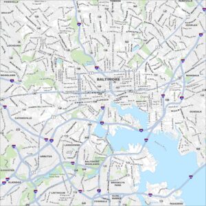
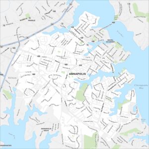
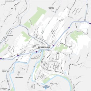
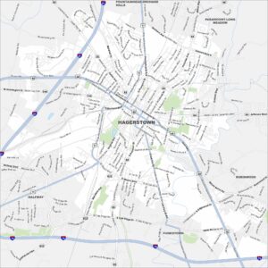
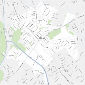
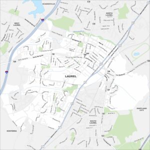
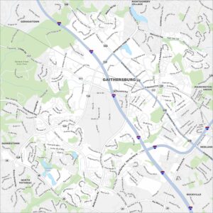
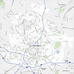
Here are our city maps of Maryland