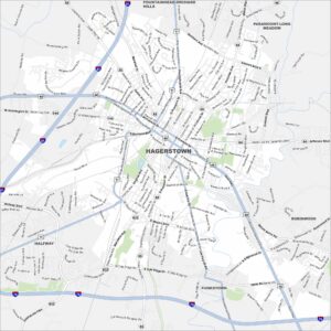
Map of Hagerstown, Maryland
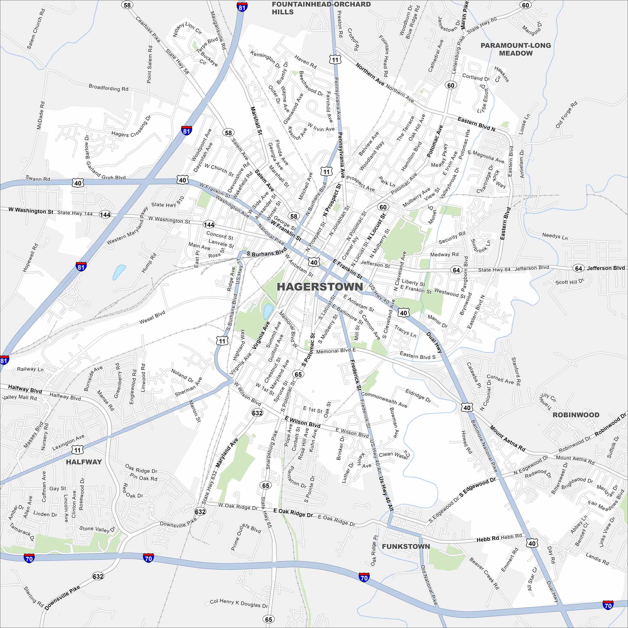
Our map of Hagerstown shows the city in western Maryland’s Cumberland Valley. Interstates 70 and 81 meet close here. Mountains and rolling countryside surround the town.
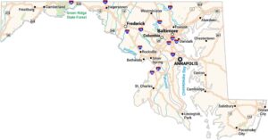
Maryland State Maps
See the geography of Maryland with our state maps


Map Information
On the Map
Interstates/Highways: I-70, I-81, US Hwy 11, US Hwy 40, US Hwy 40 Alt, State Hwy 58, State Hwy 60, State Hwy 64, State Hwy 65, State Hwy 144, State Hwy 632, State Hwy 910, Dual Hwy, National Pike Major Roads: Burhans Blvd, Eastern Blvd, Potomac Ave, Franklin St, Washington St, Salem Ave, Pennsylvania Ave, Frederick St, Wilson Blvd, Edgewood Dr, Broadfording Rd, Wesel Blvd, Halfway Blvd, Northern Ave, Locust St, Jonathan St, Mulberry St, Cleveland Ave Nearby Communities: Halfway, Funkstown, Robinwood, Paramount-Long Meadow, Fountainhead-Orchard HillsCity Maps of Maryland
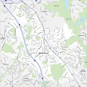
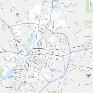
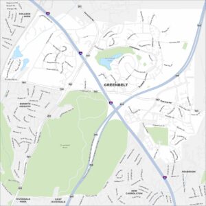
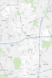
Here are our city maps of Maryland