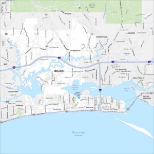
Map of Gulfport, Mississippi
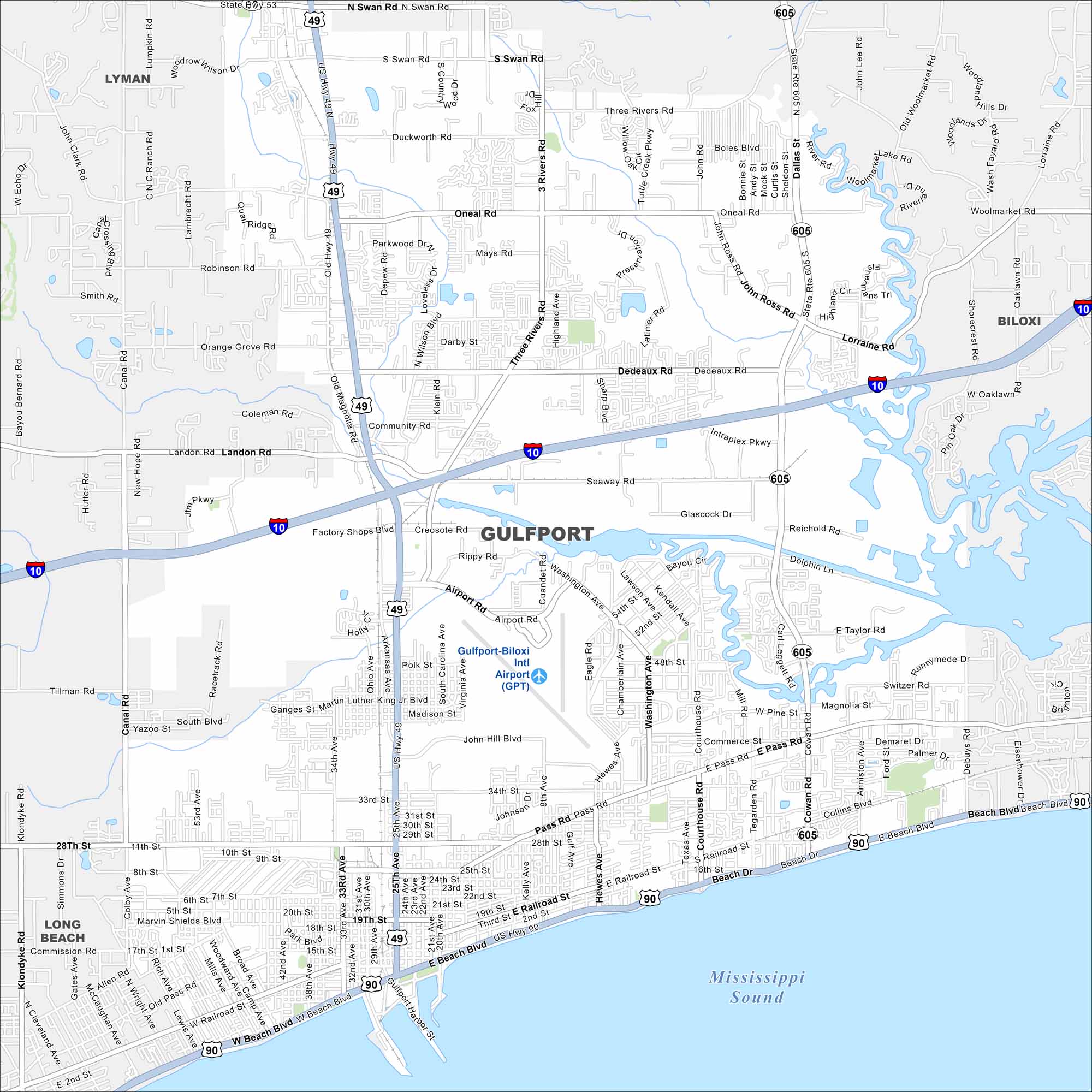
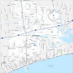
Our map of Gulfport highlights its long stretch along the Gulf Coast. The port and beaches stand out clearly. Highways connect the city inland toward Hattiesburg and beyond.
Map Information
On the Map
Interstates/Highways: I-10, US Hwy 49, US Hwy 90, State Rte 605, State Hwy 53 Major Roads: Beach Blvd, Pass Rd, Railroad St, 25th Ave, 33rd Ave, 28th St, Dedeaux Rd, Community Rd, Landon Rd, Seaway Rd, Airport Rd, Creosote Rd, Rippy Rd, Three Rivers Rd, O’Neal Rd, Swan Rd, Lorraine Rd, Cowan Rd, Courthouse Rd, Tegarden Rd Airports: Gulfport-Biloxi Intl Airport (GPT) Lakes and Reservoirs: Mississippi Sound Nearby Communities: Lyman, Biloxi, Long BeachMississippi State Maps
Explore maps of Mississippi’s towns, rivers, and roads.


Mississippi City Maps
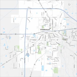
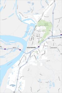
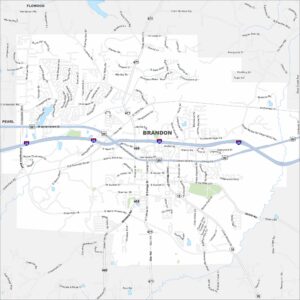
Discover Mississippi with our city maps