Map of Greenville, Texas
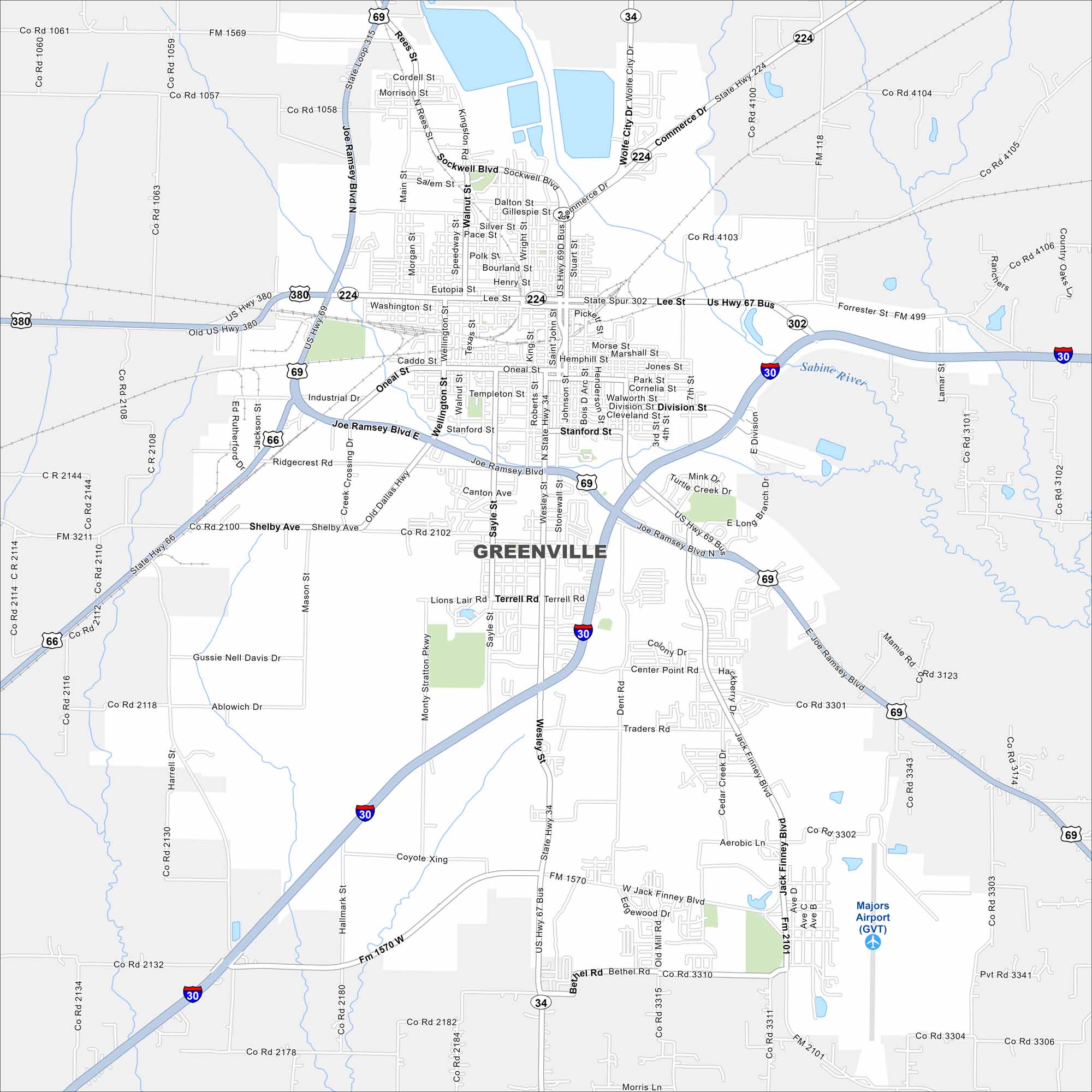
Our map of Greenville shows this city northeast of Dallas. The layout centers around U.S. Highway 69 and Interstate 30. But from here, farmland stretches outward in every direction.
Map Information
On the Map
Interstates/Highways: I-30, US Hwy 69, US Hwy 380, US Hwy 67, State Hwy 34, State Hwy 66, State Hwy 224, State Loop 315 Major Roads: Joe Ramsey Blvd, Wesley St, Lee St, Washington St, Park St, Jack Finney Blvd, Monty Stratton Pkwy, Sayle St, Stonewall St, Johnson St, King St, Traders Rd, Kari Ln, Oneal St, Industrial Dr, Ridgecrest Rd, Shelby Ave, Lions Lair Rd, Terrell Rd, Center Point Rd Airports: Majors Airport (GVT) Major Rivers: Sabine River Nearby Communities: Floyd, Caddo MillsTexas State Maps
Scan our maps of the massive southern state of Texas.


City Maps of Texas
Explore our map collection of Texas cities.


