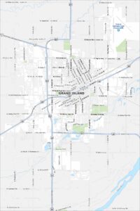
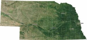
Map of Grand Island, Nebraska
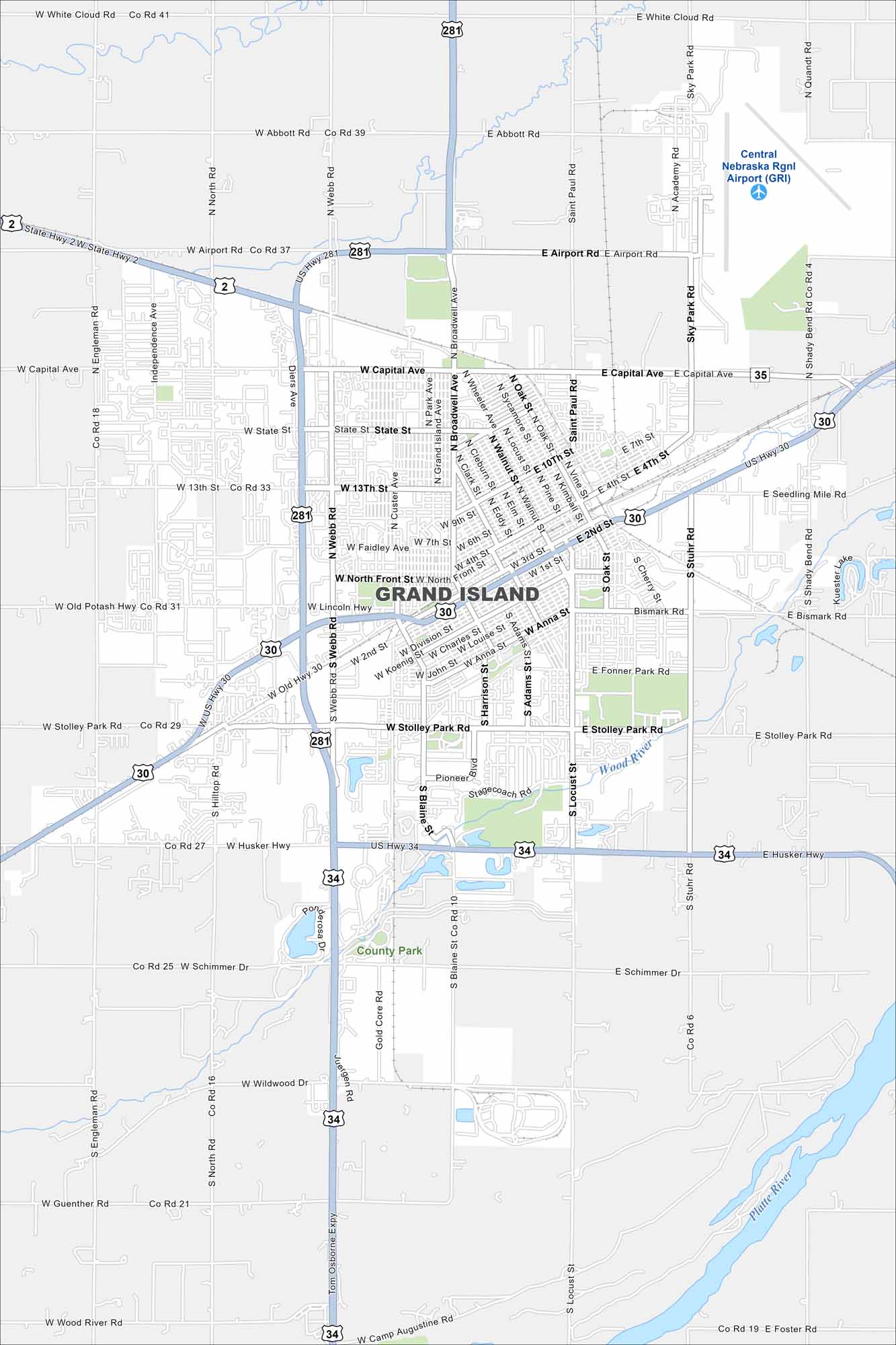
Grand Island is in central Nebraska along the Platte River. Our road map displays highways crossing through the city and the nearby waterway. It’s also a stop on the migration route of sandhill cranes.
Map Information
On the Map
Interstates/Highways: US Hwy 281, US Hwy 34, US Hwy 30, State Rte 2 Major Roads: Capital Ave, Webb Rd, Broadwell Ave, Locust St, Stolley Park Rd, Husker Hwy, North Rd, Airport Rd, Abbott Rd, 13th St, 7th St, 2nd St, Lincoln Hwy, Old Potash Hwy, Schimmer Dr, Guenther Rd, Wood River Rd, Camp Augustine Rd, State St, Eddy St Airports: Central Nebraska Rgnl Airport (GRI) Major Rivers: Wood River, Platte RiverNebraska State Maps
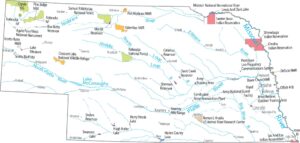
Examine maps showing prairies and cities in Nebraska.


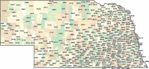
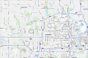
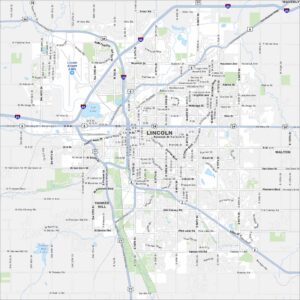
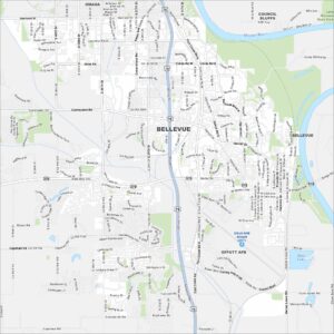
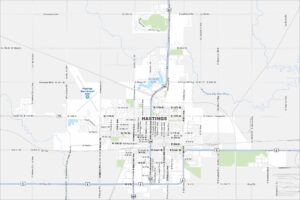
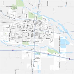
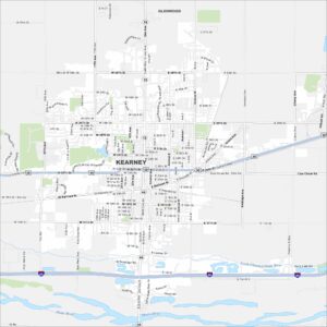
City Maps of Nebraska
Nebraska city maps are here