Map of Golden Valley, Minnesota
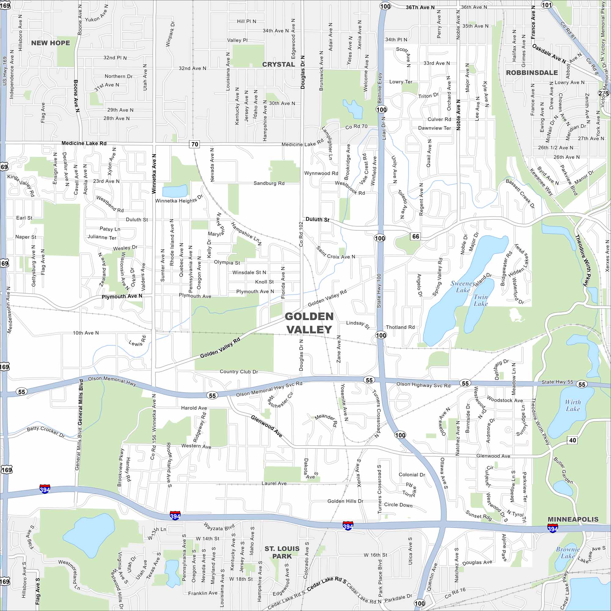
Take a look at our map of Golden Valley, Minnesota. Here’s where ponds and parks break up neighborhoods. It feels open but still sits next to Minneapolis.
Map Information
On the Map
Interstates/Highways: I-394, US Hwy 169, State Rte 100, State Rte 55, Olson Memorial Hwy Major Roads: Wayzata Blvd, Winnetka Ave, Douglas Dr, Golden Valley Rd, Glenwood Ave, Medicine Lake Rd, 36th Ave, Duluth St, Plymouth Ave, 10th Ave, Xenia Ave, Turner Crossroads, Louisiana Ave, Pennsylvania Ave, Nevada Ave, Boone Ave, General Mills Blvd, Rhode Island Ave, Regent Ave Lakes and Reservoirs: Sweeney Lake, Twin Lake, Hidden Lake, Wirth Lake, Brownie Lake Nearby Communities: Minneapolis, St. Louis Park, New Hope, Crystal, RobbinsdaleMinnesota State Maps
Explore every lake in our state maps of Minnesota


Minnesota City Maps
Browse through our city maps of Minnesota


