Georgia National Parks and Forests Map
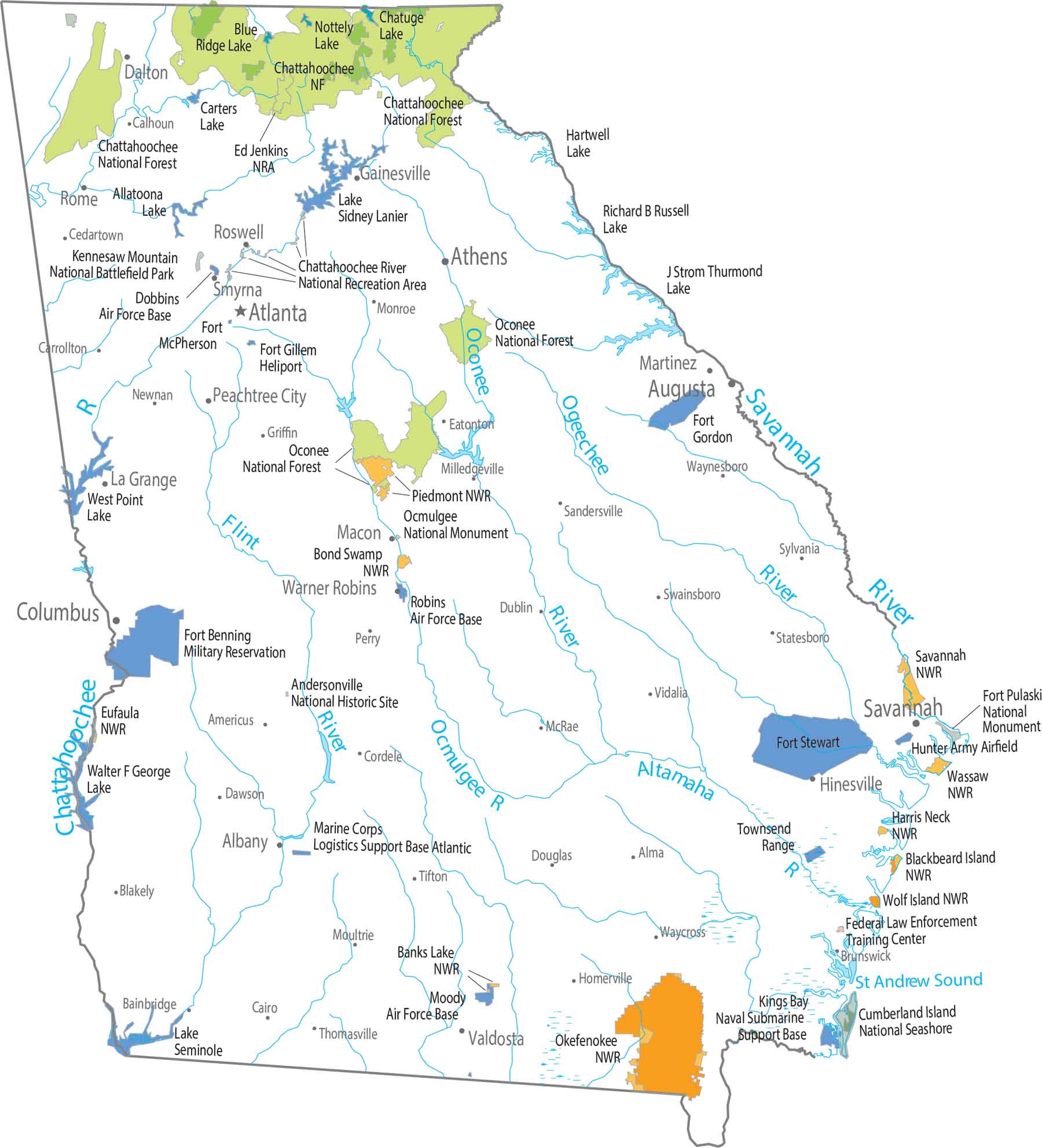
Forests stack up where the land rises in the north. Our map shows protected areas hugging the Appalachian foothills. Chattahoochee National Forest covers a wide, uneven stretch. South Georgia spreads out and thins with a few national wildlife refuges.
Map Information
On the Map
Parks and Forests
National Forests (NF): Chattahoochee NF, Oconee NF National Wildlife Refuges: Banks Lake NWR, Blackbeard Island NWR, Bond Swamp NWR, Eufaula NWR, Harris Neck NWR, Okefenokee NWR, Piedmont NWR, Savannah NWR, Wassaw NWR, Wolf Island NWR Conservation Areas: Andersonville National Historic Site, Cumberland Island National Seashore, Fort Pulaski National Monument, Ocmulgee National Monument Lakes and Reservoirs: Allatoona Lake, Blue Ridge Lake, Chattahoochee River, Chatuge Lake, Lake Hartwell, Lake J Strom Thurmond, Lake Kings Bay, Lake Richard B Russell, Lake Seminole, Lake Sidney Lanier, Nottely Lake, St Andrew Sound, Walter F George Lake, West Point Lake Rivers and Streams: Altamaha River, Chattahoochee River, Flint River, Ocmulgee River, Oconee River, Ogeechee River, Savannah RiverLand Information
State Capital: Atlanta Major Cities: Athens, Augusta, Columbus, Macon, Savannah Cities and Towns: Albany, Alma, Alpharetta, Americus, Bainbridge, Blakely, Bremen, Brunswick, Cairo, Calhoun, Carrolton, Cartersville, Cedartown, Cordele, Covington, Dalton, Dawson, Douglas, Dublin, East Point, Eatonton, Fort Valley, Gainesville, Griffin, Hinesville, Homerville, Kingsland, La Grange, Marietta, Martinez, McRae, Milledgeville, Monroe, Moultrie, Newnan, Peachtree City, Perry, Rome, Roswell, Sandersville, Smyrna, Statesboro, Swainsboro, Sylvania, Thomasville, Tifton, Toccoa, Valdosta, Vidalia, Warner Robins, Waycross, Waynesboro Army, Navel and Military: Chickamauga and Chattanooga National Military Park, Dobbins Air Force Base, Federal Law Enforcement Training Center, Fort Benning Military Reservation, Fort Gillem Heliport, Fort Gordon, Fort McPherson, Fort Stewart, Hunter Army Airfield, Kennesaw Mountain National Battlefield Park, Marine Corps Logistics Support Base Atlantic, Moody Air Force Base, Naval Submarine Support Base, Robins Air Force Base, Townsend RangeGeorgia State Maps
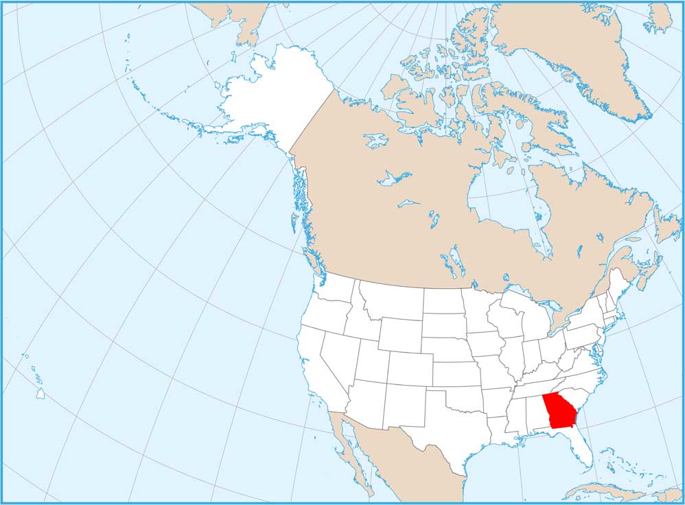
Browse through our Georgia map collection


