Map of Georgetown, Texas
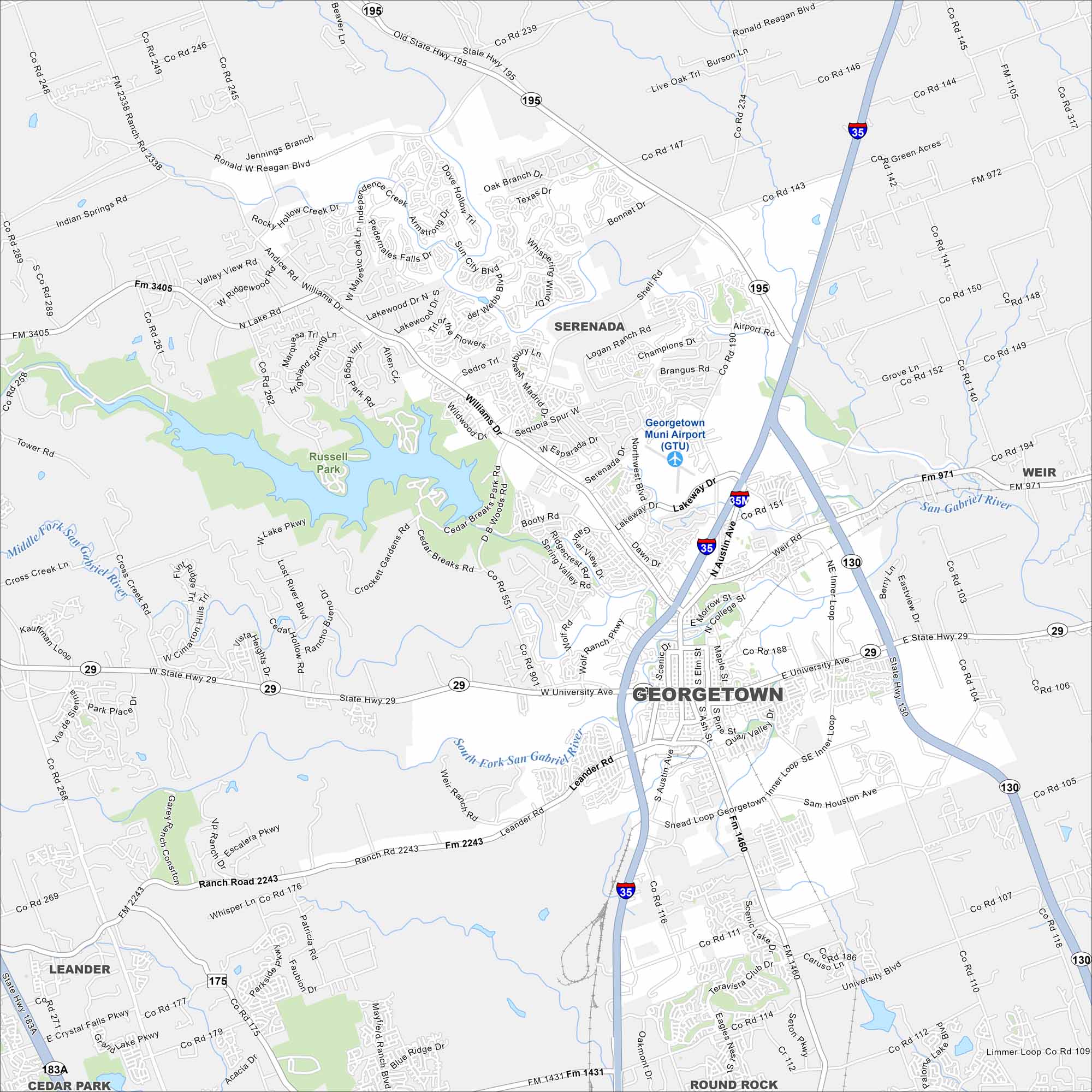
See the streets, highways, and rivers that cut through Georgetown, Texas. Our map displays its layout with plenty of green spaces. Georgetown is known for its historic square and location north of Austin.
Map Information
On the Map
Interstates/Highways: I-35, State Hwy 130, State Hwy 195, State Hwy 29, US Hwy 183 Major Roads: University Ave, Austin Ave, Williams Dr, Inner Loop, Leander Rd, Shell Rd, Lakeway Dr, Airport Rd, Westinghouse Rd, Sam Houston Ave, Weir Rd, Rockride Ln, DB Woods Rd, Cedar Breaks Rd, Booty Rd, Rabbit Hill Rd, Blue Ridge Dr, Serenada Dr, Park Rd, Rivery Blvd Airports: Georgetown Muni Airport (GTU) Lakes and Reservoirs: Lake Georgetown Major Rivers: San Gabriel River, Middle Fork San Gabriel River, South Fork San Gabriel River Nearby Communities: Serenada, Weir, Round Rock, Leander, Cedar ParkTexas State Maps
Scan our maps of the massive southern state of Texas.


City Maps of Texas
Explore our map collection of Texas cities.


