Map of Galveston, Texas
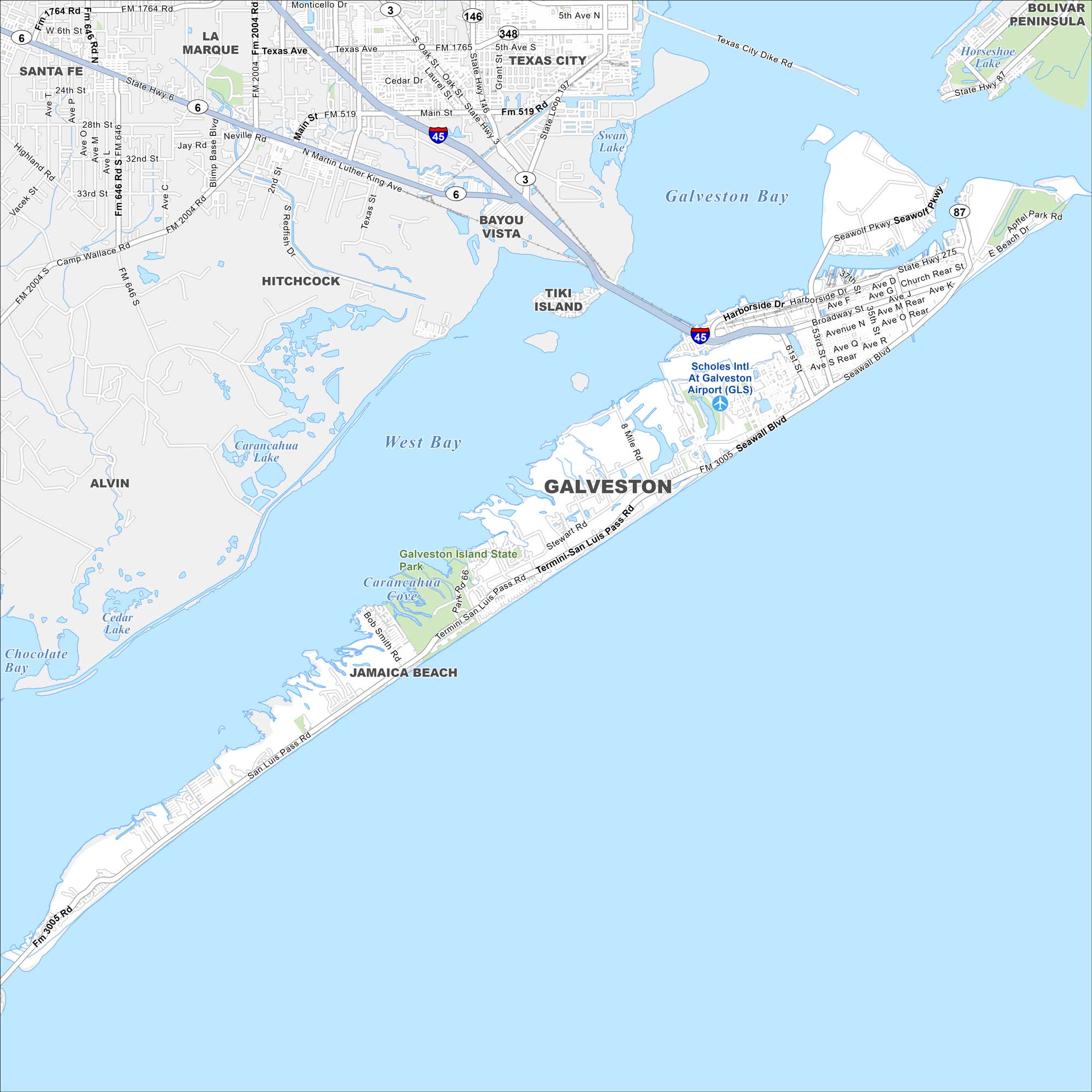
Our map of Galveston shows its streets, beaches, and harbor routes. Roads and highways lead you across the main island. It rests right on the Gulf Coast.
Map Information
On the Map
Interstates/Highways: I-45, State Rte 87, State Rte 6 Major Roads: Seawall Blvd, Broadway St, Termini-San Luis Pass Rd, Harborside Dr, Highway 146, Highway 197, Main St, 61st St, 53rd St, 37th St, 8 Mile Rd, Bob Smith Rd, Stewart Rd, Texas Ave, Laurel St Airports: Scholes Intl At Galveston Airport (GLS) Lakes and Reservoirs: Galveston Bay, West Bay, Swan Lake, Carancahua Lake, Chocolate Bay Parks and Preserves: Galveston Island State Park Nearby Communities: Galveston, Jamaica Beach, Tiki Island, Bayou Vista, Hitchcock, Santa Fe, La Marque, Texas City, Bolivar PeninsulaTexas State Maps
Scan our maps of the massive southern state of Texas.


City Maps of Texas
Explore our map collection of Texas cities.


