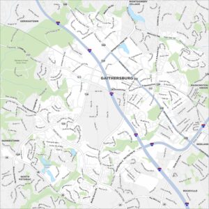
Map of Gaithersburg, Maryland
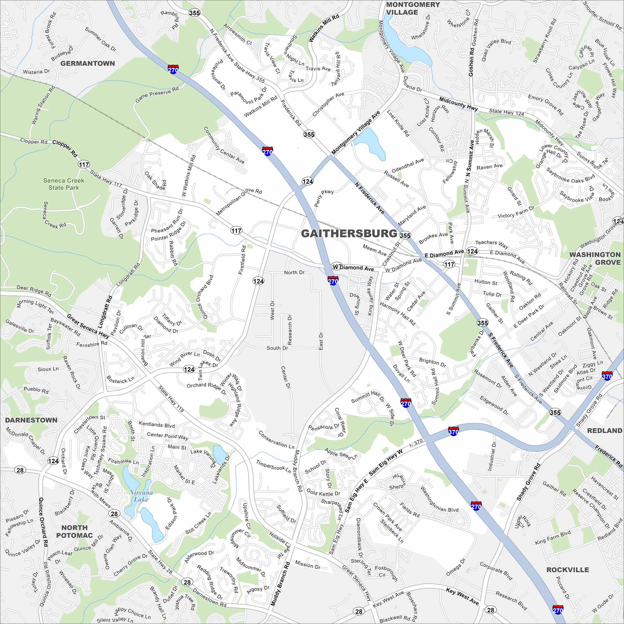
Check out our map of Gaithersburg northwest of Washington, D.C. Lakes and creeks bring in a mix of open space. Roads and highways crisscross the area.
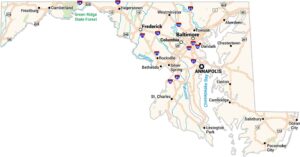
Maryland State Maps
See the geography of Maryland with our state maps


Map Information
On the Map
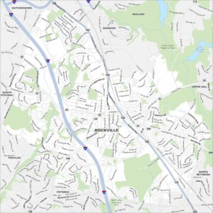
Interstates/Highways: I-270, I-370, State Hwy 28, State Hwy 117, State Hwy 119, State Hwy 124, State Hwy 355 Major Roads: Frederick Ave, Montgomery Village Ave, Diamond Ave, Quince Orchard Rd, Great Seneca Hwy, Sam Eig Hwy, Muddy Branch Rd, Key West Ave, Shady Grove Rd, Watkins Mill Rd, Midcounty Hwy, Goshen Rd, Snouffer School Rd, Muncaster Mill Rd, Fields Rd, Westard Dr, Rio Blvd, Crown Park Ave, Industrial Dr, Gaither Rd Lakes and Reservoirs: Lake Varuna, Nirvana Lake Parks and Preserves: Seneca Creek State Park Nearby Communities: Germantown, Montgomery Village, Washington Grove, Redland, Rockville, North Potomac, DarnestownCity Maps of Maryland
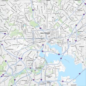
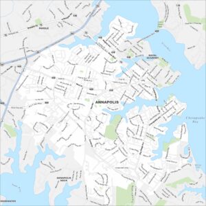
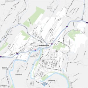
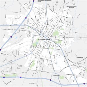
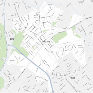
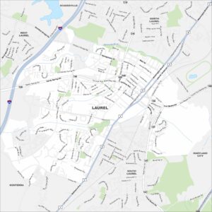
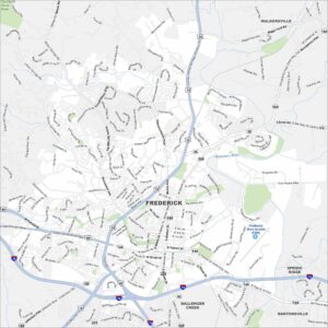
Here are our city maps of Maryland