Map of Friendswood, Texas
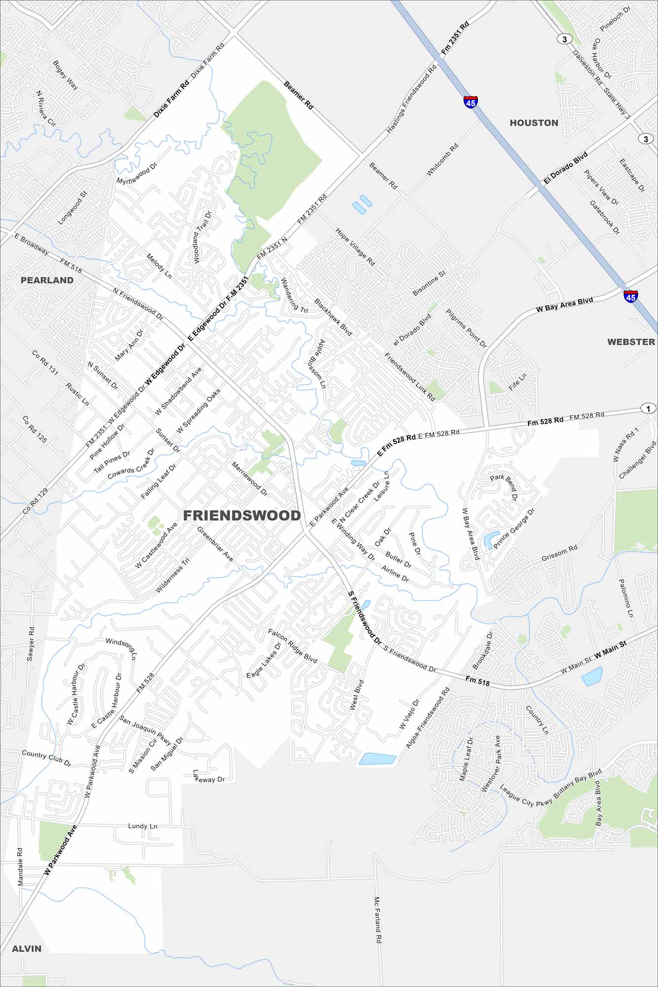
Our map of Friendswood shows it between Houston and Galveston. Bayous and greenbelts fill in highways that connect it to the city and coast.
Map Information
On the Map
Interstates/Highways: I-45, State Rte 3 Major Roads: Friendswood Dr, Edgewood Dr, Bay Area Blvd, Dixie Farm Rd, Beamer Rd, El Dorado Blvd, Parkwood Ave, Blackhawk Blvd, Clear Creek Dr, Winding Way Dr, Castlewood Ave, Falcon Ridge Blvd, Eagle Lakes Dr, West Blvd, Sunset Dr, Broadway, Whispering Pines Ave Nearby Communities: Friendswood, Houston, Webster, League City, Alvin, PearlandTexas State Maps
Scan our maps of the massive southern state of Texas.


City Maps of Texas
Explore our map collection of Texas cities.


