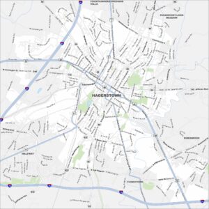
Map of Frederick, Maryland
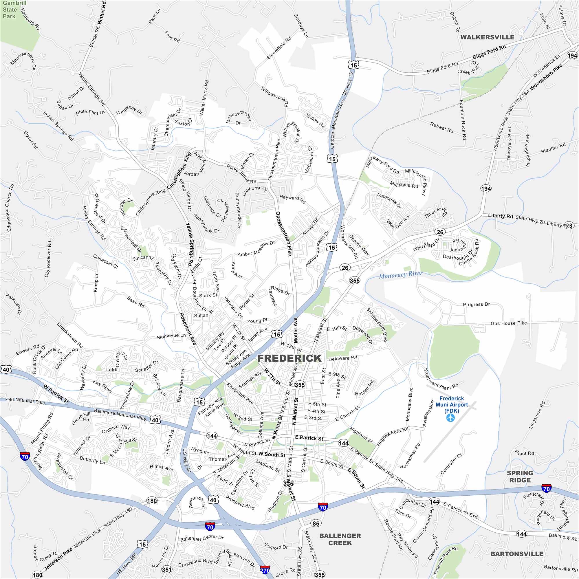
Frederick is set in a valley with the Monocacy River flowing by. Catoctin Mountain rises just to the west. I-70 and I-270 intersect here, making it a hub for travelers.
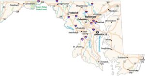
Maryland State Maps
See the geography of Maryland with our state maps


Map Information
On the Map
Interstates/Highways: I-70, I-180, I-270, US Hwy 15, US Hwy 40, US Hwy 340, State Hwy 26, State Hwy 85, State Hwy 144, State Hwy 180, State Hwy 194, State Hwy 351, State Hwy 355 Major Roads: Patrick St, Frederick Exd, Jefferson Pike, Ballenger Creek Pike, Catoctin Mountain Hwy, Liberty Rd, Woodsboro Pike, Market St, East St, Monocacy Blvd, Rosemont Ave, Motter Ave, Baughmans Ln, Oppossumtown Pike, Shookstown Rd, Yellow Springs Rd, Christopher’s Xing, Gas House Pike, Hughes Ford Rd, Stadium Dr Airports: Frederick Muni Airport (FDK) Major Rivers: Monocacy River Parks and Preserves: Gambrill State Park Nearby Communities: Walkersville, Spring Ridge, Bartonsville, Ballenger CreekCity Maps of Maryland
Here are our city maps of Maryland