Map of Franklin, Massachusetts
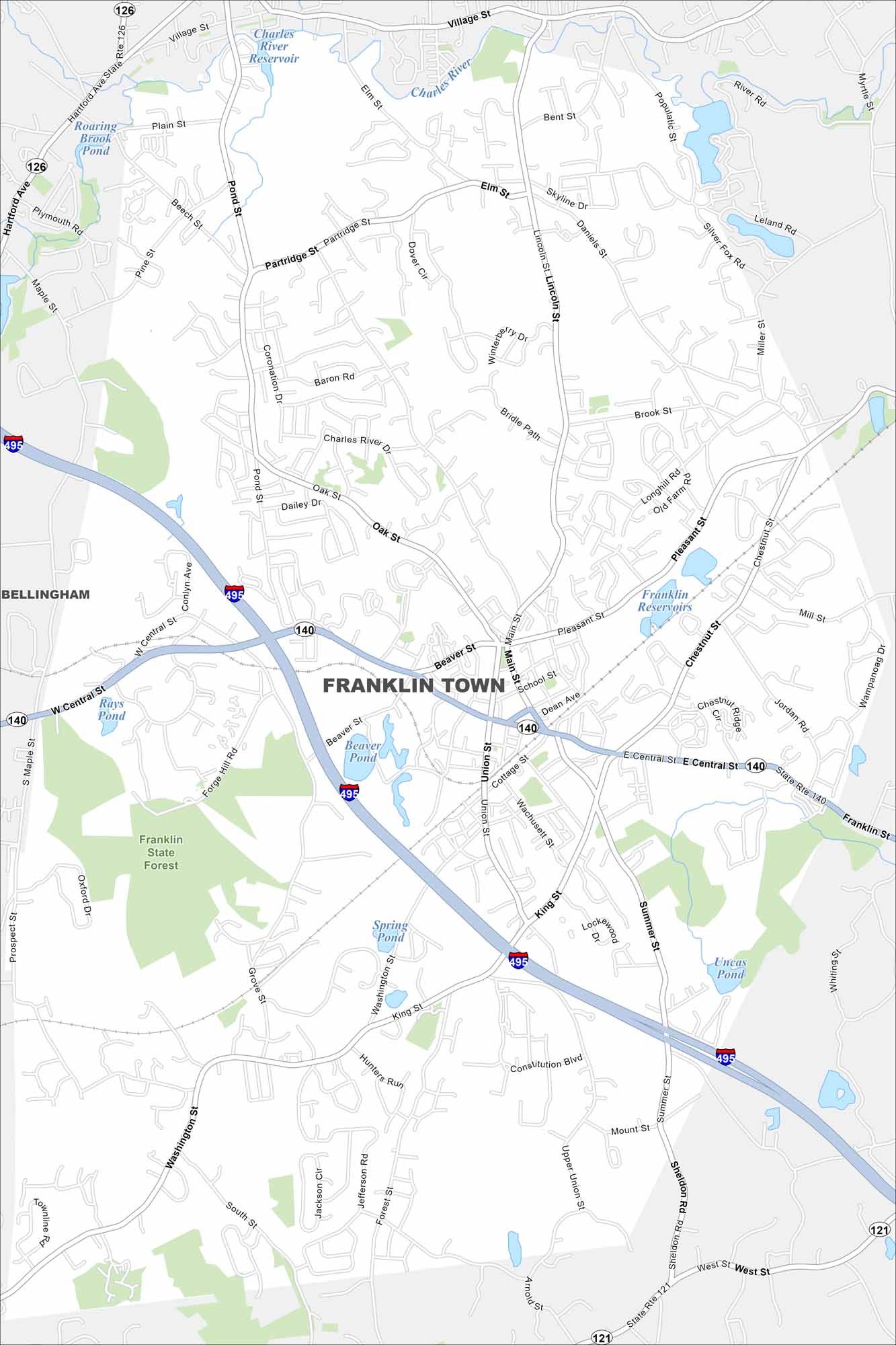
Our map of the Town of Franklin shows I-495 curving nearby. It includes local roads branching into neighborhoods. The Charles River crosses part of the town. It’s recognized as home to America’s first public library.
Map Information
On the Map
Interstates/Highways: I-495, State Rte 140, State Rte 126, State Rte 121 Major Roads: Central St, King St, Union St, Beaver St, West St, Pleasant St, Chestnut St, Washington St, Maple St, Forge Hill Rd, Daniels St, Elm St, Miller St, Populatic St, Partridge St, Coronation Dr, Jordan Rd, Constitution Blvd, Upper Union St, Grove St Lakes and Reservoirs: Franklin Reservoirs, Charles River Reservoir, Beaver Pond, Spring Pond, Uncas Pond, Rays Pond, Roaring Brook Pond Major Rivers: Charles River Parks and Preserves: Franklin State Forest Nearby Communities: BellinghamMassachusetts State Maps
Here’s our state maps of Massachusetts


City Maps of Massachusetts
Explore Boston and other urban areas in Massachusetts


