Map of Fort Morgan, Colorado
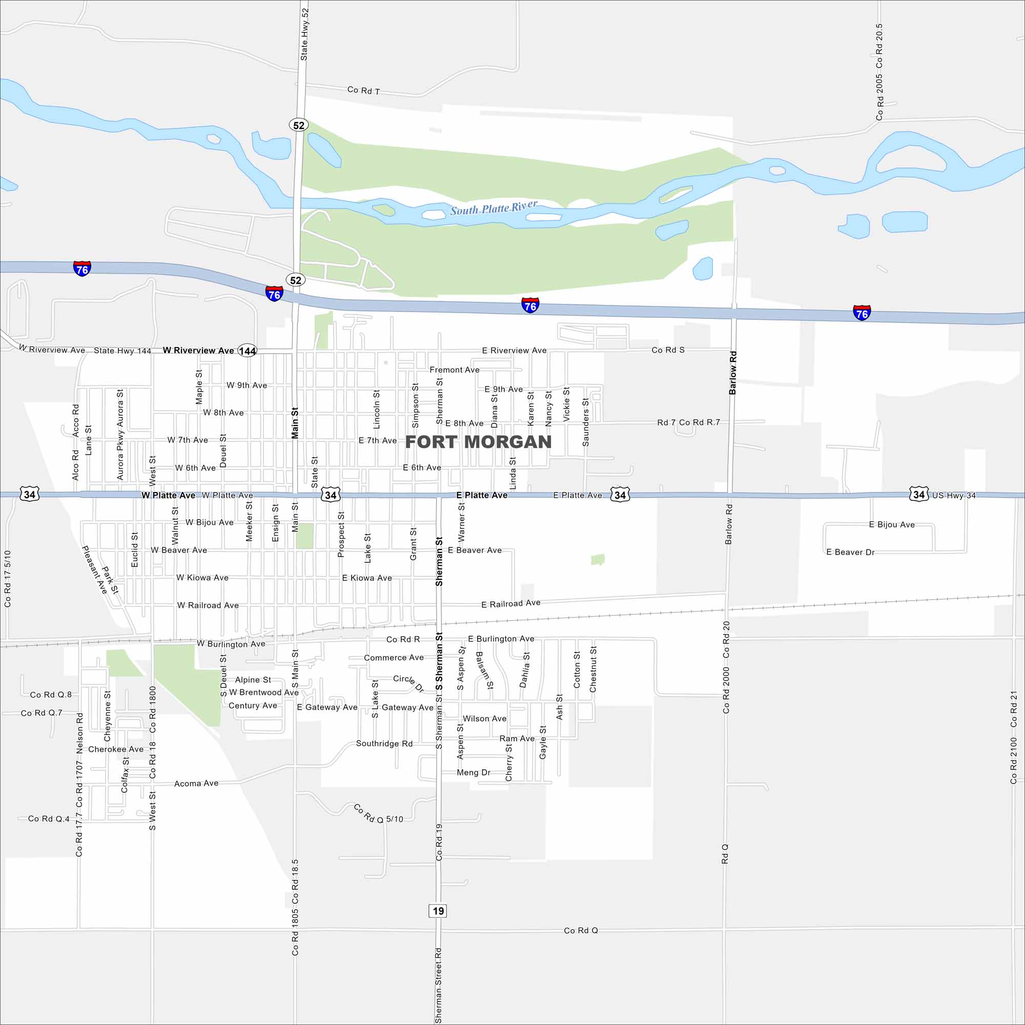
Our map of Fort Morgan highlights its spot along the South Platte River. Wide farmland surrounds the city in every direction. I-76 runs just north, which is parallel to US Highway 34.
Colorado State Maps
Browse Colorado with our detailed state maps


Map Information
On the Map
Interstates/Highways: I-76, US Hwy 34, State Rte 52, State Rte 144, State Rte 19 Major Roads: Platte Ave, Main St, Riverview Ave, Barlow Rd, West St, Sherman St, Beaver Ave, Railroad Ave, Burlington Ave, Commerce Ave, 8th Ave, 7th Ave, 9th Ave, Kiowa Ave, Bijou Ave Major Rivers: South Platte RiverColorado City Maps
Here are maps of Colorado’s urban areas


