Map of Firestone, Colorado
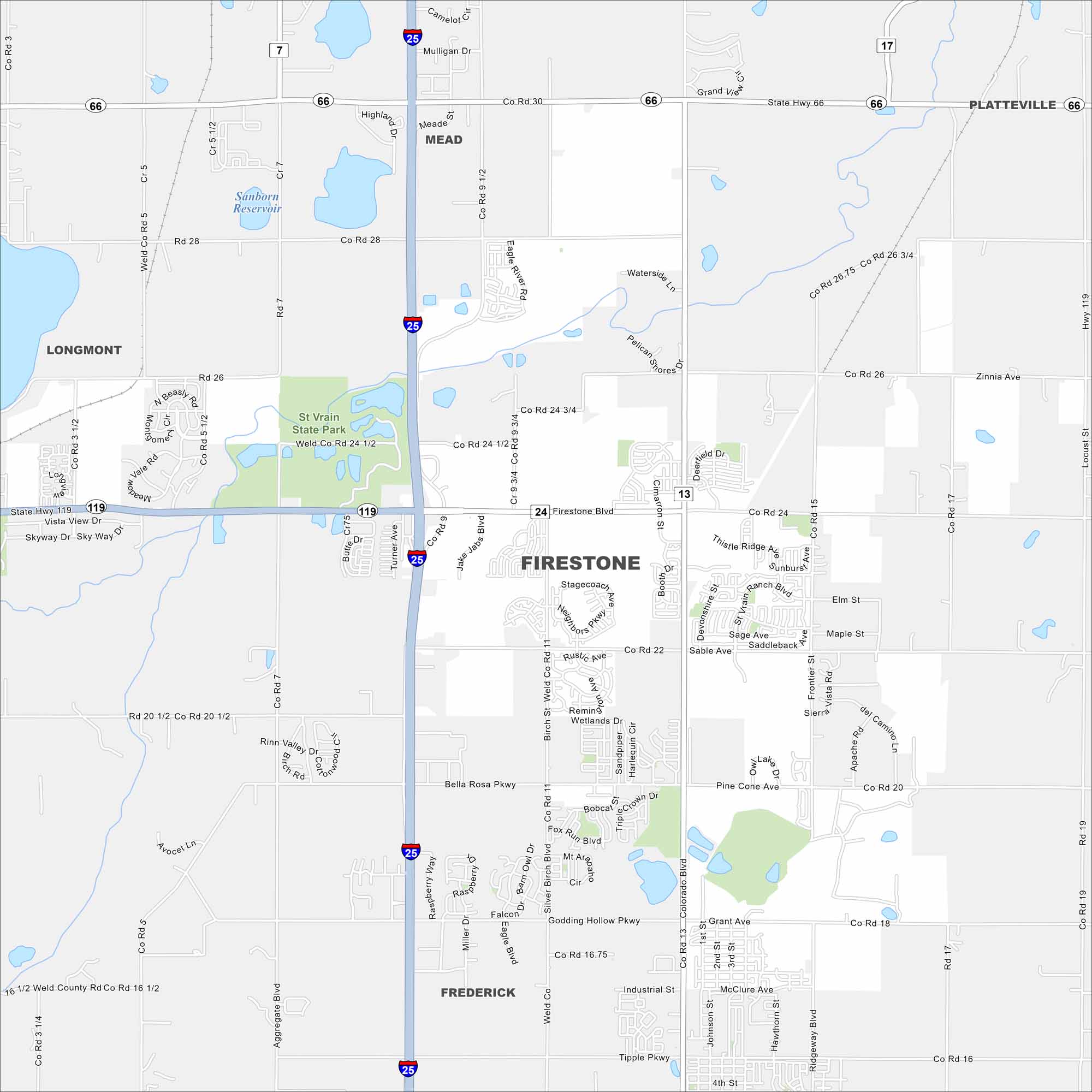
Our map of Firestone shows it north of Denver in the Front Range. Wide-open plains spread east, while the Rockies rise in the distance. We’ve mapped out major routes, state parks and lakes/ponds.
Colorado State Maps
Browse Colorado with our detailed state maps


Map Information
On the Map
Interstates/Highways: I-25, State Rte 66, State Rte 119, State Rte 7 Major Roads: Firestone Blvd, Colorado Blvd, Frontier St, Sable Ave, Birch St, Neighbors Pkwy, Grant Ave, Godding Hollow Pkwy, 1st St, Cimarron St, Booth Dr, Miller Dr, Eagle Blvd Lakes and Reservoirs: Sanborn Reservoir Parks and Preserves: St Vrain State Park Nearby Communities: Longmont, Mead, Platteville, FrederickColorado City Maps
Here are maps of Colorado’s urban areas


