Map of Fairview, Texas
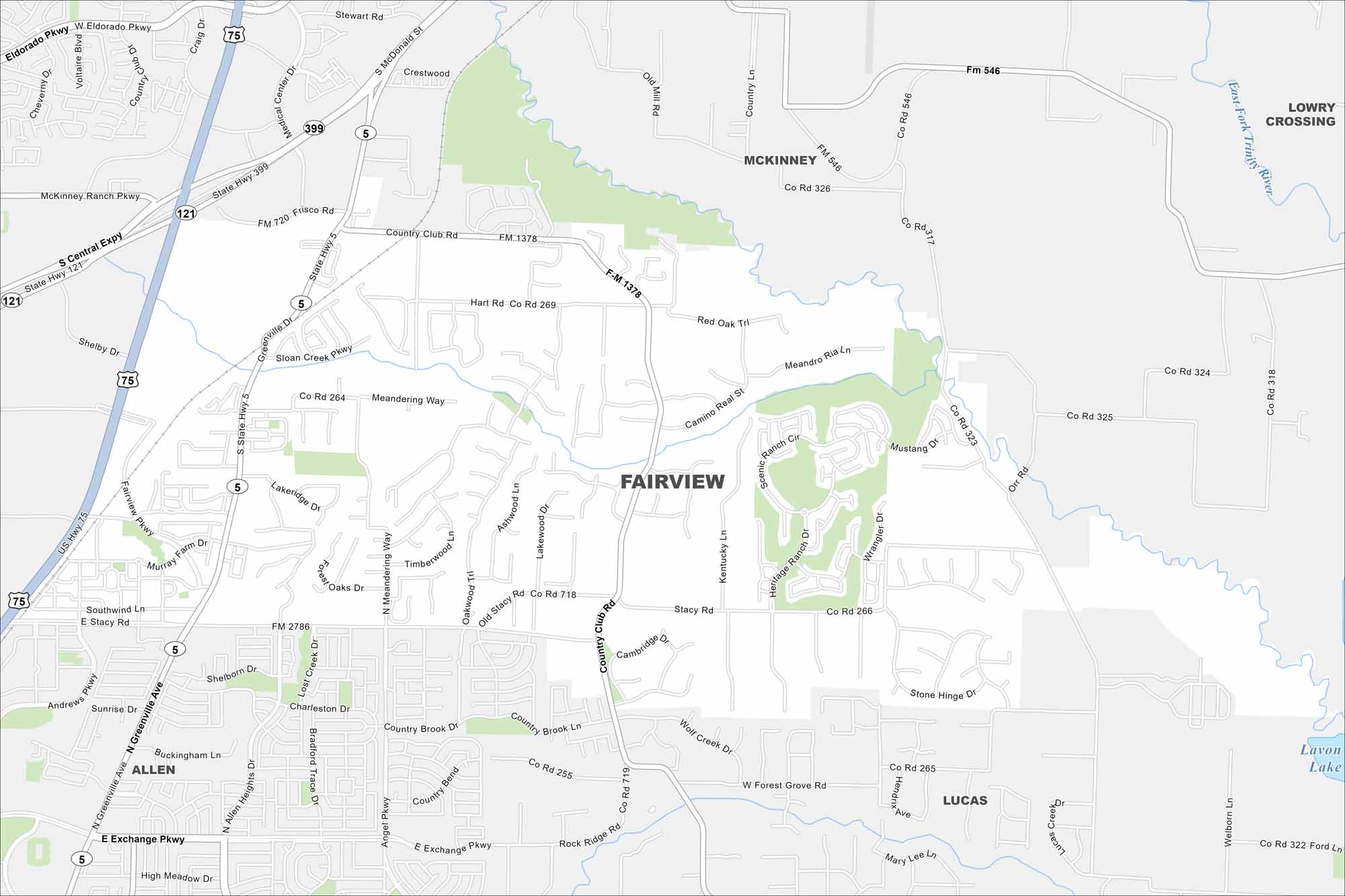
Fairview is a suburban town northeast of Dallas. Open land mixes with new developments along US-75. Our map shows its city growth and rural space.
Map Information
On the Map
Interstates/Highways: US Hwy 75, State Rte 5, State Rte 121 Major Roads: Stacy Rd, Greenville Ave, FM 1378, FM 2786, Country Club Rd, Ridgeview Dr, Meandering Way, Hart Rd, Medical Center Dr, Stewart Rd, Orr Rd, Sloan Creek Pkwy, Old Stacy Rd, Buckingham Ln, Exchange Pkwy, Eldorado Pkwy, McKinney Ranch Pkwy, Angel Pkwy, Allen Heights Dr, Forest Grove Rd Lakes and Reservoirs: Lavon Lake Nearby Communities: Allen, Lucas, McKinney, Lowry CrossingTexas State Maps
Scan our maps of the massive southern state of Texas.


City Maps of Texas
Explore our map collection of Texas cities.


