Map of El Dorado, Arkansas
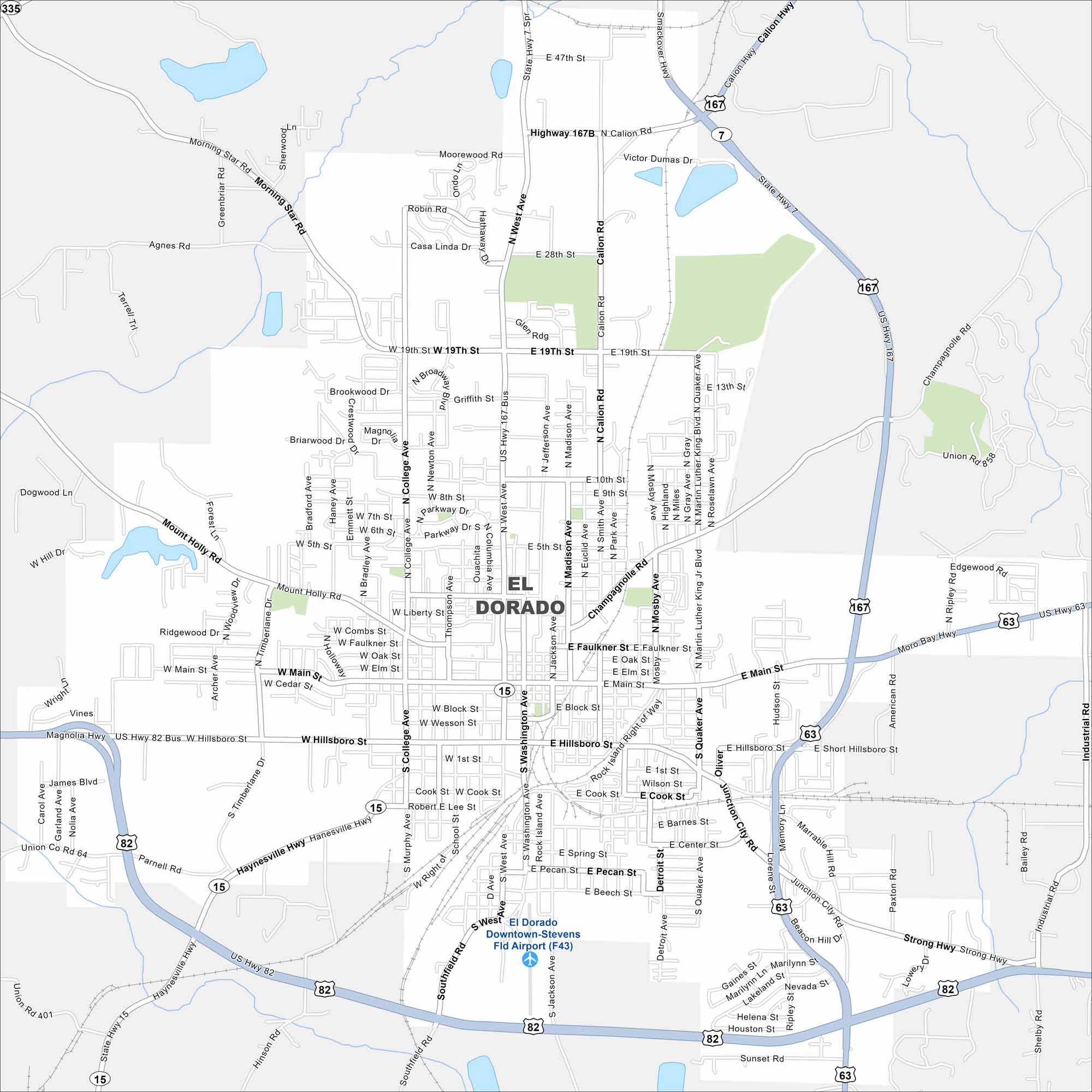
El Dorado is in southern Arkansas near the Ouachita River. Our map reveals its downtown surrounded by wooded countryside. It’s called the “Queen City of South Arkansas” because of its oil boom history.
Arkansas State Maps
Check out our Arkansas maps here


Map Information
On the Map
Interstates/Highways: US Hwy 167, US Hwy 82, US Hwy 63, State Hwy 15, State Hwy 7 Major Roads: Hillsboro St, Main St, West Ave, Washington Ave, College Ave, Champagnolle Rd, Calion Rd, North Ave, Madison Ave, Jefferson Ave, Mosby Ave, Quaker Ave, Northwest Ave, Liberty St, Faulkner St, Wesson St, Block St, Cedar St, 19th St, Mount Holly Rd Airports: Downtown-Stevens Fld Airport (F43)Arkansas City Maps
Discover Arkansas through our city maps


