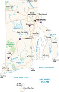
Map of East Providence, Rhode Island
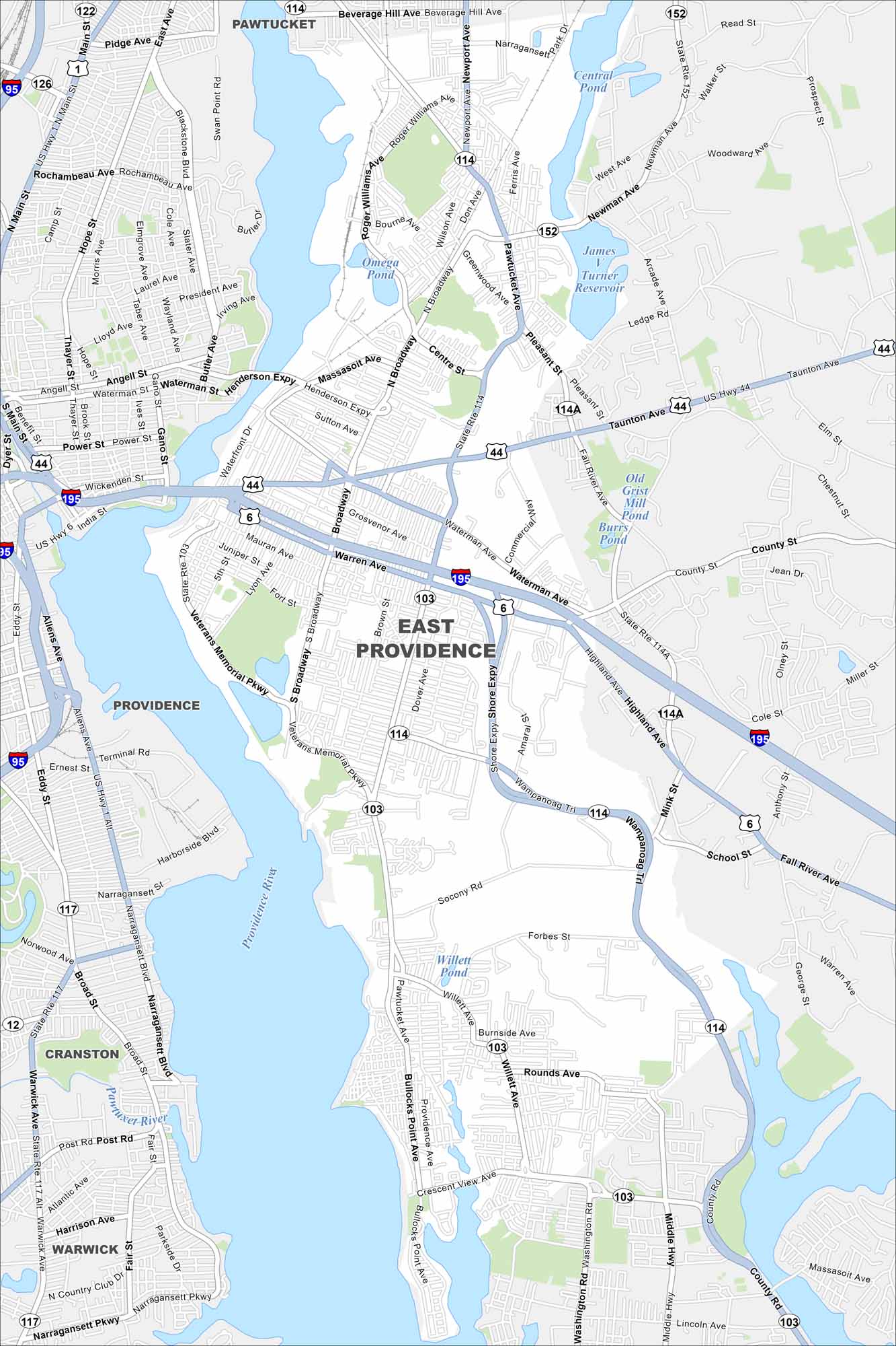
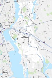
Our map of East Providence shows the Providence River cutting along the west side. Bridges connect it directly to Providence. This city is known for its mix of waterfront neighborhoods and historic districts.
Map Information
On the Map
Interstates/Highways: I-95, I-195, US Hwy 1, US Hwy 6, US Hwy 44, State Rte 103, State Rte 114, State Rte 114A, State Rte 117, State Rte 152 Major Roads: Pawtucket Ave, Broadway, Waterman Ave, Veterans Memorial Pkwy, Henderson Expy, Shore Expy, Wampanoag Trl, Bullocks Point Ave, Newport Ave, Warren Ave, Taunton Ave, Willett Ave, Main St, Hope St, Thayer St, Gano St, Narragansett Blvd, Post Rd, Broad St, Ferris Ave Lakes and Reservoirs: Omega Pond, Central Pond, James V Turner Reservoir, Old Grist Mill Pond, Burrs Pond, Willett Pond, Narragansett Bay Major Rivers: Providence River, Pawtuxet River Nearby Communities: Providence, Pawtucket, Cranston, WarwickRhode Island State Maps
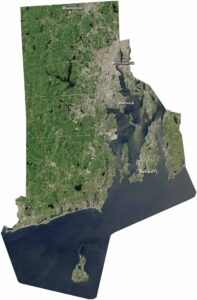
Here are our maps of this compact coastal state.


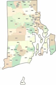
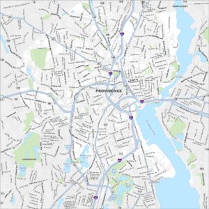
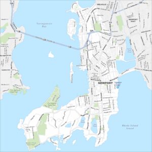
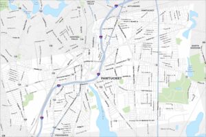
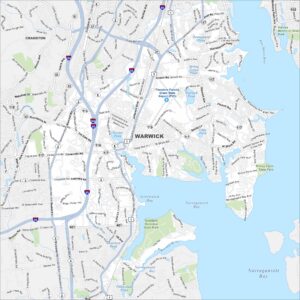
City Maps of Rhode Island
Chart your path through Rhode Island’s cities and towns