Map of Dripping Springs, Texas
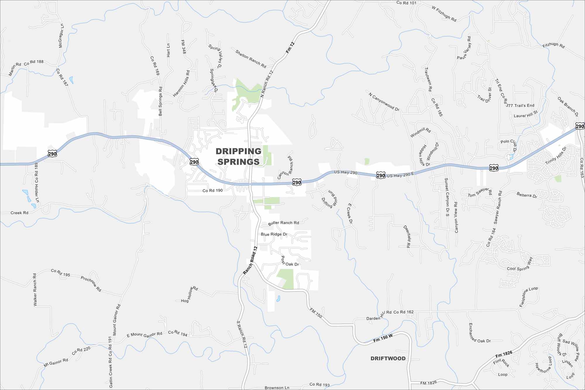
Our map of Dripping Springs shows a Hill Country town just west of Austin. Rolling terrain, creeks, and open ranchland stand out. It’s often called the “Gateway to the Hill Country” because of its location.
Map Information
On the Map
Interstates/Highways: US Hwy 290 Major Roads: Ranch Rd 12, FM 150, FM 1826, Fitzhugh Rd, Bell Springs Rd, Trautwein Rd, Sawyer Ranch Rd, Creek Rd, Mt Gainor Rd, Prochnow Rd, Gatlin Creek Rd, Shelton Ranch Rd, Darden Hill Rd Nearby Communities: DriftwoodTexas State Maps
Scan our maps of the massive southern state of Texas.


City Maps of Texas
Explore our map collection of Texas cities.


