Map of Dickinson, Texas
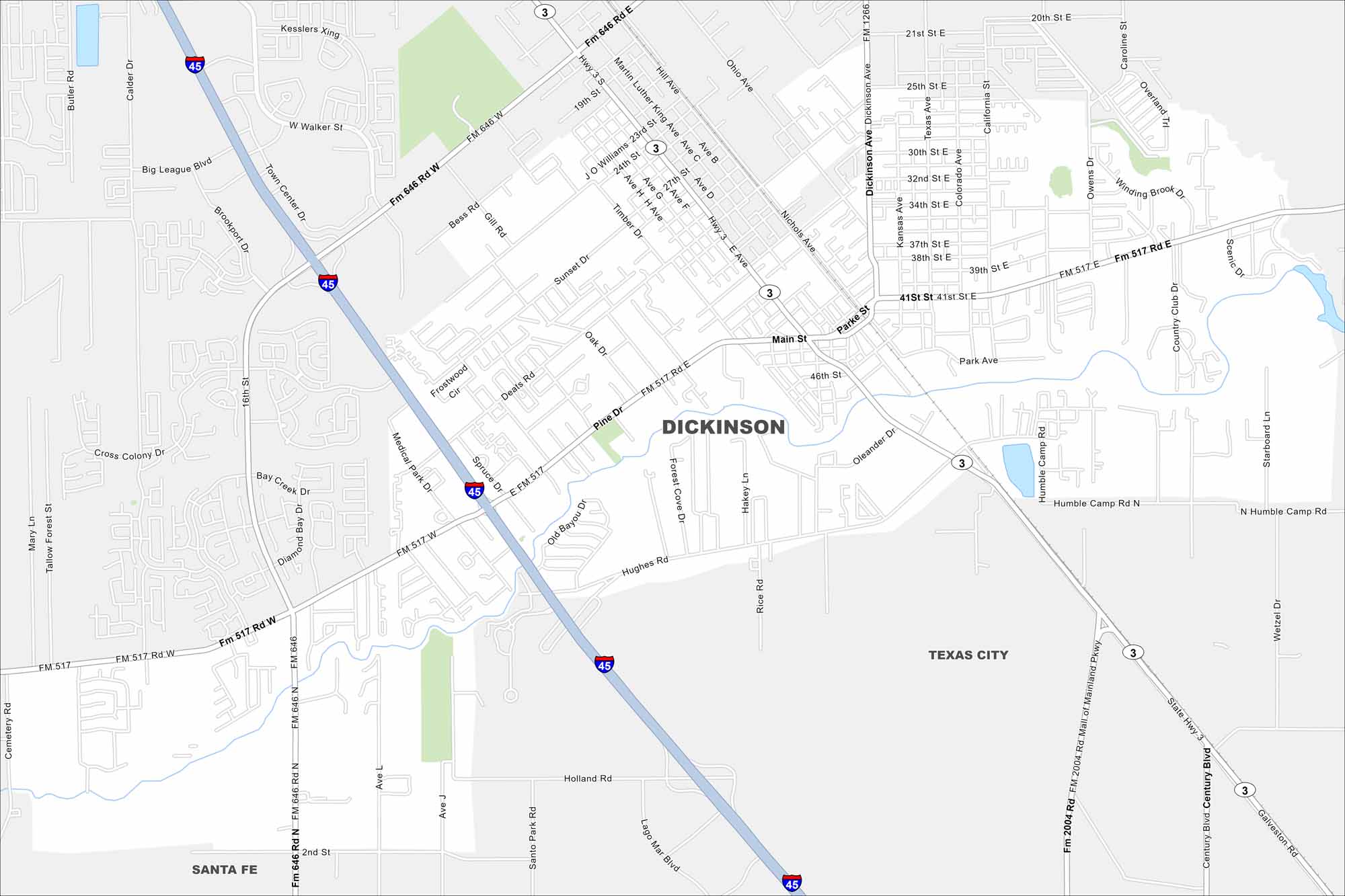
Dickinson sits between Houston and Galveston along I-45. On the map, you’ll see Dickinson Bayou running through the city. Its waterways connect it closely to the Gulf Coast.
Map Information
On the Map
Interstates/Highways: I-45, State Rte 3, State Rte 146 Major Roads: Main St, Dickinson Ave, Hughes Rd, Medical Park Dr, FM 1266, FM 2004, Holland Rd, Sunset Dr, Pine Dr, 41st St, 21st St, 25th St, 30th St, 34th St, 39th St, Nichols Ave, Kansas Ave, Texas Ave Nearby Communities: Santa Fe, Texas CityTexas State Maps
Scan our maps of the massive southern state of Texas.


City Maps of Texas
Explore our map collection of Texas cities.


