Map of Des Moines, Iowa
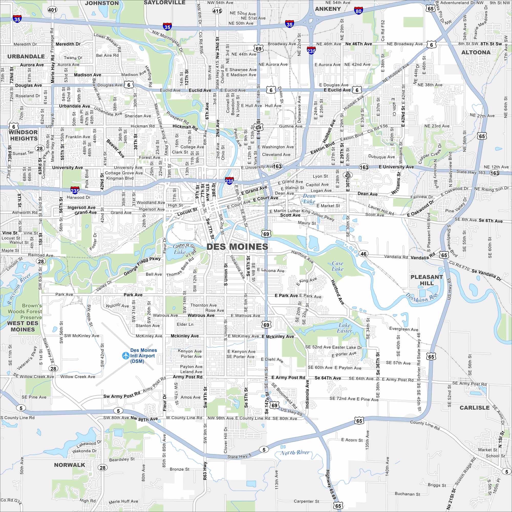
Explore our map of Des Moines along the Des Moines River. The city’s downtown sits at the river bend, with major roads here. It’s the capital and largest city in Iowa.


Map Information
On the Map
Interstates/Highways: I-35, I-80, I-235, US Hwy 6, US Hwy 65, US Hwy 69, State Rte 28, State Rte 46, State Rte 163, State Rte 401 Major Roads: University Ave, Grand Ave, Euclid Ave, Army Post Rd, Hubbell Ave, Douglas Ave, Hickman Rd, Fleur Dr, Martin Luther King Junior Pkwy, SW 9th St, SE 14th St, Easton Blvd, Delaware Ave, Park Ave, Watrous Ave, McKinley Ave, County Line Rd, E 14th St, E University Ave, Guthrie Ave Airports: Des Moines Intl Airport (DSM) Lakes and Reservoirs: Lake Easter, Case Lake, Gray’s Lake Major Rivers: Raccoon River, Des Moines River Parks and Preserves: Brown’s Woods Forest Preserve Nearby Communities: Johnston, Saylorville, Ankeny, Altoona, Pleasant Hill, Carlisle, Norwalk, West Des Moines, Windsor Heights, UrbandaleIowa City Maps
Browse city maps in the state of Iowa


